
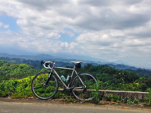
After missing two weekends with sickness and the unpleasant aftermath of a chest cold, I finally got to take advantage of a beautiful morning on the bike.
As my recovery has progressed, I have still been confined to many of the familiar roads in the greater Taichung area. But this rider needs more than that.
There are some people who can do the same three rides week in and week out…. Guguan, Sun Moon Lake and the 136. Yawn!
That rider isn't me.
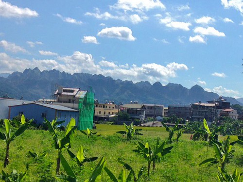
I plotted a route on some roads I had some familiarity with, but like a Beatles record, a ride can often say something completely different in reverse. I decided to climb up into the hills above Nantou City beneath Jiufen Er Shan, and then make my way down the other side of the ridge toward Jiji.
I had made it to the ridge on another ride, but the list of unknowns was too great for me to roll the dice on that particular day. This time I would be ready…. so I thought.
I pedaled down to the Highway 14 in Caotun and then filled up on supplies at a 7-11 a couple blocks from Nanping Rd.
Like so many great rides, the thrill isn't cheap. This ride really gets started with a blistering hill climb to a rolling slick of pavement that cuts through shady farms and a sprawling cemetery high above Nantou.
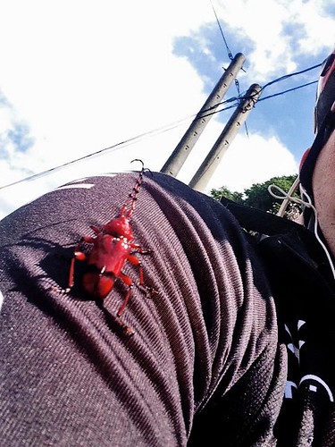
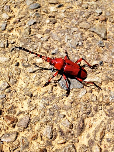
I hit the climb with all the explosiveness of a bucket of water. I made the climb and spun out the legs before running into a large horned beetle that hitched a ride for a kilometer before I flicked my new friend to the side of the road.
Around a corner Longcao Rd. reveals nothing but an ocean of green. Somewhere under the glowing canopy of jungle there are a few narrow strips of pavement that connect to somewhere else.
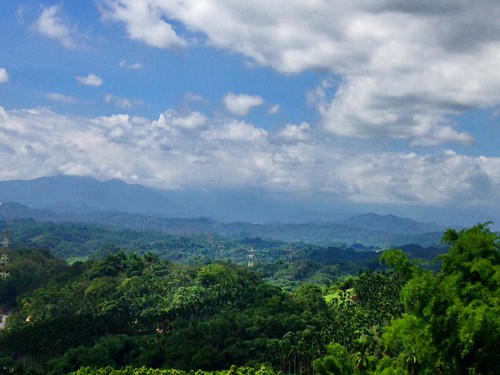
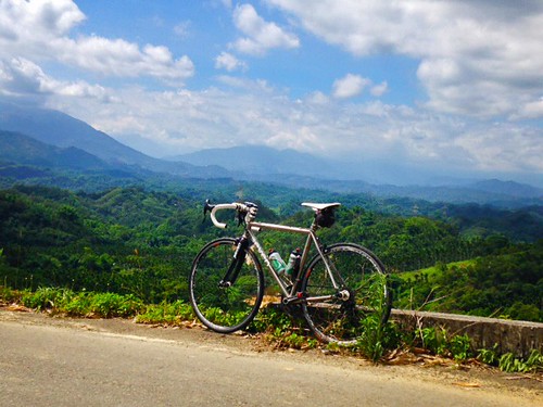
I entered the Longnan Recreational Area, which is on the southern side of Jiufen Er Shan. There are hiking trails, waterfalls, and a few leisure farms-- as well as the frightening landscape of the 921 Earthquake epicenter.
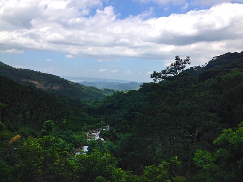
I crouched into a climb as my saturated cycling cap endlessly dripped droplets of sweat into my cycling computer.
The road ramps up the side of the mountain with views that reach all the way to Caotun. I concentrated on my pedaling as I cranked up to the end of the road.

The Nantou Route 55 fractures into four smaller parts. I had made it to this point before, but the idea of jumping off into an unknown valley was too much of a risk for the amount of water I was carrying.
I thought this would be different. This time I had one full bottle of water… but my stomach had started to growl. Bad sign.
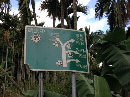
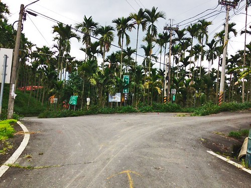
I double checked the GPS and heaved myself over the edge to an area marked 無心山 or "Heartless Mountain". With a vote of confidence like that, I was looking forward to the adventure.
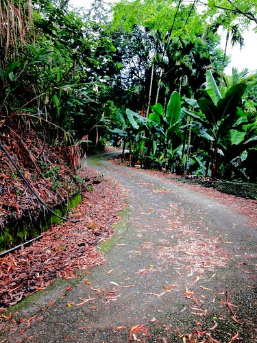
The road flipped and turned over itself on some fantastic grades that obscured the glint of corrugated siding of the occasional hillbilly farm.
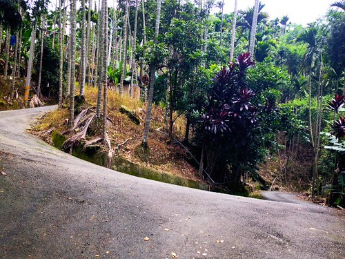
BOOM! Suddenly I was slicing along the edge of a fantastic valley hemmed in by massive cliffs of rock and jungle. The sight was simply awesome.
I was finally sure I was on Yongle Rd.
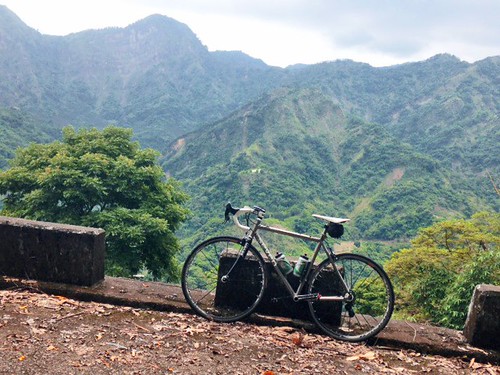
I was soon passing families out looking for places along the creek to dip their feet and barbecue sweet wieners in the steaminess of the jungle.
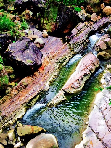
By the time I reached the junction with the 139, I was positive I had overextended my calorie intake and headed toward Nantou. I figured a ride on a gorgeous country road back to Nantou would surely beat going to Jiji and returning to Nantou on the Highway 3.
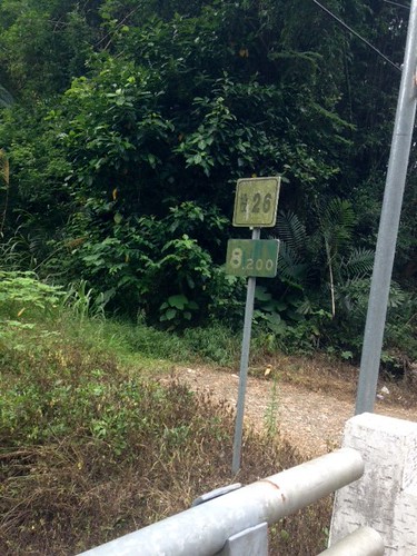
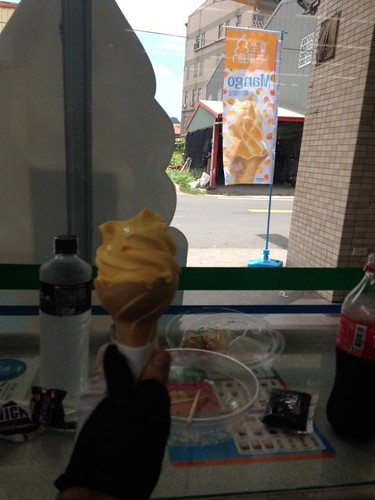
Finally, A subliminal message caught my eye and I found a place to quickly take on calories.
The trip along the Highway 3 from Nantou was a scorching hell. My legs were already beginning to twitch with cramps at the top of my pedal stroke. I had waited too long to eat and suffered for it. To make matters worse… there was a nasty 15kph head/crosswind conspiring against me.
As I crested "the hill of shame" before the bridge connecting Wufeng and Dali, my legs locked up in painful cramps. My hips, quads and calves were locked in pain.
After sitting on the side of the road for a time, I made it back on the bike toward home. About 10 blocks from home I had to stop again and get one last water to cool the cramping in the heat.
It was an absolutely spectacular day.
I highly recommend this route for any of the experienced riders in central Taiwan who are itching to break from the regular routes and get a taste of something special.
These roads fit together in a seamless route of cycling ecstasy. When I get back up to strength, I can imagine working this route into something even more epic that completely avoids the big roads.
It just feels good to be back exploring again.
Route 2,663,884 - powered by www.bikemap.net


