body{background-attachment: fixed ! important; }

Monday, December 22, 2014

Connecting to Bigger Things: Linking the Small Roads of Sanyi

Untitled

Each ride and each route had its own start. A ride often has its inception in the space between the map and our imagination. Other times it can be as simple as the kind of "happy accident" frequented in a Bob Ross sort of way, where a wrong turn turned out much more right. 

This road started with telephone poles. 
Untitled

Two weeks ago I had been out on a late-starter and chose a route I knew with an added wrinkle along a farm road. 

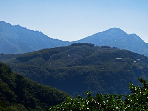
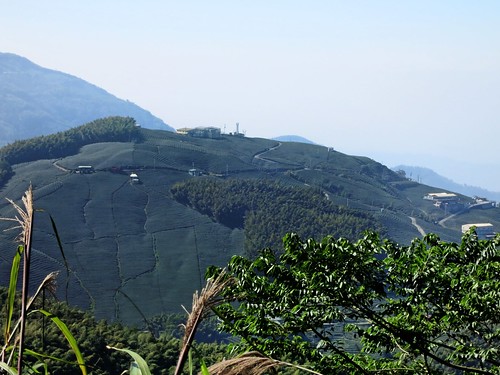
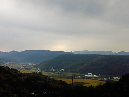
As I scanned the hillside across the valley, I saw a pattern of telephone poles zig-zagging up the hill and beyond. I really wanted to explore, but I couldn't guarantee a decent return time and left it. 

This past weekend I recruited Michael Turton to go exploring with me and together we disappeared into the Miaoli Route 51. 
Untitled

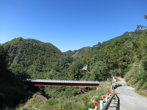
The Route 51 starts off with an impressive staircase out of the river valley off the Highway 13 in Da She. Several of these roads are popular with cyclists. The Route 49 is especially used as a cycling route. The Route 51 was surprisingly devoid of cyclists. 

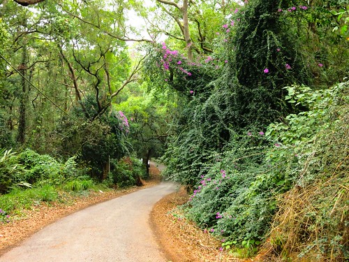
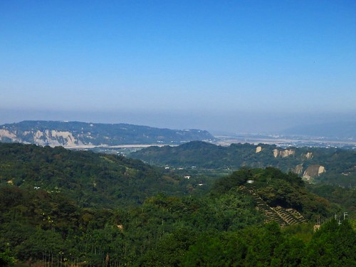
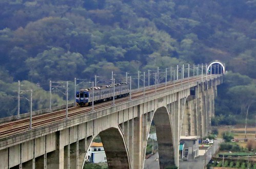
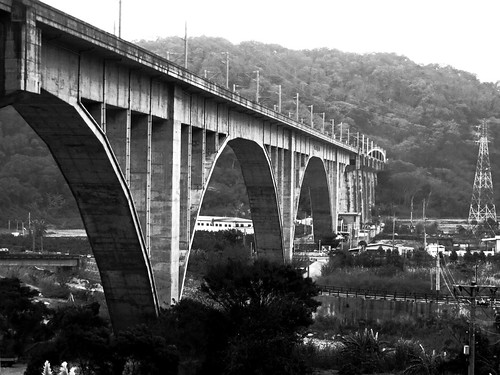
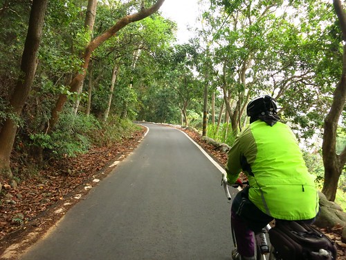
After capping the initial climb, which majestically overlooks the area and a famous railroad bridge, the Route 51 flattens out in a twisting avenue through an ecological forest preserve. 
Untitled

Untitled

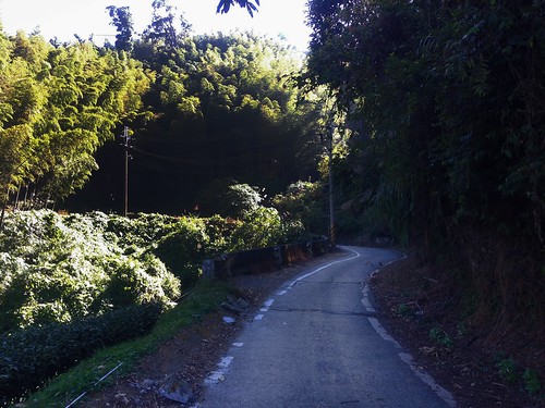
The road is not glass smooth, but rather quite rough for traction against slick moss. The quietness of the shade along with the clicking and squeaking bamboos is simply relaxing. 

The Route 51 will surely be on the map as an alternate to some larger, busier roads. 

Untitled

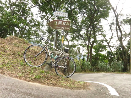
Near the Sanyi Station I bid my farewells to Michael and continued alone to see about connecting this network of incredible paved tracks that hide beneath the shadow of Guandao Shan. 
Untitled

My first experiment was a failure as a promising connection to the Route 56 ended at a sketchy little farm that, apparently, raised vicious dogs. Google Maps seems to include former roads and streams in its mapping software. Still, the ride through these little marshlands is so unique. 
Untitled

I eventually made my peace with the roads and retreated up the Route 49 to the Route 56. 

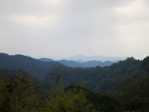
The Miaoli Route 56 is a hidden little gem that rises up to Guandao Shan.. but it does so with some compassion. Lots of little climbs, but noting that would restrict the road for climbers only. 
Untitled

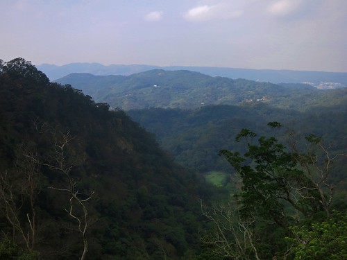
The Route 56 eventually opens up high over the landscape for about a hundred meters before being again devoured by the mountain. 
Untitled Untitled Untitled

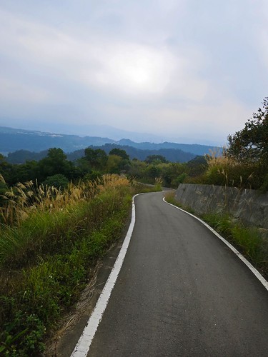
After another climb, the Route 56 ends at a strange intersection of tiny roads under a low canopy of trees. Each road leads off the hill, so I went down the hill to the Liyu Reservoir. 
Untitled

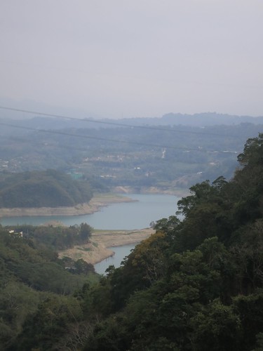
I brushed along the orchards and graves lining the roadway until I was on the 53-1... roads I was more familiar with as ascents than descents. 
Untitled

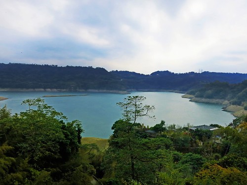
We need more water! 

I kept the chain on the large ring and jammed for home through Zhuolan and Dongshih. I was feeling good. 
Untitled

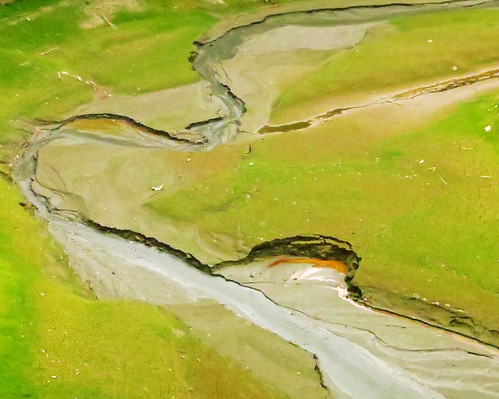
Moreover, I was able to put the final piece of a puzzle together--a puzzle that will make for a remarkable summer route under the shade of the jungle. This one's gonna' be great. 
Untitled

Route 2,869,597 - powered by www.bikemap.net

Tainan By The Hillside: A Hard 200k

Untitled

The day after Taiwan's big 9 in 1 elections, I decided to see what effect four complete decades in the tank could have on my legs. I felt like a longer ride with a little help from the wind. Somehow Tainan by Highway 3 seemed reasonable with enough outs along the way to avoid getting stranded with bad legs. The route would be a day of short, undulating hills that ripple along the foothills of western Taiwan. Not the kind of terrain to bank a successful day of distance on. 

I was joined by the phenomenal Rob King of Pro-Lite, who is an absolute hoss in the flats. Together we made for Tainan and Rob was going to try to sprint there. As for myself, I took a more modest approach... ahem. 

I had about cocked everything up from the get-go. I hadn't really done much stretching all week. I hadn't slept well. I hadn't eaten or drunk correctly before the ride. As Rob charged and hills, intersections and windmills, I kept waiting for the legs to warm up. I really started to fear I would have to abandon early. 

Untitled

We made moderate time between coffee stops and it began to dawn on me that I was probably a little overtrained. I had simple punished my legs in the hills for four weeks in a row and now was time for some payback. Remember, listen to your body. It always knows. 

Untitled

I was feeling so-so on the hills without the strength for the low grind. On the flats I was feeling off and on and Rob charged ahead on his blasted 28 year-old legs. It seemed it would take forever and my ass was hurting. We got busy jaw-jacking and missed our connection to the Highway 3, and beat it mack on course along the lovely Yunlin Route 172.  

Still, the hills were relatively bite-sized compared to some of the other stuff ahead. 

Untitled

At Zhong-pu a cyclist must commit to either continuing on the Highway 3 through the Tsung-Wen Reservoir, or escaping around on the Route . We figured the climbing on the inside of the reservoir might just be a bridge too far, and opted out on the 158乙... but not before some strenuous climbing.

Untitled Untitled Untitled

Alas, with every killer climb, there is a killer descent. The Route 172 was no different. This was a high-speed-don't-blink-for-a-second parachute drop. We skinned the side of that hill with a straight razor as gravity and inertia flung us through each bend. 

We were finally spit out onto the Tainan Route 165 and eventually the Highway 1. I was about out of gas, but Rob kept the pace going into Tainan. By the time we worked our way out to the HSR station road I regained a bit of energy and we arrived at exactly Beer o' Clock. 

It was an incredible 200k of hard work all day. I took 10 days off the bike and felt much better for it. 

Still, it was a fantastic trip. Next time it will be the inner reservoir side. Rob was a great riding partner. I hope he didn't pay for this ride as badly as I did. 

Untitled

Route 2,870,616 - powered by www.bikemap.net

Sunday, November 23, 2014

Climbing A Mountain Of Tea: Sanlinxi on Nantou Route 49 and 49-1

Untitled

For my last weekend in my thirties I thought I should do something bold. I had a couple ideas in mind, but I needed to check the weather and see when I could get out of the house.
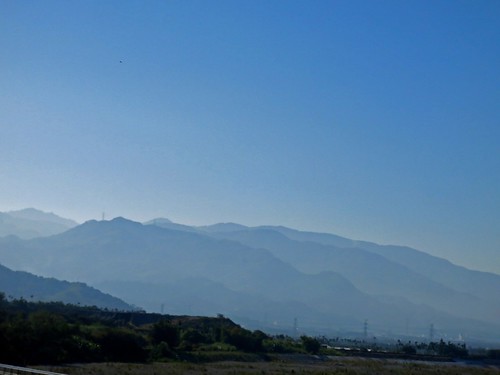
As soon as I saw the yellow glow of the rising sun reflect off the neighbouring high-rise, I took a gulp and knew where I was going-- I would be heading to Sanlinxi--the hard way.

There is the main road to the tea farming district of Sanlinxi, the 151, which snakes its way way past the outdoor tourism megaplex of Sitou and into the thinning mountain air. I have climbed this road a few times and I was looking for something different.

I had only ever descended the Nantou Route 49 and we were constantly being assured that somewhere beyond the towering wall of white mist lay the most amazing panoramic views. This time I was ready for some vistas.

Untitled

I chugged along to Zhushan (Jhushan) in about 90min. and then refuelled at the 7-11 that sits about four blocks inside the Route 149. I took three mini-packs of Gummi Bears to act as my energy gels as hey are cheaper, contain a third more calories than a gel, they taste better and are more fun to eat as they look like little tiny bears.

Untitled

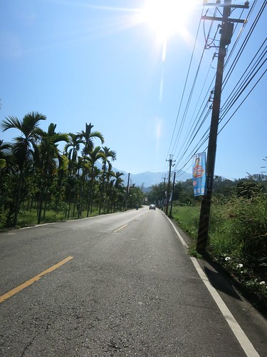
The mountains loomed ahead with the immediacy Taiwan's mountains all seem to possess. The Route  149 makes a quick right and the Route 49 keeps heading straight until it smashed head-on into a cliff that it makes no attempt to circumnavigate.

IMG_2763_2

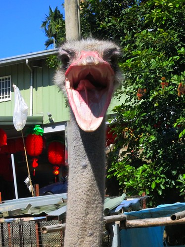
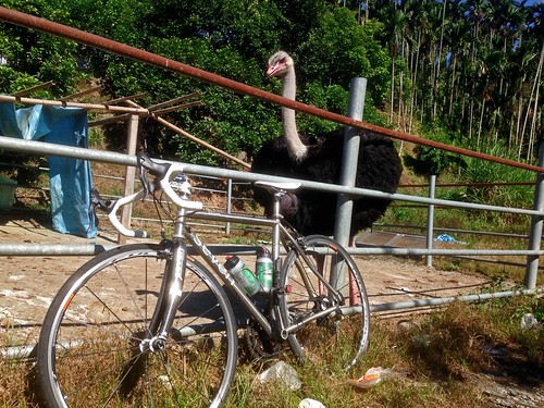
Before any serious climbing could commence, I had to stop at the absurd sight of a large African bird looming over the roadway. It must be the new prestige pet to replace the husky; another inappropriate animal for this environment. The ostrich was not taking visitors andI left before I could see any Moa (Ouch! Sorry about that).

Untitled

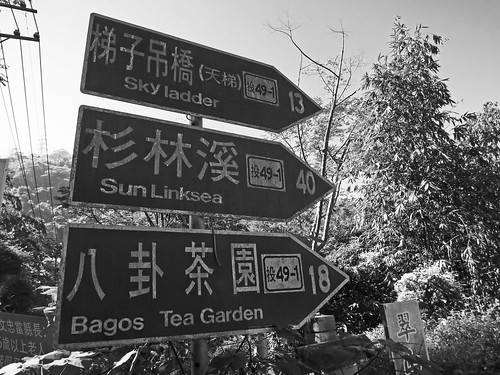
Although I had originally planned to take the 49 all the way up, I was lured into taking the 41-1. With names such as "Sky Ladder", how could I go wrong? It was going to Sanlinxi anyway. Fortunately that distance marker is about twice as far as the true destination.

Untitled

My legs were feeling a bit tired from my Thursday night ride (1650 calories in 90min) and I started to regret not resting another day.

The landscape and my familiar landmarks started to warp into unfamiliar shapes as I edged higher above the plain.

Untitled

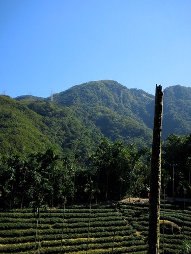
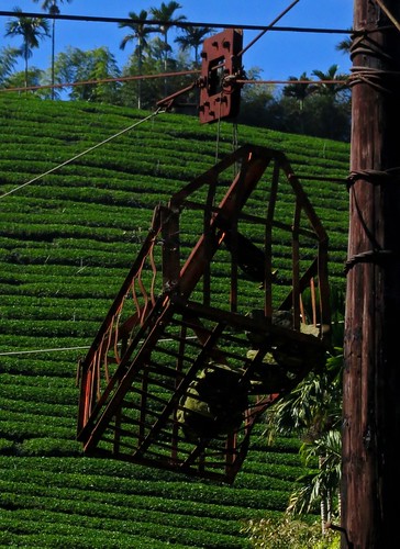
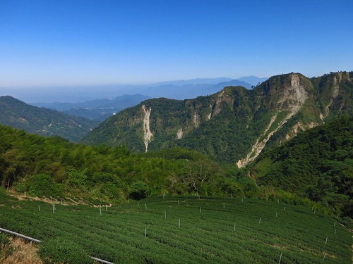
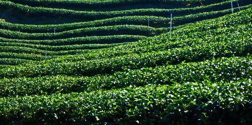
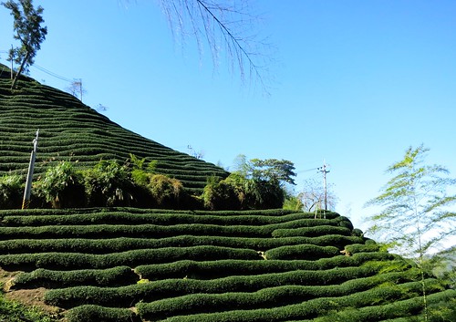
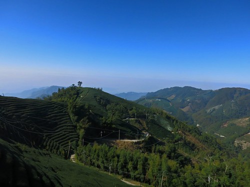
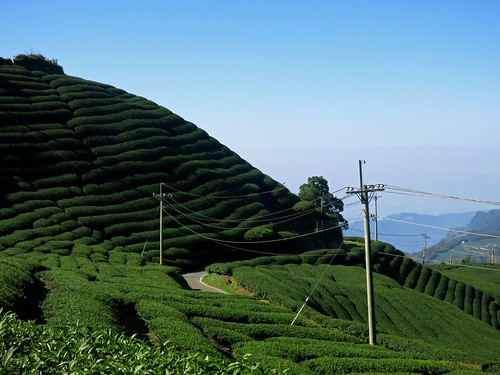
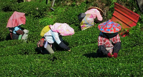
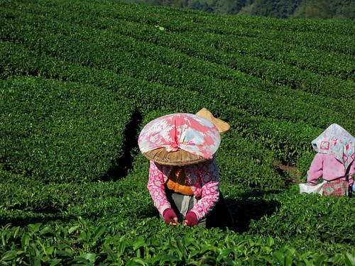
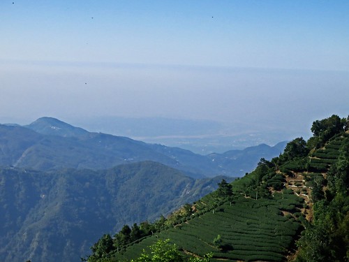
I was smack in the middle of tea country. It is amazing how much tea is being grown, but totally hidden from view.

Untitled

The altitude profile on the Route 49/49-1 is far, far steeper than on the 151. I was forced to battle lengthy stretches at 10 percent or more without the luxury of a switchback or gear spinning shelf. It was just a continual grind that churned my legs into hamburger.

Untitled

Despite being an alternate route by a good margin, the road conditions on the lower sections were simply praiseworthy.

I found a ridge near the end of the 49-1 to spin the amino acids out on and felt a bit better about my prospects.

Untitled

The 49-1 descended and smacked into the 49. I was sorely disappointed that the "Sky Ladder" has been less spectacular than what I remembered from the Route 49.

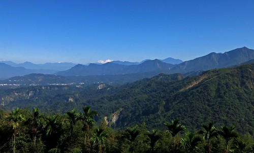
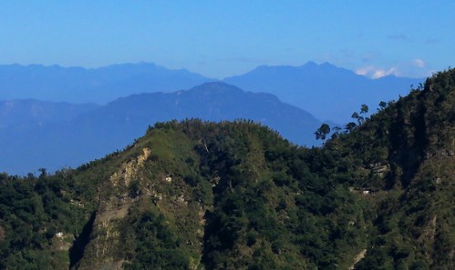
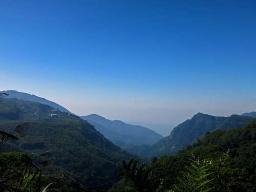
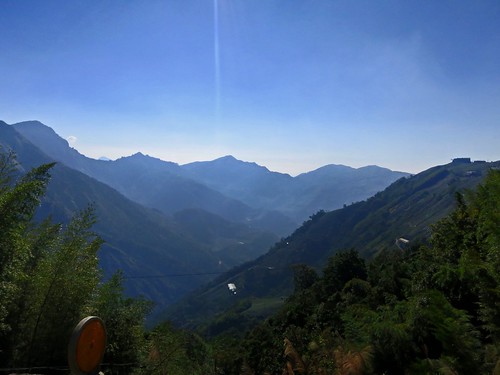
As soon as I turned the corner off the 49-1, the mountains came into view. It is really easy to forget how many of the damned things we have here in Taiwan. Just ripples upon ripples of vertical real estate.

Untitled Untitled Untitled Untitled Untitled

I kept at it and simply enjoyed being almost completely alone out on the roads. I imagine all the KOM contenders took a weekend off from the hills and with the marathon as the sport dejour in Taiwan as marathon chic is cheaper and easier to fudge than cycling chic, there are simply fewer cyclists to be seen in general. The mountains were mine!

Untitled

After a rough dip about three quarters of the way up, the road becomes a narrow minefield of uneven slag. It becomes especially tedious travelling at a slow, climbing pace and takes a lot of attention away from soaking up the views.

Untitled Untitled Untitled

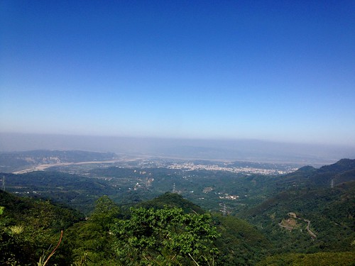
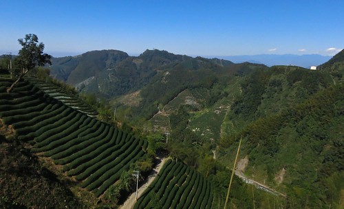
One of the greatest things about the Route 49 is that for large sections it faces outward toward the direction you started the climb. You can look back at your progress and really get a feel for the scope of what you are doing.

Untitled IMG_2781_2

I was well past the point of no-return and found myself a little behind schedule. I was forced to continue upward along a slice of paved track through the tea fields.

Untitled

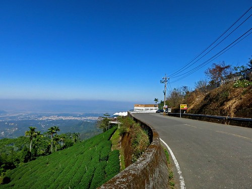
That little ribbon of roadway wrapped itself around every fold and contour on that hillside in a confusing boy scout knot amid layers upon layers of tea.

Untitled Untitled Untitled Untitled Untitled

I could look back and still see that I could almost reach out and touch Zhushan, but I was merely elevated above the town by some 2000 meters.

Untitled Untitled

The road finally flattened out and I was able to build up a little bit of speed. I thought I could see the 151 to Sanlinxi just on the opposite hillside.

Untitled

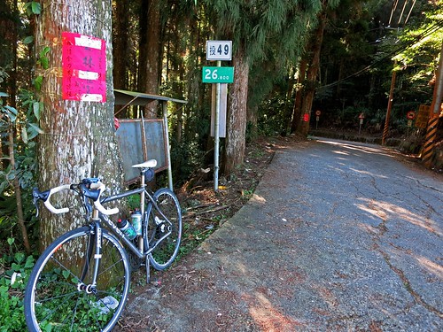
I took one last look over the mountains before disappearing into a cool cedar grove at the end of the Nantou Route 49.

Untitled Untitled

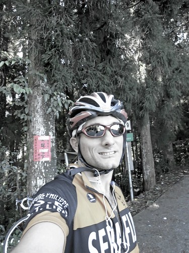
After a celebratory photo, I soaked up the biting chill as I dropped back down into the warmth of the flats.

As I beat it home, I was surprised how fast I was going with a crosswind and a little boost from a slight descent.

I stopped to assist a poor rider who was walking with a flat tire. He had no spare, no pump and didn't know how to change a flat. We have all been there at some point or another in life, and the best you can do is to lend a hand. He was so grateful for the cycling courtesy that we all (hopefully) share.


Untitled

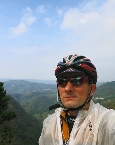
THAT!!! That was a good day on the bike. Rewarding to the last. This is what 5581 calories of hard work looks like.

Route 2,854,053 - powered by www.bikemap.net