body{background-attachment: fixed ! important; }

Thursday, March 12, 2015

Mayor Ko Wen-je Changing Lanes in Taipei?: Opportunities for The Bike in an Asian Metropolis

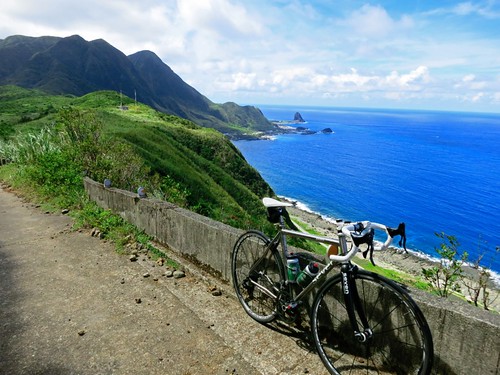
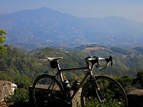
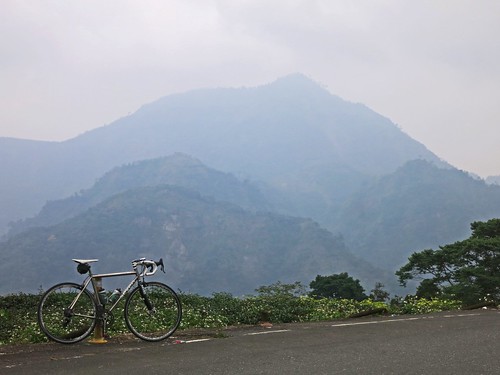
Seven Cycles Axiom SL: Biking Lanyu

In a quick note, Taipei city has announced an increase of rental fees for the You Bike program for the first 30min. from gratis to NT 5 dollars. This is really nothing and will hopefully help subsidise Taipei's existing bicycle infrastructure.

You might be asking yourself what that infrastructure might be... and that question is still up in the air as Taipei has far more rental bikes than places to safely ride them.

Taipei's new mayor, Mr. Ko Wen-je, who has taken on the problems of Taipei's culture of overdevelopment, kickbacks and mega-rich interests first, is moving his war on the construction industrial complex to the bike lanes. Much of Taiwan's bicycle policy for the past decade has been crafted from the boardrooms of the largest bike companies and the backrooms of local and central government offices. Bicycle infrastructure is often planned on a build first and ask questions later development plan that fails to address any burning needs other than to apply another superfluous layer to an already saturated tourism scheme for non-cyclists who want to ride bikes.

According to Mayor Ko from an article in the Apple Daily,
Ko Wen-Je's book stated, "I plan to improve bicycle riding environments, including urban bike trails, bike paths and riverside public bicycle system, to promote the use of bicycles in the atmosphere gradually, so that the bicycle has become a part of people's lives. Taipei City is still not enough, "bike friendly", although there are bike lanes, but many places are used as a parking lot, resulting in a serious shortage of bike lanes, bike riders have no way to go. 
 It is with this understanding that the mayor is encouraging all citizens to join the upcoming Asian Cycling Forum, which will be held March 19-20 and coincides with the Taipei Cycle cycling expo and the start of the Tour de Taiwan stage race.

This might be a great start for cyclists to begin taking back their space from corporate and development greed.


Sunday, February 8, 2015

Gas Giants?: A Crude Ride Along Taiwan's Petroleum Parkway (中油專用道路)

Untitled

Cycling and fossil fuels seem to go together like oil and... er....

Anyway, for my first ride of the Lunar New Year holiday I decided to take my quest for the little road northward into Miaoli County for a chance to bisect the range of hills between the Highway 3 and the coast.

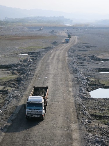
I have taken most of the major and minor routes that traverse these ridges-- the 130, the 60, 24, 26, and the others.... But I wanted to see if it was possible to climb to the top and follow the ridge line for the length of the hills. It looked like a project. Now that I have completed this ride and reported on it, I have saved any of you curious souls out there from having to unnecessarily tempt fate. If you have ever chugged up the Highway 3 between Jhuolan and Dahu, and wondered what kind of roads might be etched along those emerald peaks... look no further for I have come down the mountain with such knowledge.
Untitled

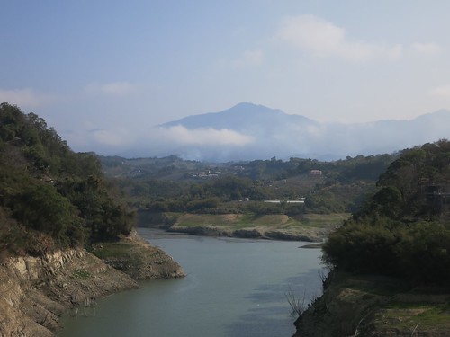
The day started out clear and promising, but Miaoli is the meteorological gateway to Taipei and can quickly transition from sunny and clear to gloomy, cold and wet.
Untitled

As I passed Dahu, I saw a road that might provide an early ascent to the ridge I was gunning for. I crossed the Bi'an Bridge and immediately launched myself upward along never-ending ramp of high percentage pain. The ramps never seemed to end.

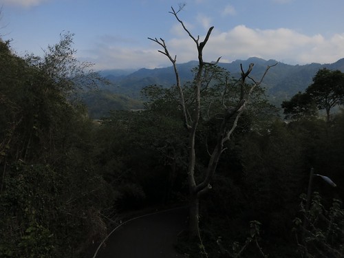
Eventually I slumped over my handlebars at the top, only to find a monastery and a walking path in the direction I had hoped to take. Sometimes Google Maps is too optimistic and Apple Maps too pessimistic. It can be a coin toss as to whether a road is actually passable by road bike or merely a hiking trail.
Untitled

I had wasted a tremendous amount of glycogen on a gamble that didn't pay off and I did;t need any more dead ends complicating my ride. I was about to enter the unknown and I needed a little more assurance that I was not about to commit precious time and fuel on discovering Taiwan's best, lost dead end.
Untitled

My hope was that the CPC Industrial Road (中油專用道路) would be my ticket to a hilltop tour of Miaoli County and a rendezvous with the Route 60 that would lead me out to a number of familiar roads that I could use to get home with the wind at my back.

The CPC Industrial Road starts just off the Highway 6 past Dahu at the point where the 72 Expressway disappears into the mountain below Gong Guan.

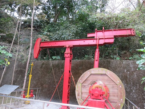
The road follows a terrestrial vein of liquid oil for the entire length of the hills between the Houlong and Da-an Rivers.

Oil was first discovered at the site in the 1860's and later exploited by the Japanese colonial administration. Today, Taiwan pumps 22,000 barrels of oil per day and refines its crude oil in four different refineries. This explains the refineries and petrochemical plants I have seen between Gong-guan and Toufen.
Untitled

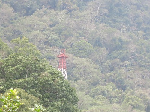
I knew I needed to be mindful of the road and there could be several service roads that lead to oil wells or other industrial sites. This kept me busy at my phone GPS and put a real drain on my battery life.
Untitled

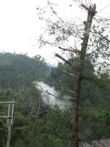
This really started out as a strange road. Aside from the hissing and steaming trees that had been rigged with misting nozzles to create an otherworldly effect similar to Tim the Enchanter, there were massive luxury properties with massive gates, a few imposing hostels, tiny farming shacks and several fenced off oil wells quietly littering the roadside.

I wondered if this road might be a total dud.
Untitled

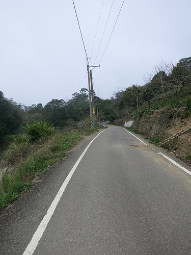
I nervously checked and rechecked my location and at the top of the hill I made the fateful decision to continue southward... just as a thick blanket of fog doused the area in a quiet, swirling chill.
Untitled

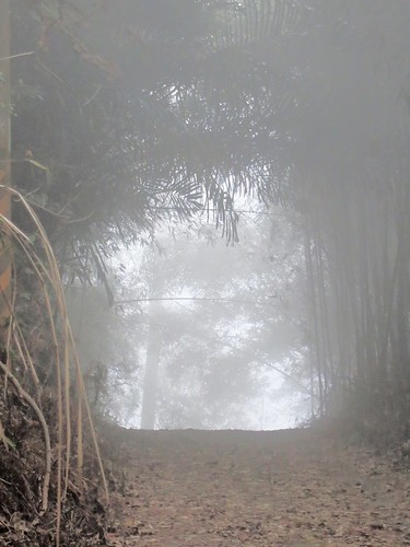
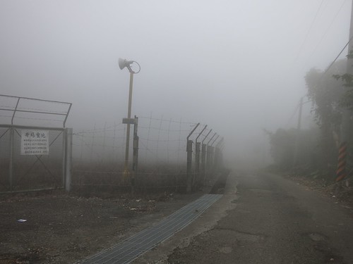
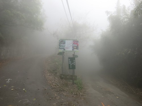
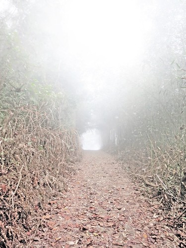
The feeling was otherworldly as I slowly rolled forward into the clouds. The landscape seemed to have closed in on me and the forest ebbed and floated in and out of focus. I tried to stay glued to the road and not mistake the void for a rare patch of smooth tarmac.
Untitled

Visibility was between 6 to 10 meters at most times. At one point I almost ran straight into a line of four ghosts hovering in a patch of brightly lit fog-- ghosts that turned out to be men from a work crew who had lost their truck in the fog. I was surprised a d relieved to see other human beings up there in those conditions and they were all so silent. I finally broke the eerie quiet with a question about the road conditions and was informed that the roads ahead are technically passable to Tongluo, but not recommended.

I have heard that before and found beautiful roads and brushed off the comment as something from a person who underestimates the powers of a bicycle.
Untitled

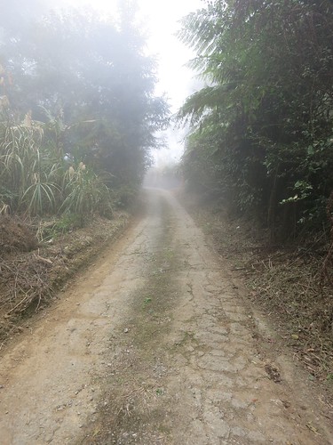
Even more fog sifted through the tangled canopy above as I disappeared into a chunky path of fragmented cement, mud and ground cover. I dismounted a few timed to walk down descents that were too steep and degraded to ride safely. The last thing I needed was a broken collarbone in an area like that.
Untitled

Somewhere in the tunnel of shadow and light, I surprised a true of macaques that woofed at me as I passed. It was enough to make me start whistling in the dark to ward off any more surprises. To make matters worse, my constant GPS checks had sucked my battery life down to 20% and I was still a long way from the familiar Route 60.
Untitled

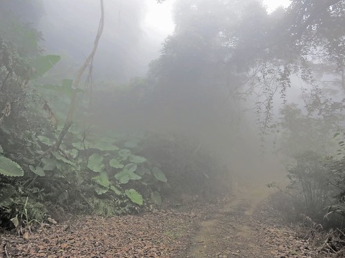
As soon as I turned a corner and thought I was getting somewhere, I found I was on the wrong road. My GPS was unstable in the terrain and I had plotted the wrong road. That led to a hike  through some orchard or another and up another road. I soon found I my road was blocked by a pack of angry dogs. Being true to Taiwan, the most aggressive of the bunch were a chihuahua that wanted a piece of my heel, and an ill tempered corgi. I was in no position to turn back and had to face off with a pack of unruly hounds. The owner came out and simply ignored the situation as he got into his truck. 

I was soon dropping off down the back of the hill in zero visibility with the hope that any more dogs would not come charging through the orchards to rip me apart in an area so desolate nobody would hear my screams. 

I saw an arrow spray painted on the road and followed it in the direction of the bigger road. It led me deeper and deeper into an eroding creek bed that I hoped would not be the only way out. After sparingly checking my GPS, I concluded that I had missed the real road and had to hike back up into the fogged-in orchard if I was going to have any hope of escaping before dark. 
Untitled

I emerged from the forest and back out into orchard land. I could hear a chainsaw somewhere in the whiteout and felt some relief before a hellhound burst out of a hidden driveway to send me into a panicked sprint toward the unknown up ahead. 

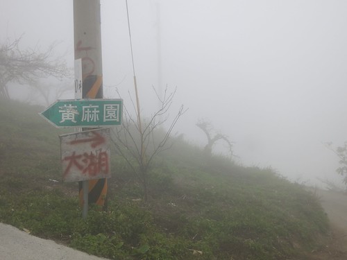
Boom! I rolled across the path of the rest stop at the top on the Route 60. I knew where I was. Just as the fog became a wet fog, I was in familiar territory. 

I slid down the hill toward the Route 119 and the Route 49 until I was limping along through Sanyi on the Highway 13 toward home. 

I am sure there were some fantastic views from up there. The roads were horrendous and a complete safety hazard. A road bike does not belong up there at all... and it was a hell of an adventure... in retrospect. 

And now I know what is up on that hilltop. 

Untitled

Thursday, February 5, 2015

Little Roads Make Big Rides: 東崎街,苗56, 花草坑農路, 130, 苗54-1, 苗49, 苗51-1

Untitled

A couple weeks ago I completed an absolute gem of a ride without going too far from home. For the majority of my ride I was alone with no other company other than the occasional eagle hovering above my shoulder or the garbled echo of a Taiwanese radio station being pumped into the orchards over a rusty sound system. 

Considering I was never really more than a dozen of so kilometers from busy towns and more densely populated cities, this type of cycling solitude is almost unheard of. 

It was only by stringing together a few country roads that I was able to put it all together into a single gleamingly clear day of riding. 

(I would love to provide a map, but it seems my mapping tool is experiencing some trouble.)

Untitled

The official beginning of this ride was in Dongshih, on the Dongqi St. (東崎街). 

Untitled

Dongqi St. is a shallow climb through the orchards on the ridge above Dongshih. It eventually tops off with a short climb before descending into the Da-an River. 

Untitled

I briefly linked to the riverside viaduct that leads back to Jhuolan where I caught up with the old Route 55 better known as Pinglin Rd. 

Untitled

Pinglin Rd. was quiet and delightful as usual. I did have to shoo off a couple of big dogs, but other than that it was its usual charming self. 

Untitled

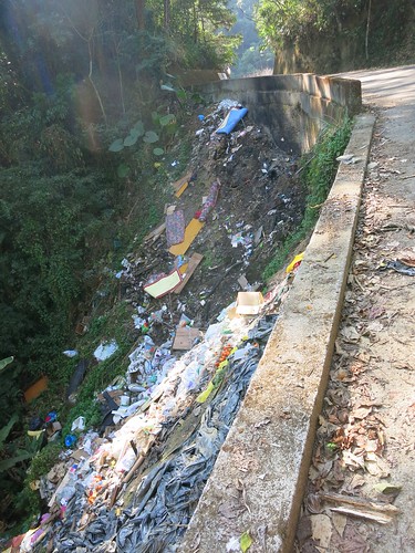
After the first climb and descent on Pinglin Rd. near the Pinglin Elementary School, I made a left up the Hua-cao Keng Farm Rd. (花草坑農路). This is a tight climb along a forested hillside that is really a spectacle... until you get to the top of the hill where someone has used it as a garbage dump. 

Untitled

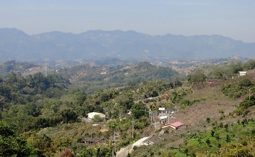
From the top I couple look out over the ridge to the larger hills looming on the horizon. 

Untitled

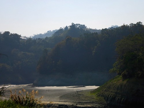
I made a link to the 54-1 that dipped into one of the more remote fingers of the Liyu Reservoir. 

Untitled

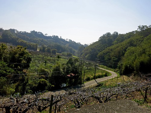
So much of the route was like this. A dip into a hidden gully or an arc along a a bare orchard. 

Untitled Untitled

I was eventually dumped off on the Highway 3, where I plodded up the asphalt onto the Route 130. 
Although I have climbed the 130 several times. I had never taken the 56 from the lower section of the 130. I had exited there before, but never the opposite way. Therefore, I was a bit surprised by the degree of climbing I had to commit to on the eastern end. 

Untitled

I chipped away at the hill and snap a picture or two as I emerged from the forest into sunlight. Then it was back into the forest for more climbing. 

The descent was a bit rough, but some parts smooth out for a good swooping drop. 
I hit the Route 49 and let gravity pull me to the base of my final climb up the 51-1 toward Sanyi. 

It is a bit of a chug to hack up that long climb into Sanyi. The gradient isn't too bad, but the hill is broad enough to make it a fair bit of work. 

Untitled

I continued along the 51-1 as afternoon sunshine filtered through the gaps in the canopy above. It was completely peaceful. What a wonderful road. 

Untitled

By the time I dropped out of the hills, I had been passed by no more that a dozen cars over the course of the ride. 

This is a route that will go on record as one of my all time favourites. 

This was 140km of riding from Taichung that well have been a million miles away. 

Untitled Untitled

Monday, January 12, 2015

Taiwan's Fascination with Black Box Cycling Infrastructure Schemes

DSC03693
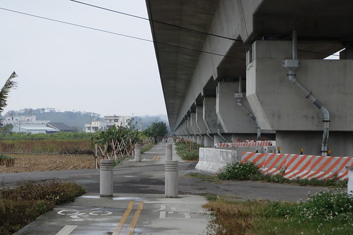
Another bike path to nowhere. This beautiful path has no destination. Photo courtesy of Michael Turton


So, from what they say, 2015 will be the year of the bike path. Taiwan's central government is planning to connect several existing bike systems together into a complete cycling transportation network by the end of the year. 

The executive Yuan explains
As for promoting cycling as a sport, Premier Jiang emphasized that ministries should build up a cycling atmosphere around the more popular routes and attract more foreign tourists for biking in Taiwan. Since this effort involves infrastructure construction, software management, promotion and marketing....
and further 
MOTC said it is planning to integrate bike paths with railways, buses, scenic spots, restaurants, accommodations and tours to provide a quality, safe and green cycling environment. Meanwhile, it will team up with the Sports Administration to assist local authorities to install bike path signs and mileage markers. It will also work with the MOI and MOE to include bike paths into land development and tourism plans, helping to create jobs, serve the physically active population and spur local industries.
An old report from Taiwan Today:


Under the NT$1.2 billion (US$40.2 million) government-funded project, 60 in-place paths are to be linked. Comprising paths, provincial highways and rail connections, the network will enable cyclists to complete a round-island-tour of 1,000 kilometers in nine days.
“Since I took office in May 2008, Taiwan’s bikeways have grown from 720 kilometers to 4,017 kilometers, President Ma Ying-jeou said at a Ministry of Education-hosted meeting with the nation’s youth Aug. 31 in Taipei City. “I have instructed the Ministry of Transportation and Communications to prioritize mapping the network and promoting it abroad.”

I would and should be ecstatic over this. As a cyclist I should feel like pogoing with pom poms a blazing in support of a bold government initiative to promote and develop a greater cycling infrastructure. I should. I really should. 

But I can't. 


On its surface it looks great. Upon closer examination this looks like another publicly funded black box program that diverts valuable resources away from where they would be most beneficial and locks them up in a mysterious scheme that serves as resume padding for elected officials in the lead up to an election year. No maps or plans are available for public scrutiny. The plans are left to localities to implement and the number of people served is greatly reduced by only focusing on cycling tourism. The government even had the gall to blow a bunch of smoke in regard to "reducing traffic-related pollution while boosting Taiwan’s tourism appeal." The cynicism hurts to the point of laughter. Not only is it unclear which businesses would benefit, nor does the plan specify an exact route, but is typical Taiwan fashion, the plan also does not allocate any funds for regular maintenance or safety. 

Well done!  


The fact of the matter remains that focusing on weekend and leisure cyclists as well as niche tourism, takes NT$1.2 billion dollars and throws it into putting garlands on an ass. 

This is a symptom that is rampant with Taiwan's cycling infrastructure. 

The majority of Taiwan is impeccable for cycling. The gaps between cities host dozens of excellent routes a cyclist can choose from. There are lovely roads that parallel other lovely roads. To narrow them down would be a disservice to the traveller. The problem is not in the gaps between cities where it appears much of this fund will be spent. 


The central government needs to quit throwing money into the black holes of local construction contractors and their political patrons. 

The greatest need for NT$1.2 billion in cycling infrastructure is in the cities once a cyclist has covered the gaps. Once a cyclist navigates through the countryside and arrives in Hsinchu, Chiayi, Taichung or Changhua... what then? There is nothing. The cities are not designed to accommodate the bicycle as a regular part of the transportation system and there have been no serious moves to actually move toward the bicycle's integration. 

Various cities have gone as far as public bicycle rental schemes, which are actually quite handsome and conspicuous, but the bicycles really have nowhere to safely go. I often see these orange, slow moving bikes weaving in and out of traffic and uneasily along sidewalks. There will be no reduction of emissions when inviting foreign visitors to ride their bikes around Taiwan. 

We hear of fancy bike trails like the congested Hou-Feng and Sun Moon Lake trails, but these are completely purposed for occasional entertainment. They benefit a few tourism interests and rental stations, but mean nothing to the majority of Taiwanese. 

Taiwan can do without overdeveloping the rural cycling atmosphere... but Taiwan can not continue to ignore the need for a serious and public approach to integrating the bicycle into the daily lives of its urban majority. 

I hope the new local heads can look beyond the cash rewards of a vague government program, and decide to use the cash in areas that may actually impact the lives of their constituents. 

Nantou Route 56: The Lost Highway of Central Taiwan

Untitled

There are some roads that may not look like much on a map, but they are begging to be ridden.

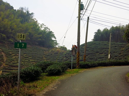
Several weeks ago I decided to climb the 頭49 to Sanlinxi and it gave me ample time to study some of the smaller roads in the hills around Lugu. There were several loose strings, a few promises... and then there was the 頭56.

As soon as I realized what I was looking at, I knew I needed to make an attempt on it while the dry winter weather was still dry and wintery. This past Saturday I threw myself into the unknown and experienced the most significant new road (to me) in a very long time.

Untitled

I took off a bit later than I had hoped, and I slept on auto-pilot all the way to Mingjian, where I plodded my way along the Highway 16 to Jiji. At the 131 bridge, I started to wake up and take notice of my surroundings. I didn't want to miss my turn into the unknown.

Untitled

The 頭101 is the first deviation I made from my regular route, and I soon realised I had been on the same road several years earlier.

Untitled

For a Saturday on Lugu it was amazingly quiet. I may have encountered only one car on the entire stretch of road.

Untitled

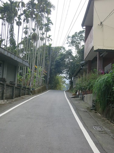
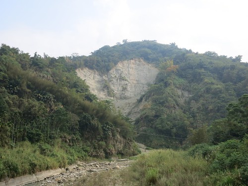
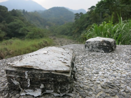
The 頭101 is one of those foothill roads that clings to a sandy riverbank and meanders past bare clay walls where chunks of hillside have fallen away.

Untitled Untitled Untitled Untitled

I was soon on the 頭56 where I took the left along a strange trout pond.

Untitled Untitled

The whole area around Fonghu Shan is littered with tourist resorts and hostels for the weekend getaway. Tackiness stacked on top of tackiness on top of the faux-brow aesthetic. I was worried.

Untitled

A couple kilometres further toward a bird sanctuary, the touristville evaporates and the mood is suddenly silent.

Untitled

After a tricky right hand hook past the ticket gate of Birdland, it is as if the road enters a parallel universe of ultimate tranquility. It is like plunging a thousand feet below to the Land of the Lost.

Untitled

I was wide awake. The 頭56 whips and wends through the narrowest cliffs this side of Taroko.

Untitled

There is little room for anything else but the relatively broad width of a two lane highway. And that was the thing about it. It looked like an actual highway... except it was almost completely abandoned, save for a few red pepper farms and an earth god shrine. It is otherworldly.

Untitled

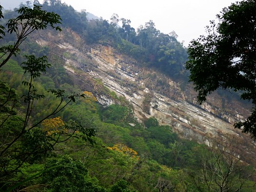
I missed the right hook and arrived at a dead end. The highway had quite literally died. It appears the road had formerly been a much busier highway, until an earthquake or some other calamity cleaved a chunk of rock the size of a small town from the side of the mountain.

Untitled

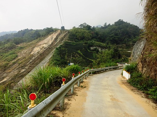
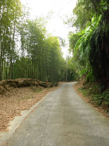
From this point on the broad two lane highway became a rough trod trail of chunky concrete that cut through jungle and bamboos.

Untitled

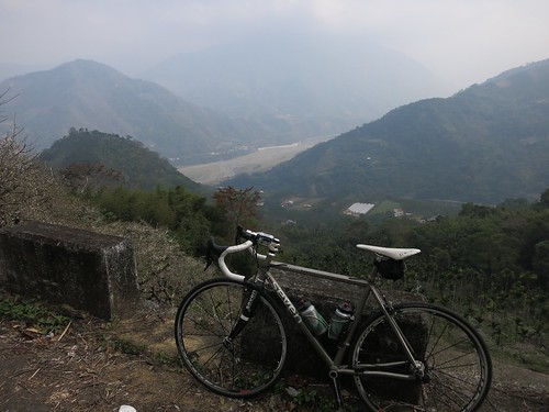
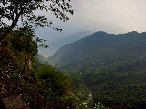
The climb was demanding, but doable and the jolt of adrenaline from the view helped make it all the easier.

Untitled Untitled

The climb was over as soon as it started and I was quickly cruising toward Xinyi Township.
Untitled Untitled Untitled Untitled

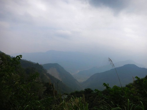
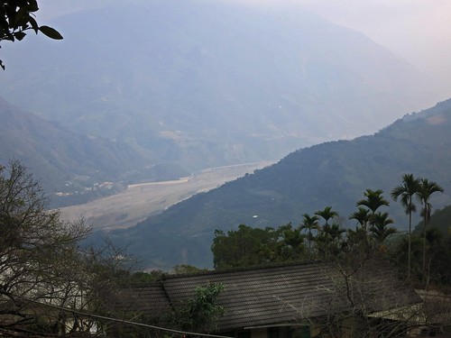
I kept getting peeks at the river valley below from gaps in the trees.
Untitled Untitled

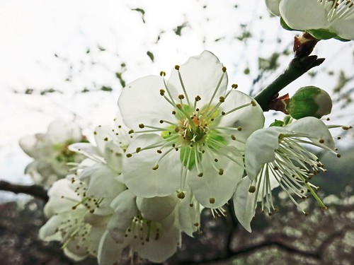
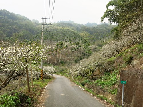
The final descent rips right through the middle of a plum field with the white blossoms looking like fresh snowfall.

Untitled

I made an initial attempt at the 頭59, but the steady line of VW Transporter vans encouraged my hasty retreat.

Untitled Untitled

The 頭56 is an extremely significant road as it provides a corridor from the Highway 21 behind Alishan to Lugu. This is huge as it can connect Lugu and Sanlinxi to larger trips around Alishan without being an unnecessary diversion. Imagine planning a trip through the mountains of Taiwan and coming up the 頭49, 頭51-1 to Sanlinxi, then simply taking the 頭56 out to the Highway 21 before assailing Tatajia. The 頭56 is not a very long stretch and it isn't a monument of physical endurance, but it provides the vital link between some other excellent routes.


Route 2,882,485 - powered by www.bikemap.net