body{background-attachment: fixed ! important; }

Wednesday, October 11, 2017

A Tour Through Other People's Wars

IMG_8956

This past ride I am calling, A Tour Through Other People's Wars, which is an intentionally intentionally deceptive title, but I will be addressing that further in the body of this post. It was a fantastic slow ride that, for me, really demonstrates how a little local knowledge can turn an otherwise uninspired ride on a hot day into a cycling gem.
IMG_8965

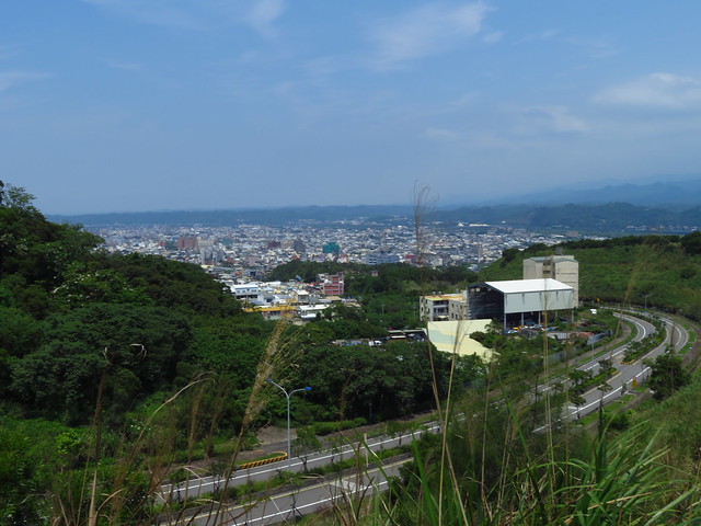
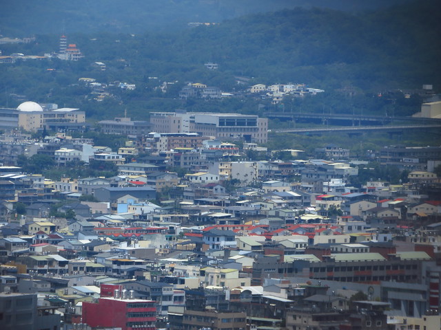
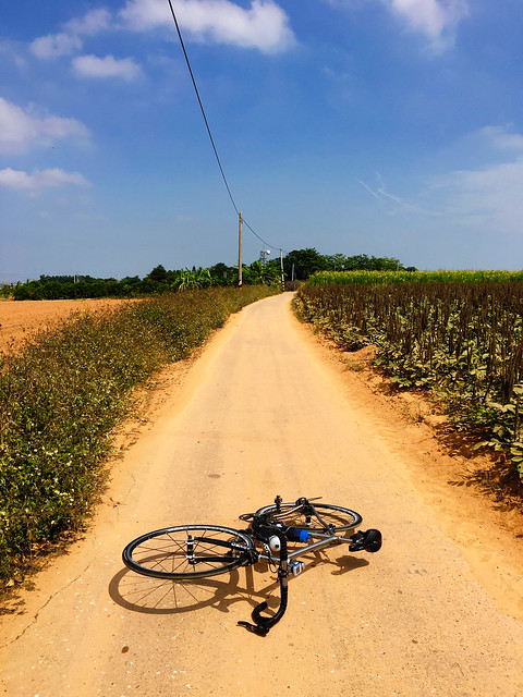
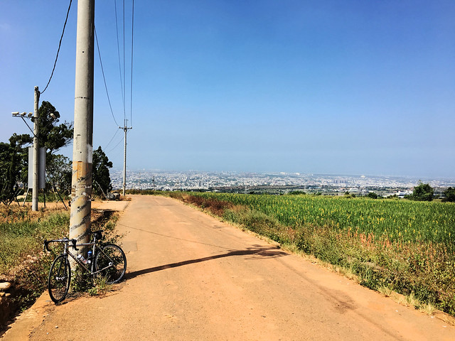
I actually started out at an active archaeological dig (the location of which I will not disclose) and made my way up to the top of Taichung's Dadu Shan (大肚山) and crept along the small farming roads near the Taichung Metropolitan Park. After clearing the park and military installation, I took the immediate left and stuck out into the red clay of the sweet potato farms that checker across the plateau above Taichung city. It can be a bit of a game of GPS BINGO to navigate the right roads without rolling down the hill, but the scenery can be pretty stunning for being in the midst of Taiwan's second largest city.
IMG_8960
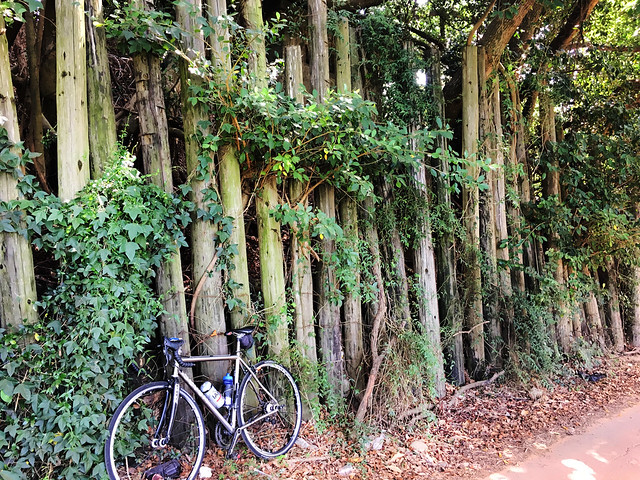
The entire crest of the hill is dotted with military infrastructure that dates back to the Japanese colonial era (1895-1945) with the occasional concrete edifice from the old Taichu Coastal Defense network and the latter Anti-airbourne Defense System; a system of concrete bunkers designed to repel a Chinese airborne invasion. This Cold War era relic from Chiang Kai-sheck's obsession with wasteful military expenditure for the sake of accruing more U.S. Aid was oddly surrounded by large wooden posts more reminiscent of Fort Clatsop than a Cold War fortification. The extra layer of razor wire on the inside told me there may be more afoot than a concrete bunker. The mobile SAMs around the corner seemed to confirm that this property was still very active.
IMG_8967
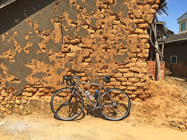
I bobbed along the dusty backroads along the hill before descending down past a landfill near a cemetery to the Taichung Route 63... The gangster-ist road in Taichung. It was so gangster there was even the pristine carcass of a white Nissan Cefiro on a pedestal in one of the dilapidated properties that line the otherwise fine road that lands at the gate of the Taichung International Airport. Just beyond the airport I ducked onto another side road with its crumbling mud-brick buildings toward my destination.

I had been hoping to get a closer look at a neighborhood noted on the map as the "Savage City" (番仔成).

This "Savage City" was established in 1754 after the border between indigenes and Han settlers had been redrawn. A subgroup of Papora speaking people moved up the hill from what is now Qingshui and established a satellite village consisting of approximately 20 families. The village was surrounded in the traditional style by a palisade of defensive bamboos and a small moat.

I immediately noticed groves of thick bamboo lining one edge of town and several old buildings that had been built sometime around the Japanese census of 1905, which registered 20 households in the village.

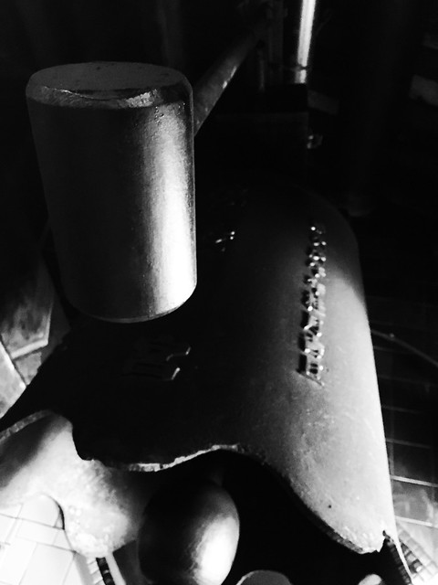
If it hadn't been so hot, I may have loitered a bit longer. I did stop inside a local temple that has been built around an older site in the rear--sacred rock that is said to have been there since time immemorial.
IMG_8977 IMG_8979 IMG_8981
Just to the west of the village I was a large rusty structure poking up from behind some trees.
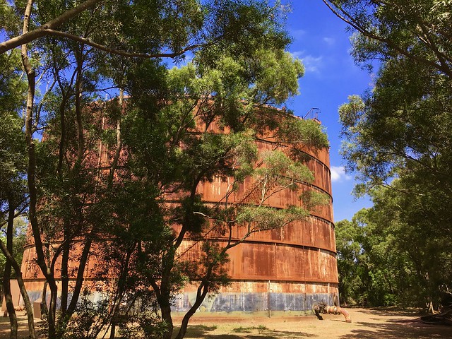
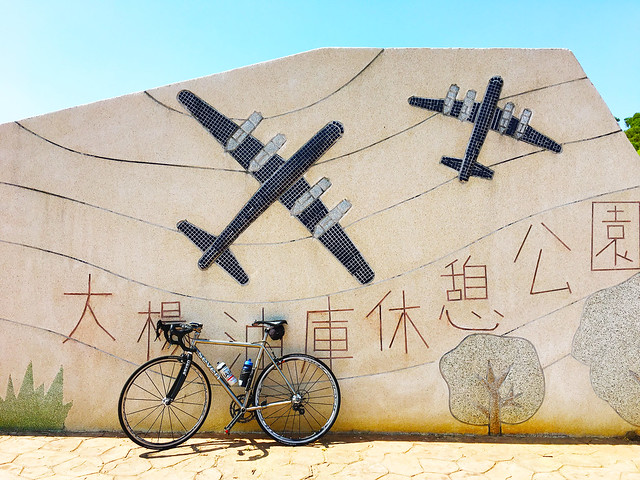
There in a lavish park--lavish by Taiwan hinterland standards anyway-- was the rusting hulk of a fuel container. It was one of seven containers built in 1966 as a fuel depot to service American B-52 bombers for their sorties over North Vietnam. The Americans would pump the fuel from the tiny Gaomei port and run it through pipes all the way to the top of the hill. I still have no idea how the negotiated the shallow mudflats.  There is now no remnant of the pipes, but this lone tank remains.
IMG_8984 IMG_8985
I soon dropped off the mountain along a snaking series of roads that cut through cemetery land and into some quiet gullies beneath the No. 3 Freeway. It is quite pleasant down there under the herds of weekenders off to someplace where they could be in a crowd.

IMG_8987 IMG_5687

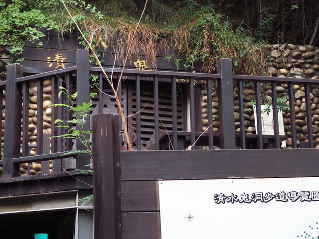
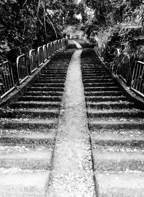
Just down the hill hear the Taichung Velodrome I passed an old munitions cave used by the Japanese to house explosives for the coastal defense network. Taiwanese labor would haul shells and supplies to the hilltops on a long concrete stairway with a smooth track in the middle for the supplies.
IMG_5694

I rolled further down the hill to the Niu Ma Tou cultural site is located. The Niu Ma Tou culture is a 4500-3500 year-old culture of the Taichung area. Pottery sherds were located during the excavation of the Japanese Shito Shrine in Qingshui. The site was later turned into a KMT era military base. After slow rolling through Qingshui I followed the old Coastal Defense Road through Shalu and Shuili She (水裡社).

The old village of Shuili She appears in the Dutch records as Bodor. The Village of Bodor was annihilated by the armies under the Ming loyalist, Cheng Cheng-gong during his war against the Qing. Only a handful of villagers escaped the Cheng forces alive.

I made a few more turns before retreating up the hill for home.

The ride was hardly any distance at all, and yet I covered over 400 years of "other people's wars". When I use this term I am making a direct reference to the way many Taiwanese have positioned the Taiwan experience as one of victimhood between the ambitions of greater powers.

I often recall seeing a group of Taiwanese Americans who put on a skit... and it is a skit I have seen multiple times in some form or another, in which the actors transform from indigenes to Han farmers under successive oppressive regimes. They always cast themselves as the victim. While in one way this can be true. This is a narrow and misleading narrative that fails to capture the nuance in which Taiwanese fall on both sides of the dichotomy between the oppressor and the oppressed. Taiwanese both suffered and benefitted from "other people's wars". Whether it was farmland opened from a genocide or colonization, infrastructure and paying jobs from the military, or as recently as when the US was carpet bombing North Vietnam, Taiwanese were happily enjoying the American military economy in Daya. When Taiwanese can accept their dual roles in history, greater gains in understanding between all peoples in Taiwan may take place.

Sunday, September 3, 2017

Back Roads: Nantou San Ceng Lane to Nantou Lane 12...I Think

IMG_4236

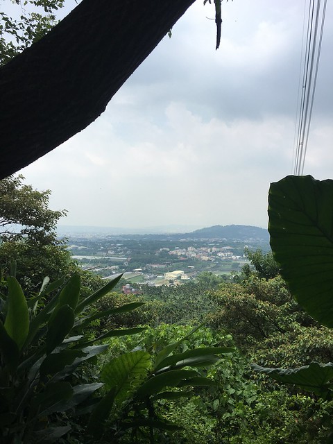
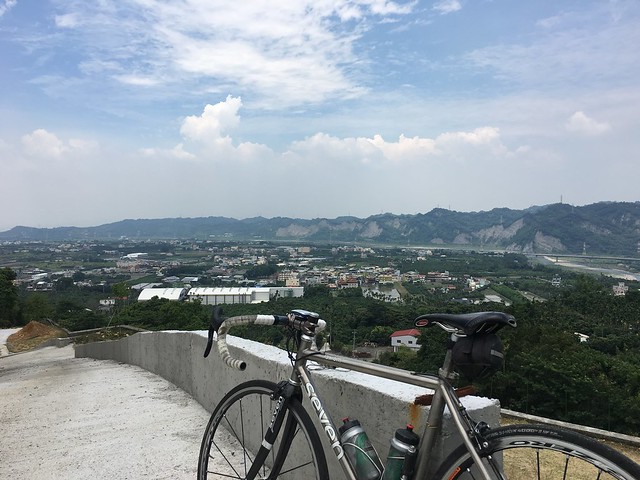
The hills of Nantou are alive with the sound of cyclists screaming down gnarly grades and I wanted to get in on the action. The area around Jiufen Er Shan is covered with small lanes and farming roads that can lead to euphoric adventures or a long day of grumbling in the saddle over humidity and climbs to no betel nut farm in particular.

IMG_4261

I chose San Ceng Lane (三層巷) to climb and then I thought I could explore the neighborhood or loop on to the Caotun side of the mountain and coast back on Nantou Route 14 a.k.a. Gukeng Ln. (股坑巷).

IMG_4264

A funny thing happened as I followed a tourist trap to the God Tree of Ping Ding (坪頂神木). I sat around with no real inspiration and then got bored and left. I was slow rolling down and passed a small road that disappeared from my periphery in a flash. Inspiration had suddenly struck and I was soon climbing back to the little road. It had a white sign that I think was marked the "12", but I can't recall. It all happened so fast.

IMG_4272 IMG_4281

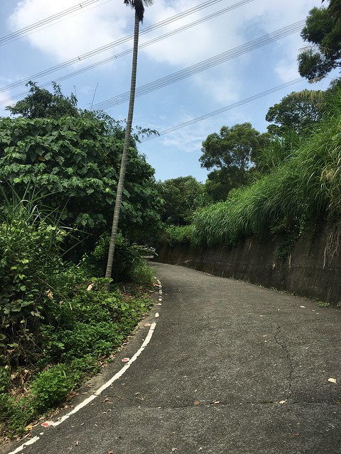
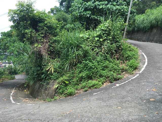
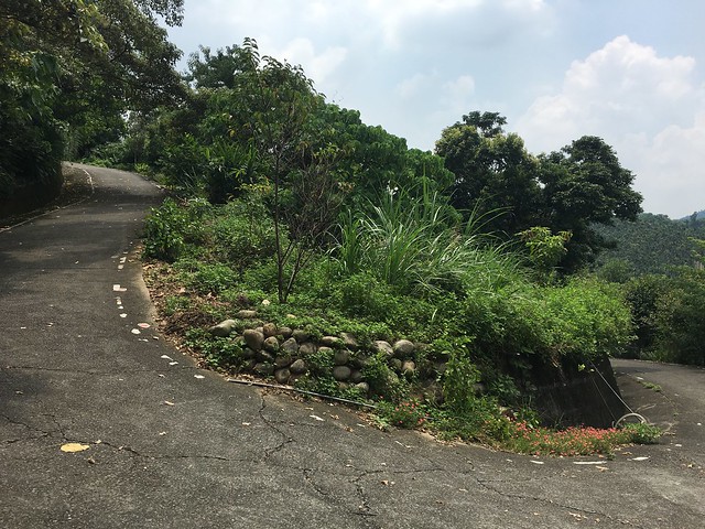
Soon  I was surfing some of the finest switchbacks in Nantou. I am not sure what the map shows, but this thing is nasty. A pretty road with some flowers and okay pavement... but NASTY!

IMG_4284 IMG_4287
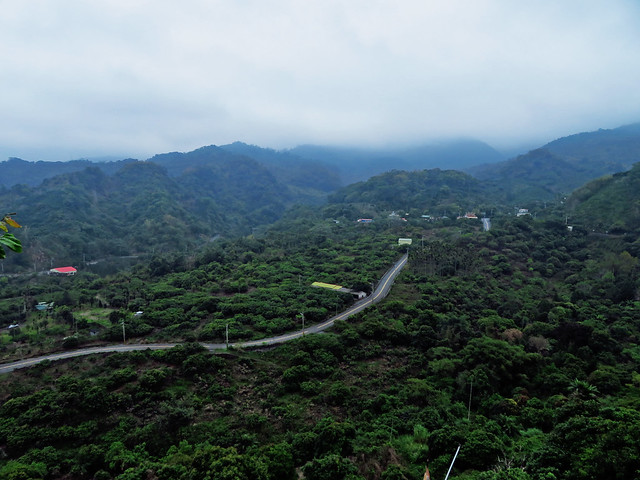
Eventually the road settles down into some smooth, shaded one-vehicle paths that are alive with the chirping of insects and the clatter of birds in the trees. It was all quite serene.
IMG_4291 IMG_4305

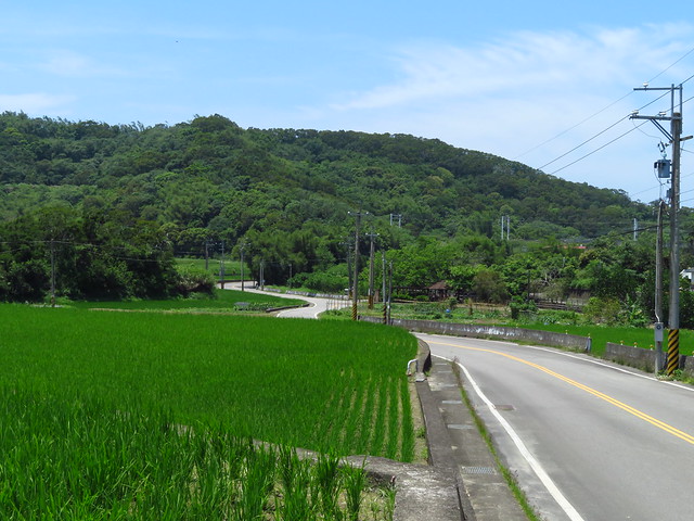
Eventually the road glides into some pretty agricultural area of the kind that is disappearing from Taiwan all too quickly.
This is definitely a road I would like to try biking in the opposite direction after a dry spell.
It just looked painfully delicious going down.

IMG_4306

Friday, September 1, 2017

Coffee and Tea Ride Through Namaxia

IMG_0708

A little while back, a small group of riders of varying degrees of experience and fitness hit the open road for a two day trip to Namaxia village in Kaohsiung. As many readers may recall, I did a similar route last year in a bid to make a long-time friend jealous enough to want to come back to Taiwan.

It worked. He arrived earlier this year and we hauled him out to Namaxia as a bit of a reintroduction to everything he was missing in a part of the United States where the hills and the landscape lack a certain...idiom. You can read about the first trip HERE.

IMG_0696

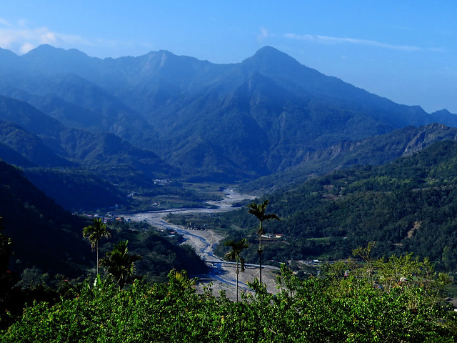
This time we made it southward along the hilly and beautiful "Tainan Coffee Road" that snakes southward in the foothills surrounding the reservoir district in Tainan. The first stretches were quite expected, but then the undulations of the hills gave the day a touch of surprise and excitement.

IMG_6873

After a few too many fuel stops, we waited for the slower guys and fought our way up river into Namaxia, making it into town as night fell. The whole cabin experience was not ideal, but it was firefly season and the college students were all on break looking for a romantic getaway chasing fireflies in the privacy of their hostel quarters.

On a quest for liquid carbs, I managed to see a lone firefly in the dark.

IMG_6882 IMG_0713

Bright and early we inhaled our breakfast sandwiches and made tracks for Chiayi...the hard way. One of our riders had destroyed a bike that was in need of destruction and had to pack his belongings and the carcass of an ex-bike into one of the few local busses and evacuate to Kaohsiung city. I was having trouble with a shifter grip and eventually ripped it to keep my shifts from sticking. Another rider had gone into one of Taichung's finest cycling shops--despite his 400 other bad experiences--and asked for an easier chainring with some kind of granny gear. The 185 Warehouse (oops, did I name names?) went the other direction and somehow installed a standard 53/36 front set and rendered our intrepid fellow incapable of coping with the climbs without blowing up his knees. He trudged on over the hill, but would exit just beyond.

IMG_0722

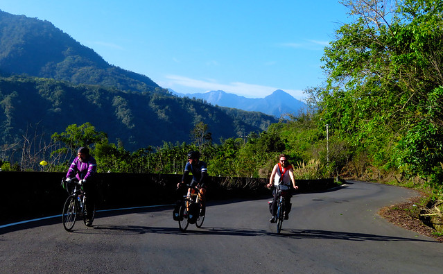
The roads are in amazing shape. The scenery is a dazzling palette of earth tones.

IMG_0732 IMG_0725 IMG_0742 IMG_0744 IMG_0751 IMG_0753

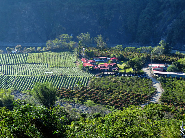
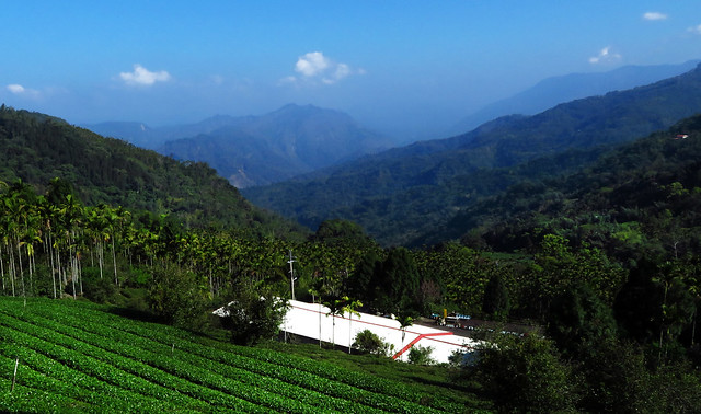
As we topped the lip of the highest ridge, we soon found a cool descent into tea country. The mountain is fittingly called 茶山, or "Tea Mountain". And while the area is in the greater Alishan area, it is not really what you would consider Alishan tea.

IMG_6899

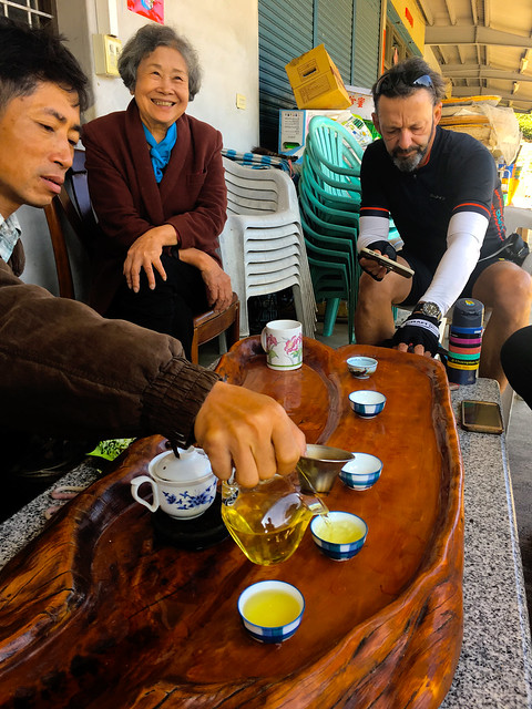
We stopped for the scenery and hoped to possibly get some caffeine as well. We were in luck as we sampled the locale tea and left with enough of a buzz to get us another kilometer down the road to where the coffee was.

IMG_6894 IMG_0762


 IMG_6901

It was a second breakfast where the bicycle made fruit, coffee and snacks all gratis. Nobody was complaining. We needed all the fuel we could find for the final leg.

IMG_0766 IMG_0768 IMG_0782

Michael left down the Highway 3, the rest of us plodded upward. For a main highway, it is still a beautiful road with challenging climbs that never seem to abate until the top. It is simply one gradient stacked atop another for several kilometers.

 IMG_0774 IMG_0777

Eventually we reached the concession stand at the peak and then launched a junk food crazed descent into Chiayi along the Highway 18 to put a cap on the trip.

This is a marvelous set of roads that are completely doable for most cyclists with enough time. The ride into Namaxia can be done by a novice, but an expert can still enjoy the road. Lots of possibilities in this area.

IMG_6904

Another post with a map can be found HERE.

Wednesday, August 30, 2017

The Shark of Messina Eyes the Highway to the Danger Zone: Taiwan KOM

Shark-of-Messina

I am sorry! I could not help myself.

When I heard the news that a current GC favorite in Vincenzo Nibali (The Shark of Messina), had registered for the Taiwan KOM race this October 20th, I was pleasantly shocked that our little local race has been attracting top shelf talent. First Pooley, then Cuddles and now Nibbles.

Nibali has won the three big grand tours and is a fierce competitor. It will be fun to see what this new level of talent will do to our backyard climb.

Bravo!

Saturday, August 26, 2017

Miaoli 34-2 to 28

IMG_0833

It would seem 130km is a long way to travel to knock off a couple of roads. It is. And as I plugged my way northward on the Highway 13 through Sanyi, I wondered if I had made more trouble for myself than it was worth.

The thing is, whenever I travel on the HSR, I look out and see a bunch of cool looking roads and struggle to find them on the GPS before the internet dies in but another tunnel.

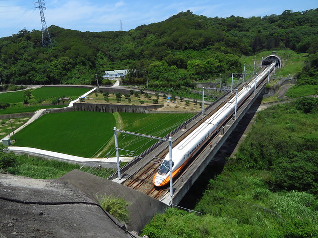
Just at the top of Miaoli are a series of HSR tunnels that flip through narrow valleys like an old zoetrope to flash an instant image of cycling of intrigue. I needed to find and ride those roads.

I have already attacked the ridge lines longitudinally, but there are still several roads that criss cross those hills I have yet to ride. I have since ticked several off my map. The Route 34-2 looked interesting along with the Route 28. I was on my way.

IMG_0794
I thought the Route 51-1 out of Houli would be a great start... and it was serene as usual.

IMG_0803

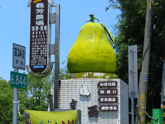
The 34-2 starts behind the Da Chien General Hospital (My map below is inaccurate at this point...sorry). You can pick it up just behind the parking area on the southern end of the hospital grounds.

IMG_0813
The descent is a lovely drop through fields and along twisty roads that pass beneath the HSR tracks.
When I got to the bottom I realized I had been to that spot several times on the Route 119. Personally, I prefer the Route 119 off the Highway 13 to get to this point.

IMG_0821

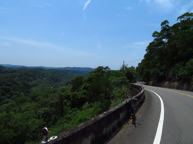
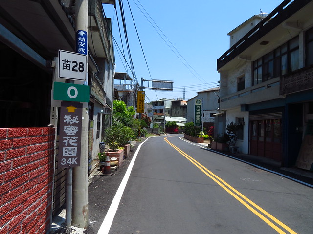
The Route 28 goes back up the hill above Miaoli City. It is one of those special littler roads that can feature as a satisfying leg to any adventure.

IMG_0847

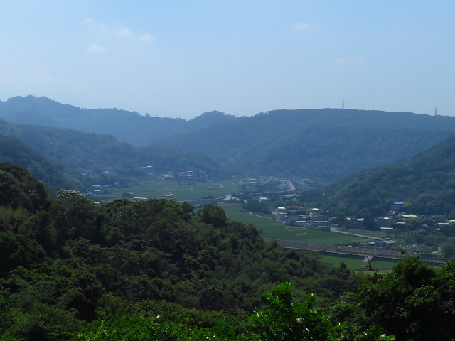
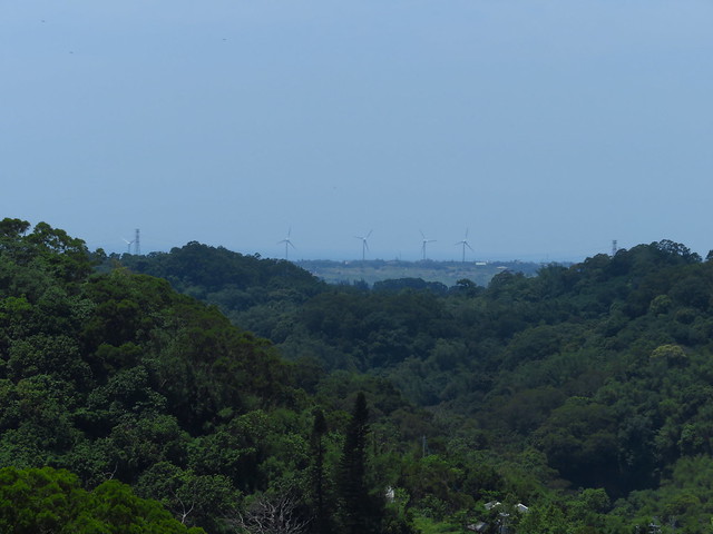
The climb is never too much, but offers lovely views of the surrounding forest and out to the coast.

IMG_0859

Moreover, the roads are smooth, sweeping swaths of unused pavement. The experience was really pleasant as I huffed away over a river valley...thinking of incorporating this into more demanding rides.

IMG_0867

After a strange trip through an old railway town, I popped out behind a cemetery over Miaoli City. The view made Miaoli City look almost not repulsive.

The Route 28 is a keeper. The 34-2... meh!

IMG_0868