body{background-attachment: fixed ! important; }

Monday, August 21, 2017

Back Roads: The CPC Industry Rd.

The Gas Road Strikes Again:

IMG_5843

I said I would never ride the "Gas Road" again. It had been an adventure and that was enough for me. I had successfully navigated the length of Taiwan's western ridge line from Xinchu to Taichung. Done. Curiosity had been sated.

Then I decided I had to show it off to a few people so they too could tick this little oddity off their maps of curiosity.

This time I was leading a small group of cyclists into one of those Bermuda Triangle spots on the mapping software where space aliens muck with the earth's electromagnetic filed and the GPS goes haywire. Fun!
IMG_5824

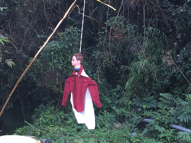
The first sight of a an effigy of a man hanging by his pretty white neck outside of Wenshui Village where the Highway 6 breaks from the Highway 3 to Gongguan looked to be a bad omen before we disappeared into the lost highway of Miaoli.
IMG_5827

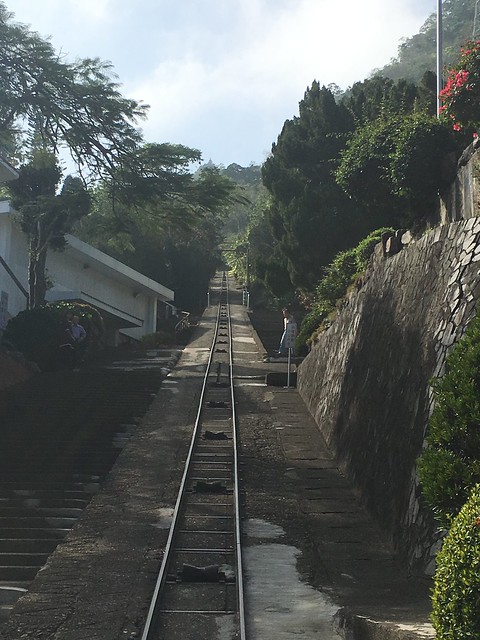
The CPC Industry Road starts behind the CPC petroleum works near the site of Taiwan's earliest oil wells dating back to the late 19th century. The Japanese colonial government exploited Taiwan's limited oil reserves and built extensive extraction and processing facilities nearby. The site is still in use today with 28,000 barrels of crude pumped from a longitudinal vein along Taiwan's western coast.
IMG_5834

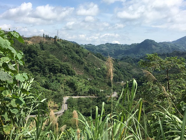
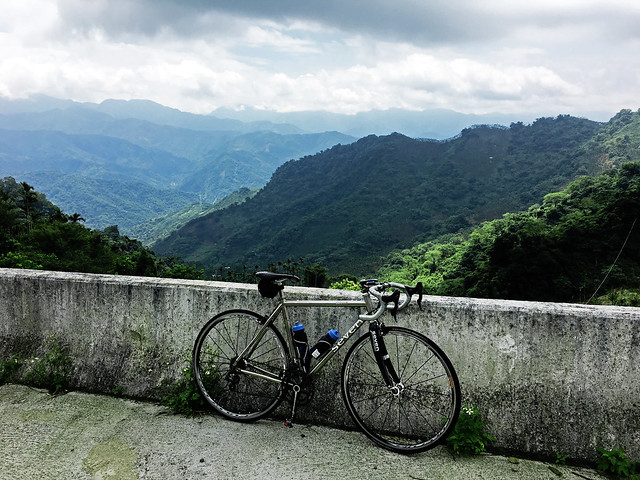
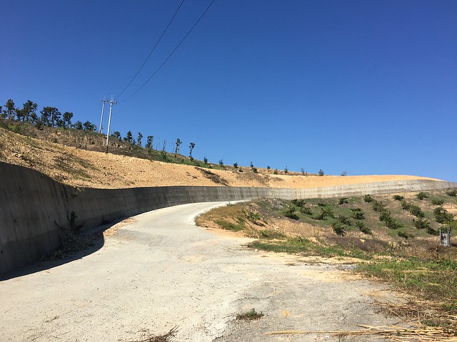
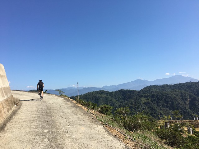
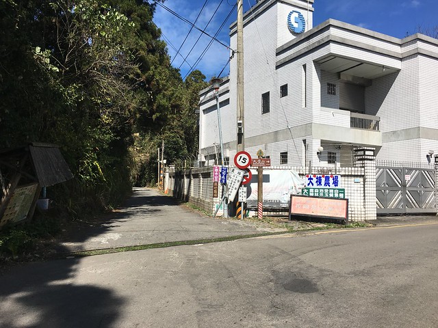
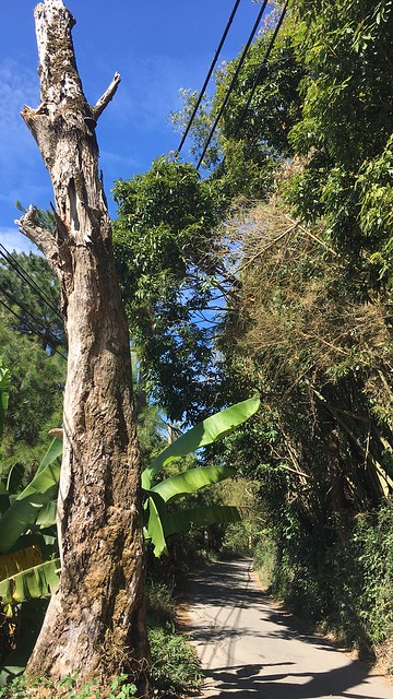
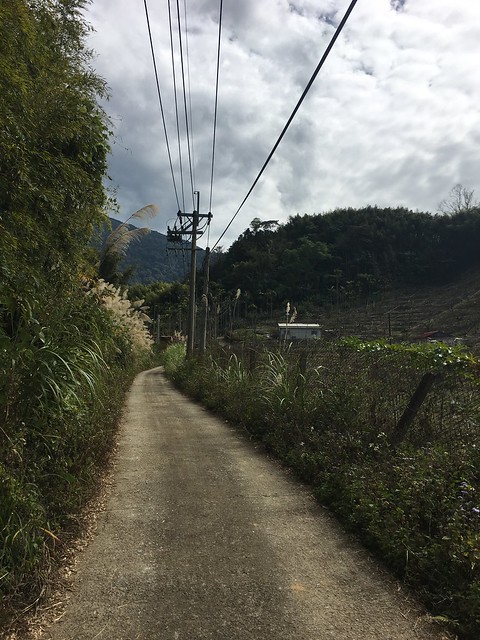
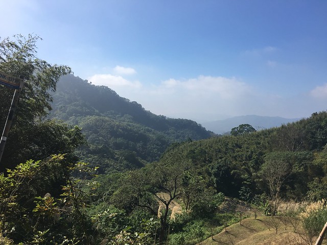
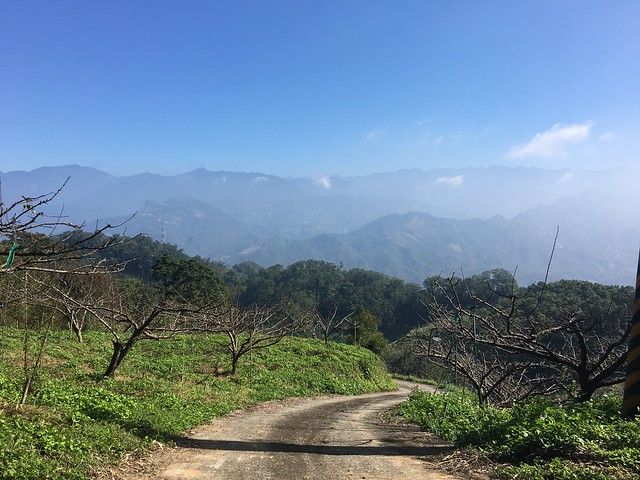
The climb is steady and steep in parts. There are few dwellings, though someone had build a large gated estate tucked behind the canopy of tall trees. It is eerily quiet as you ride past oil pumps high over Tongluo. The farming roads that cross the area are many and the hills are dotted with fruit farms.
IMG_5836

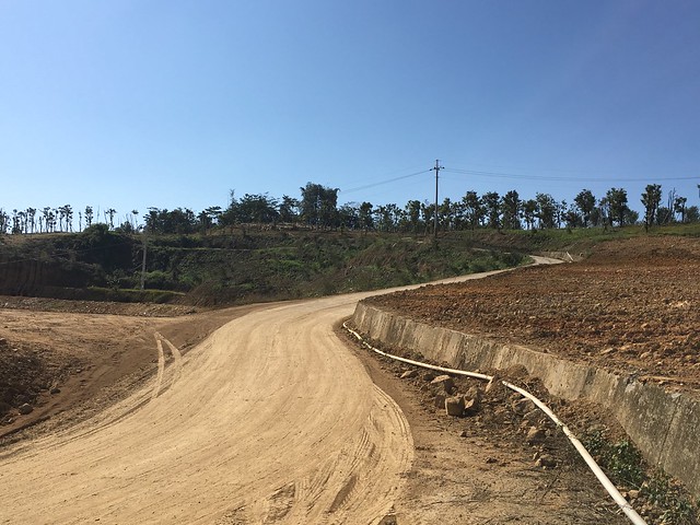
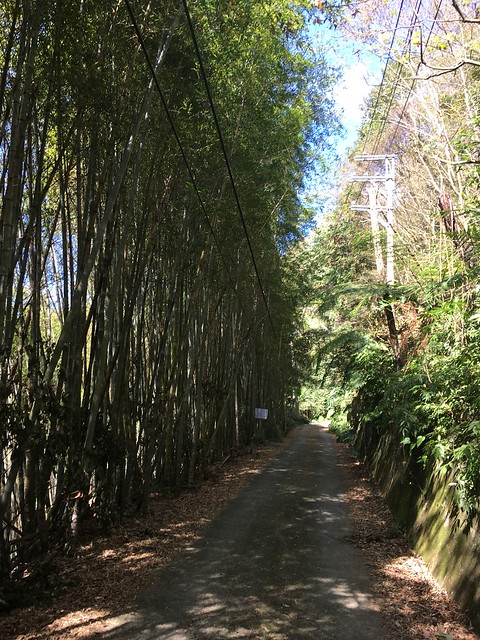
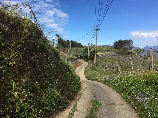
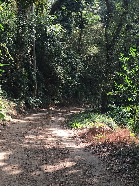
It is more than easy to take a wrong turn, and many of the surfaces are covered in dirt and debris.
IMG_5840

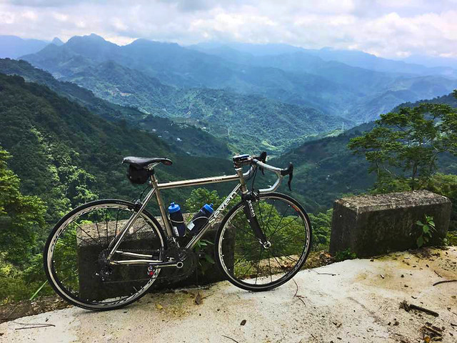
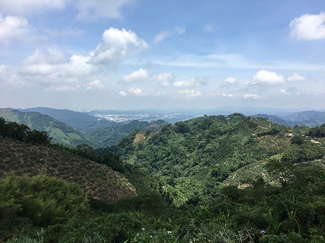
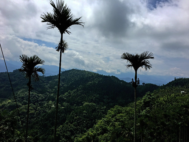
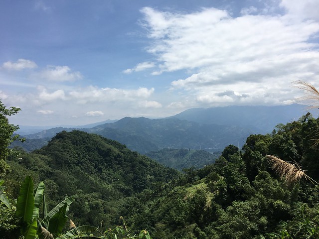
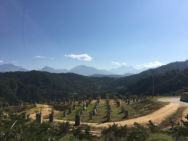
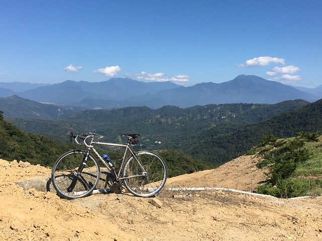
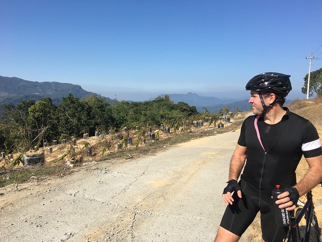
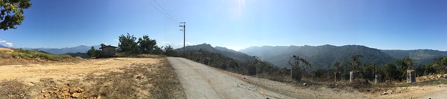
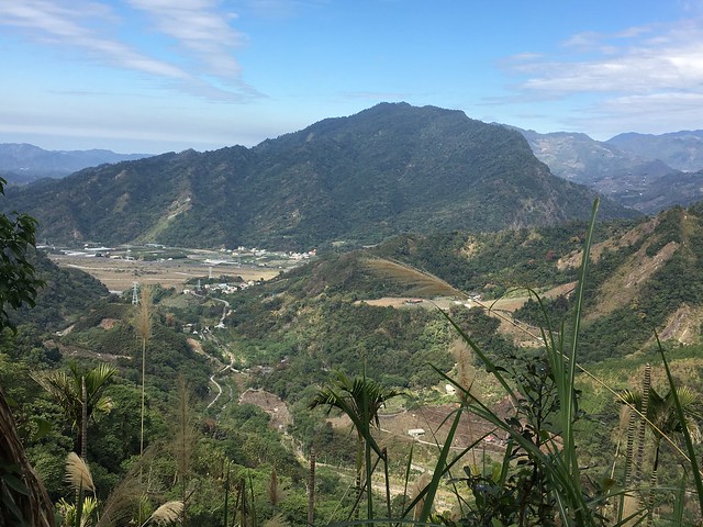
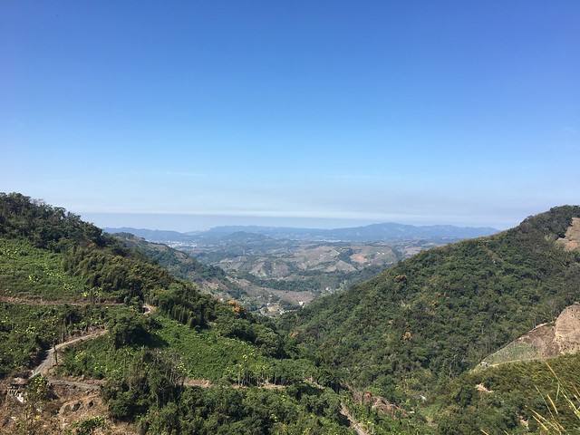
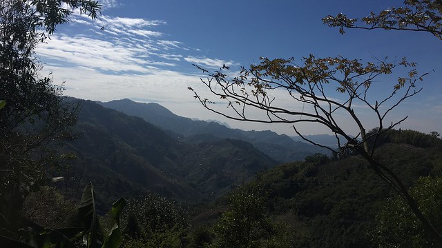
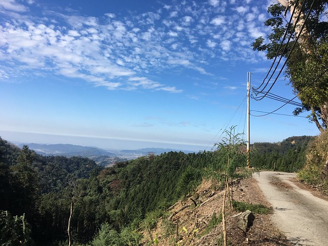
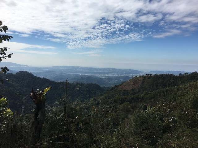
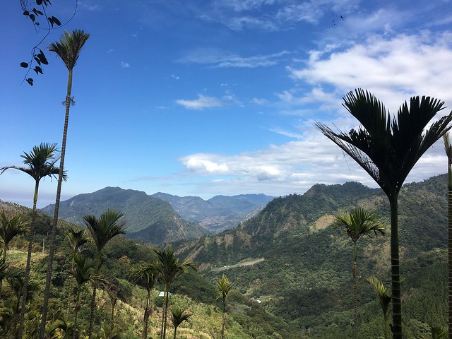
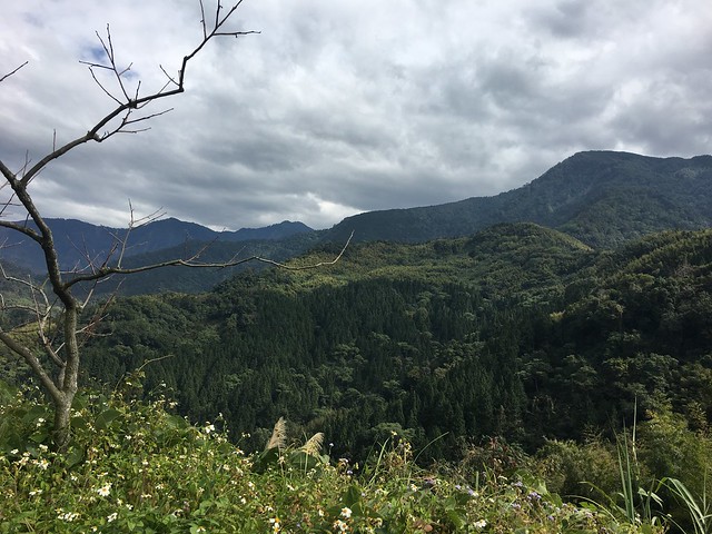
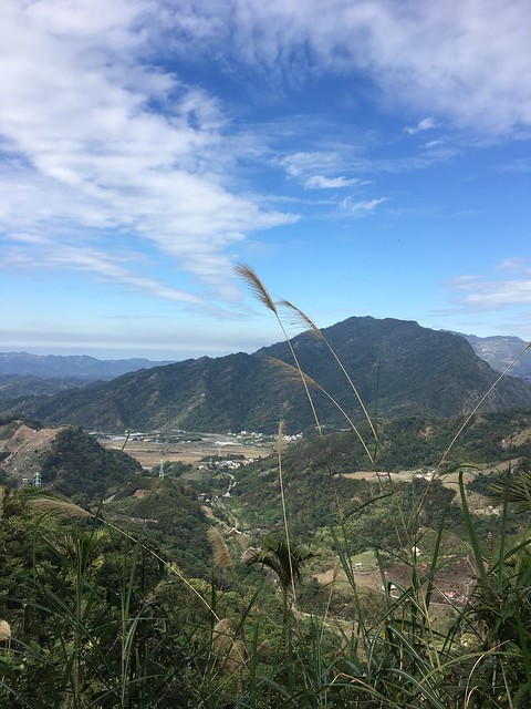
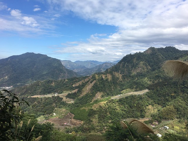
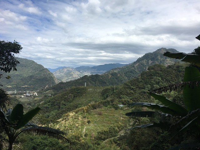
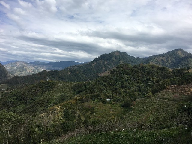
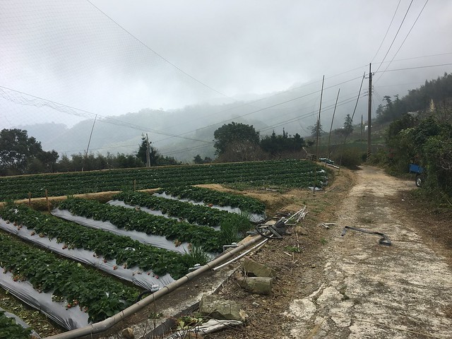
We emerged from the forest and into the misted farms above Dahu. The views are fantastic... when the clouds allow it.
IMG_5846

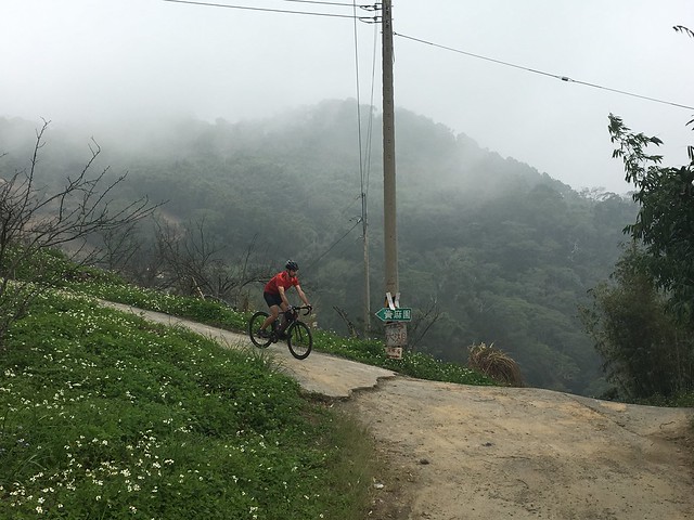
We eventually cruised down to meet the top of the Miaoli Route 60 that crosses the hill to join the Route 119 for home.
IMG_5850


Back Roads: Taichung Route 97

19399282_10154831546122972_4429269981895258003_n

It isn't always about how you start, but rather, how you finish. And that was the message of the day when we started out on the regular loop from Taichung to Guoxing and back.

The planned route was set for the Highway 21 and back on the not so difficult return along the Highway 3 through Wufeng Township. That was the plan.

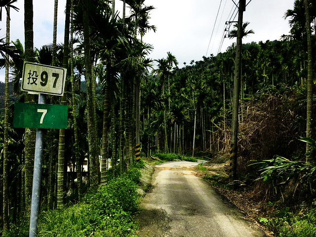
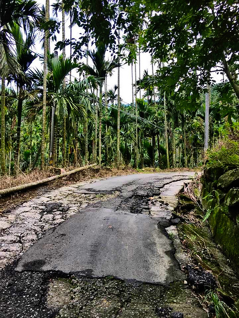
Instead, somewhere in conversation I got on the topic of the little used Route 97, which is little used for good reason. It is the old road from Dongshih to Guoxing before the Highway 21 was completed and has fallen into a state of disrepair on the Nantou side.
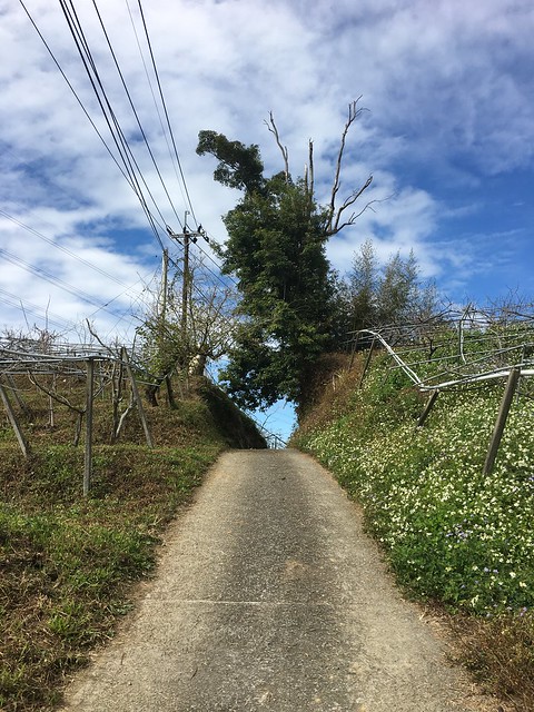
Naturally, we decided to roll the dice and see if conditions had improved.

IMG_7737

The initial ramps of the Route 97 start on the lower reaches of the Highway 21. There is a small sign to warn motor vehicles that it is not a through route, but other than that it just looks like a stretch of pavement that gets swallowed by the mountain.

IMG_7716

I hadn't been up the Route 97 in some time, and each time was in less than clear weather. The roads in parts were simply areas of chunky concrete with generous helpings of mud.

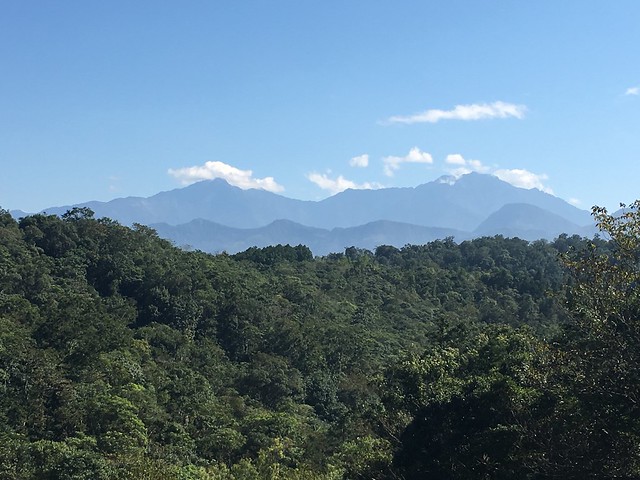
Today the views were stunning.

IMG_7717

The climb is quite a bit steeper than the Highway 21, with nary a human sound to interrupt the sound of your own labored breathing. The overgrown jungle along the road offers a bath of shade as consolation for the sustained gradients, and the roadway is still quite smooth.

IMG_7721

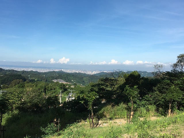
In the breaks between vegetation, the landscape washes over pockets of white buildings in the distance and reveals a green oasis over the dust of Taichung and its far flung townships.

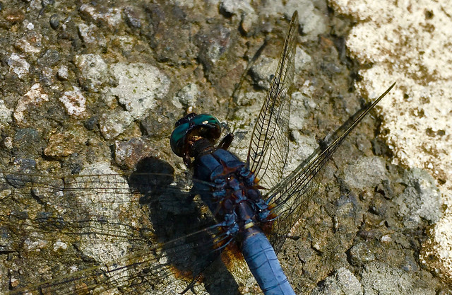
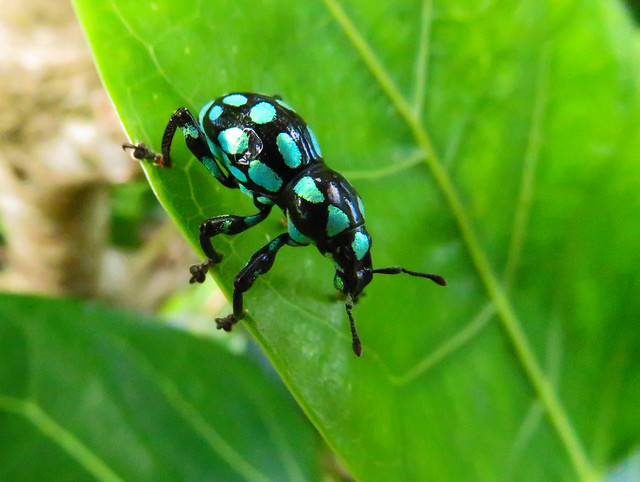
IMG_7722 Bug IMG_7735

The summit sits about 320m above the Highway 21, which can be spotted between the trees below. The foothills of Taichung push up against the Central Mountain Range in the distance and make for fantastic views.

IMG_7739 19399312_10154831546212972_1781839004042296878_n

The descent was better this time around, but it is not easy. There are several technical sections and it can be very easy to take the wrong road. The single lane rips through sparse farms in betel nut country for an exciting downhill filled with excitement before cleaning up for a reintroduction to civilization in Guixing.

This is by no means the regular route to Guoxing... but if you trust your equipment and your cycling skills, it makes for a little variation on an otherwise routine route.

19399383_10154831546277972_9218981559161374120_n

Sunday, August 20, 2017

Back Roads: Hualong Lane

IMG_5604

Of all the small roads in central Taiwan, the Hualong Lane (華龍巷) in Nantou is one of the strangest strips of road I may never ride again.

IMG_5564

The ride starts off well enough on a forested climb off the Nantou Route 131 from Shuili. The Route 64 is a super little route to traverse the hills near Sun Moon Lake to Shuili. Just near the peak of the climb is a small lane that disappears into the wilds, but shows a connection to the marvelous alternate to the Highway 14 in the Nantou Route 68.

IMG_5573

Some workmen we met at the base of the first descent gave us some advice to take the high road on the left rather than the obvious choice on the right. We decided to heed local knowledge and make the climb.

IMG_5575

It turned into some serious ramps in the open sunshine  past tree farms of dubious distinction. Things seemed okay, but then the views started.

IMG_5581 IMG_5583

The top revealed a dirty section of road, but a full 360 degree vantage point to appreciate the entire Puli basin and its surrounding peaks. We found we were on the ridge that runs parallel high above the Nan tou Route 147. Everything was in sight. It was such a rare vantage point that we stayed to soak it in.

IMG_5588

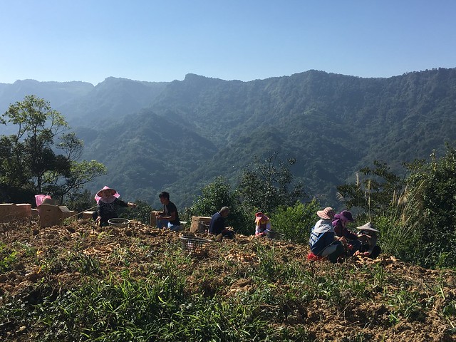
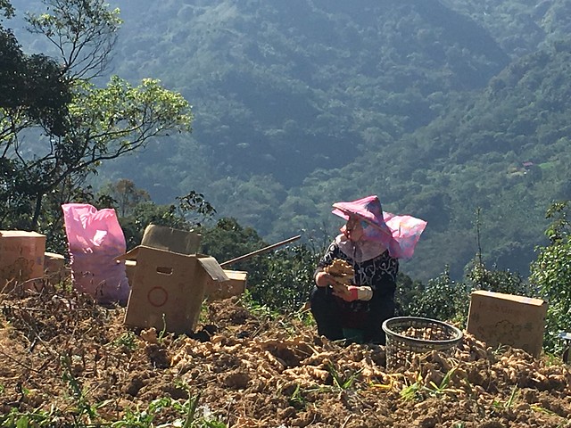
We briefly interrupted the singing of a group of Atayal ginger pickers who seemed delighted to break up the morning by exchanging jokes with us.

IMG_5593 IMG_5596 IMG_5602

The fun ended at a dusty descent that led us speeding off the mountain and into the high-walled courtyard of a farming compound...with its high gate sealed shut and full of barking dogs.

I really didn't want to hike back up that hill, so I bothered the owner to open the gate and let us out. I still have no idea if there could have been an alternate route outside of private property.
The road emptied us out along the Route 68 near the old tree (You'll know it when you see it) and we decided to call it a day for our little adventure.

IMG_5605

Back Roads: Off Snow Mountain


IMG_6343


IMG_6309

Somewhere around the 14km marker on Xue Shan Rd (雪山路) there is a tiny lane that splits off along side the Changhua Telecom building. I have passed this road numerous times and always wondered about veering off to give it a shot. The usual reasons had always prevented me from doing that route; time...purpose...fuel...water...legs.....

I was out of excuses and figured I would give it a try. Honestly, my greatest fear is that I would be hiking my bike on impossible grades in the heat, without a clear path to civilization. This is a real fear in some parts of Taiwan. Everything may look dandy on a map, but become a totally different can of worms in the field.

I also liked the risk.

IMG_6314

I completed the lower sections of lazy mountain switchbacks through the dazzling greens where the fruit orchards meet the forest. I always love the Daxue Shan Rd. for its open views across the Dajia River and alluvial plain. Local spaces that I know as shadowy clumps of concrete shops and townhouses shrink into the landscape. On a clear day Taichung and its surroundings can be seen from the southern side of the mountain. You can even look out into the Taiwan Strait.

The usual route is to keep climbing to the end of the road as the neighborhood practice climb for Wuling Pass or Alishan.

This route has a bit of a different character.

IMG_6315

The immediate departure from the main road immediately offers up the goods on a slight descent. The area is shaded by tall trees of the forest that offer sanctuary for wildlife. I almost ran over a pheasant within the first 100m of roadway.

IMG_6316

While the roads are not glass smooth, they are not unridable. There is an ultimate sense of quiet. I believe I did not see a car for over an hour of riding.

IMG_6319

The road flattens out along cedar lined slopes over Dajia. There are a couple campgrounds along the way and a leisure farm at the end of one spur from the main road, so keep left when you come to an intersection.

IMG_6322

This road feels like a portal into another world. One could easily imagine being on a lonely road deep in the forest of some other country. It is hard to believe you are still in Taiwan.

IMG_6324


After a couple more kilometers through

IMG_6327 IMG_6330 IMG_6333 IMG_6335 IMG_6337 IMG_6339 IMG_6340

The farm areas open up the northern slope of the mountain and reveal the full spectrum of central Taiwanese landscapes. The entire ride provides a 300 degree sweep of the areas below Daxue Shan from Taichung to Dahu and out into the mountains.

IMG_6341 IMG_6344 IMG_6347

Most of the ride is perfectly fine for staying on the bike. Even a road bike can handle the terrain just fine.

The only part that poses a problem is the final descent. I found it to be mostly unrideable. the gradients were simply too steep for too long to feel safe. A short hike and I was back in a rideable location that eventually links to the high point of  the Route 47 (東崎街). The rest is a marvelous ride back to Dongshih for a satisfying day of riding without giving up the entire day. It offers a feeling of having stepped out of normal expectations for a brief vacation in an entirely different place before returning--a get away.

IMG_6349

Wednesday, May 17, 2017