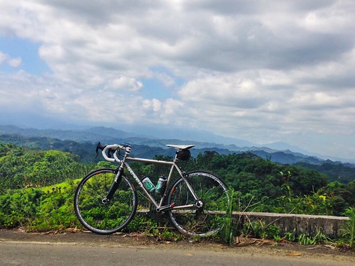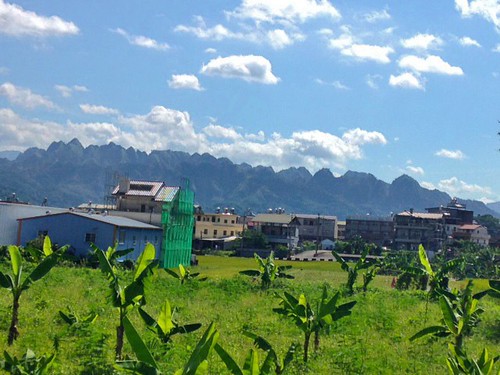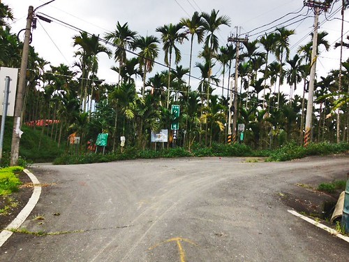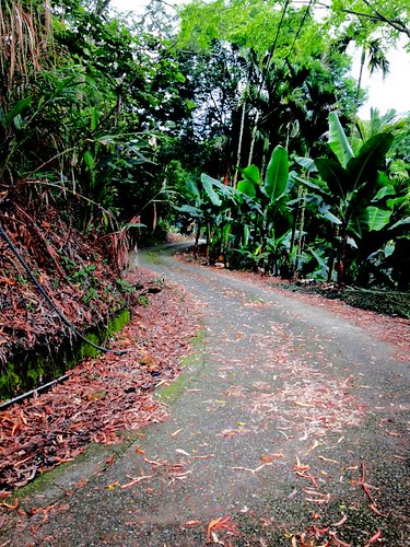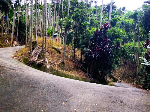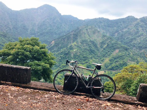
Whenever I get requests for advice on a round-island bike trip, I always make the strong recommendation that the rider, if at all possible, take the time to cycle Lanyu, also known as Orchid Island. I shout it to the heavens. I shout it off the mountains... "Go cycle Lanyu!"
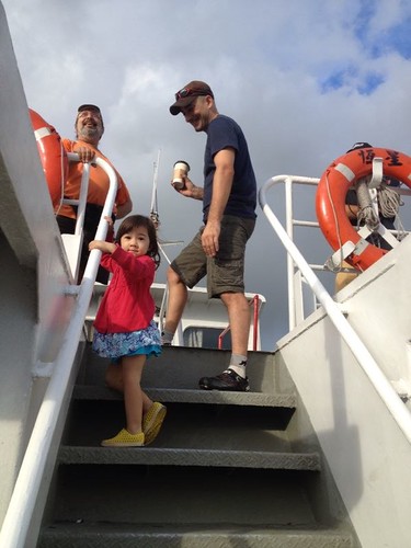
To date I don't know of a single person who has taken me up on my advice. I hear all kinds of reasons for skipping it, but rarely do I hear any convincing ones. Therefore, I thought I should use a few days of my summer vacation to do a post on cycling Lanyu and show everyone what they've been missing. Now, I may be a little biased. I have been visiting Lanyu on a regular basis since 1998, and my experiences on the island during that time have come to signify the pinnacle of my youth before the slow, inevitable slide into middle age and all the trappings that come with. Part of the attraction is in the natural beauty of the island. It is impossible to take a bad picture on Lanyu. The other part is in the friendships I have made with several of the locals who have not only been instrumental in how I experience Lanyu, but also in how I experience Taiwan.
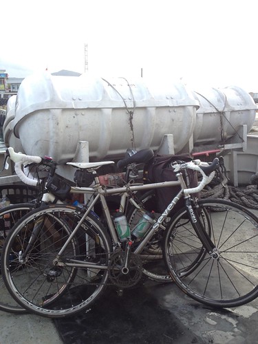
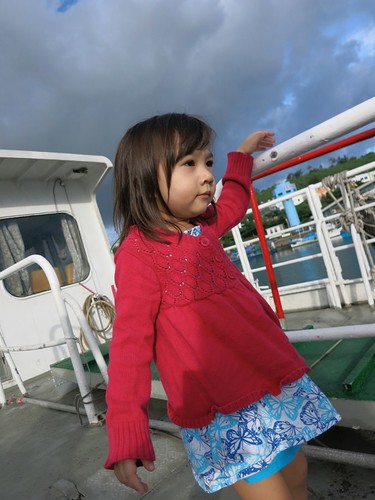
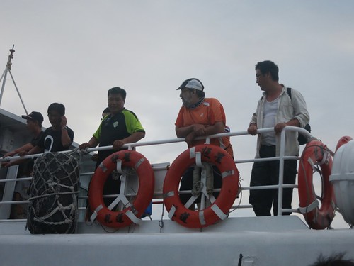
We boarded the ferry in Maubitou, near Kenting. This is a great way for those of us on the western side of Taiwan to make the trip without having to endure the extra travel time to Taidong for the plane.
The bikes cost NT100 to put on the boat, and the trip takes just over two hours.
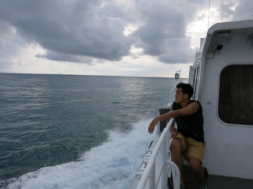
Ferry trips around Taiwan are notoriously choppy. For twenty minutes the inexperienced passengers will whoop and holler with every dip and rise in the trough of the swell.
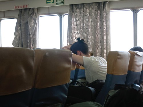
Before long it looks like everyone in the cabin is carrying take-out orders of soup... if they even make it to the plastic bags.
We entertained ourselves with musings of breakfasts in color combinations that might delight and horrify our fellow passengers.
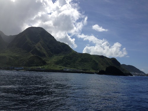
After bumping and rolling our way toward the tiny green islet of Lanyu, the peaks above the harbor came into view. Lanyu is an island of high cliffs surrounded with only the tiniest skirt of land that the local Tao'o people have clung to for as long as 4000 years.
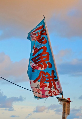
Our ride picked us up, bikes and all, and we were soon bumping down the road toward Imorod Village (紅頭村).
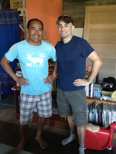
At Imorod I went out to find my old friend Lefga. I remember when he was sketching out his plans to construct a hostel, and I remember when he was working on the construction, but now it was complete. Lefga and his wife, 小q, are the proprietors of Meni's Place. You can see from the pictures below what kind of comfort guests can enjoy during their stay on Lanyu.
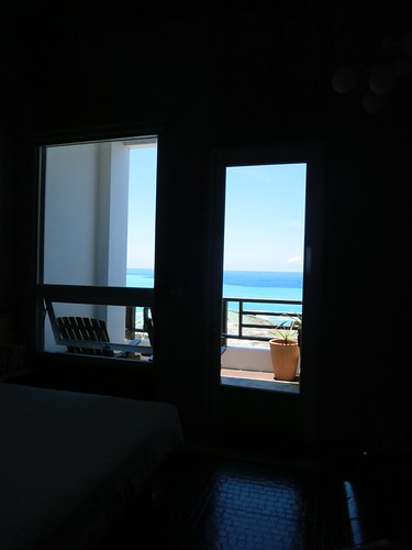
Unfortunately, we couldn't nail down our plans in time to get a reservation and had to stay at the Lanyu Hostel. Let's not talk about that now and pretend we had stayed at Meni's Place.
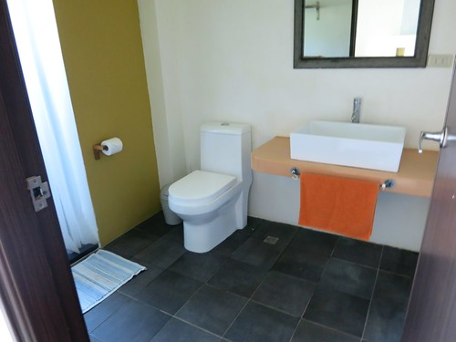
When I first visited Lanyu there was really nothing in the way of lodging or food. There were two restaurants and a general store in Imorod. Now there are home stays, bars and cafes that are locally owned, but staffed by young Taiwanese who are seeking some adventure during their working holiday.
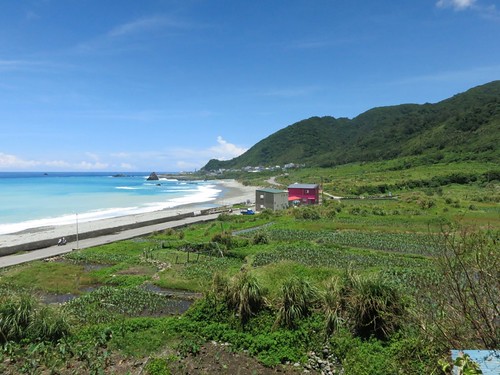
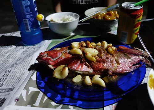
After a cheerful reunion with Lefga, we sought out some more old friends, who retreated us to freshly caught fish for dinner. It was amazing.
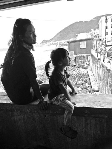
After fish and a few beers, it was time to get some sleep before biking around the island.
Biking Lanyu:
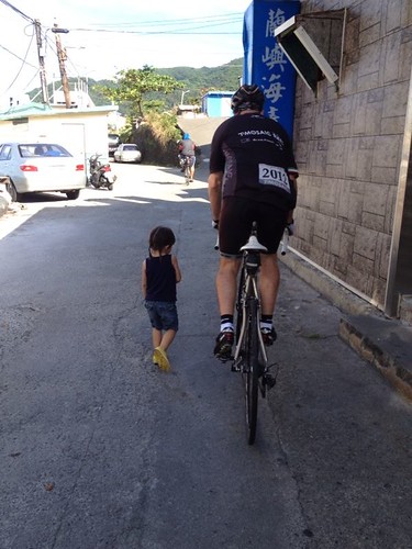
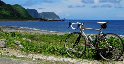
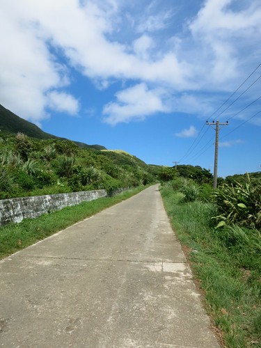
Michael and I suited up for the heat and rolled out onto the narrow strip of neglected concrete sections that make up the round-island road.
I recommend lowering your tire pressure just a little bit as the road can be bumpy and uneven.
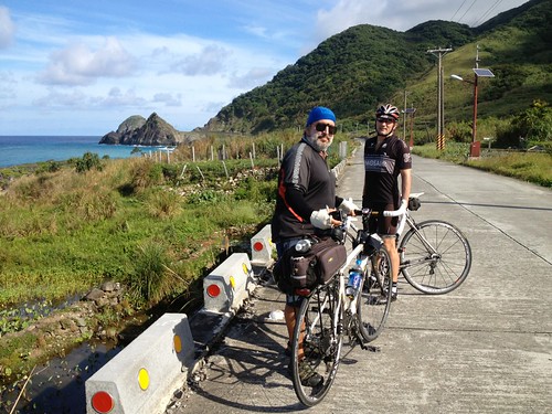
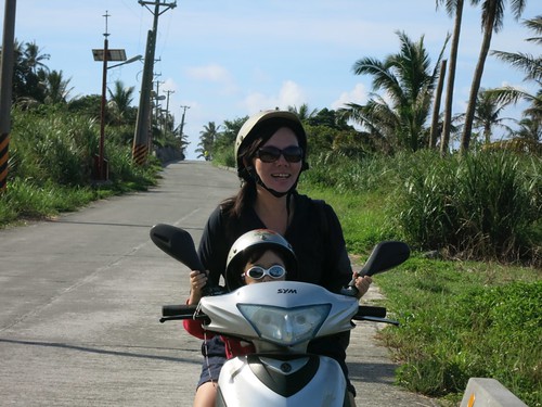
My wife and daughter would be chasing us as a support vehicle for the day. They would come and go as we softly pedalled between oooohs and aaaaaahs.
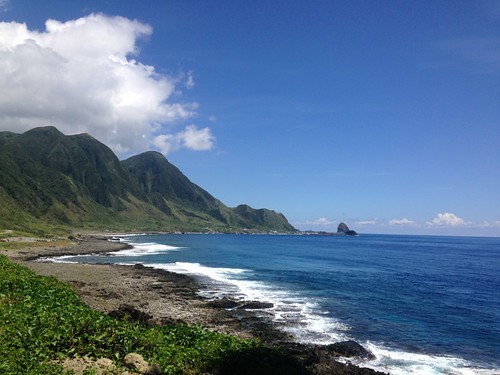
Someone asked how long it took to ride the 38km around the island, and I could only estimate that it might be about an hour, but it would probably take all day as there is a photo hiding around every bend in the road.
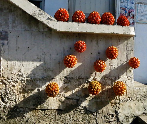
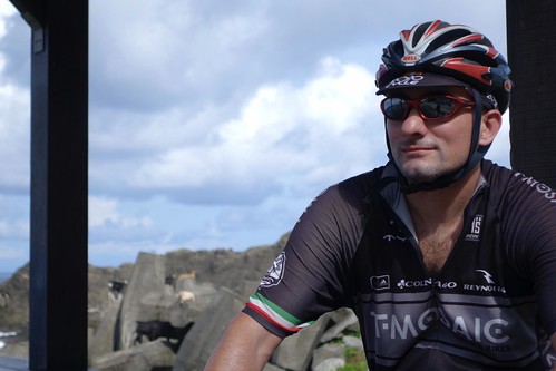
My first task for the day was to climb a series of switchbacks to the lighthouse on the westernmost peak.
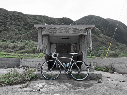
I started at a small shrine that had been destroyed by locals in their conflict with the Kuomintang soldiers who had been garrisoned on the island.
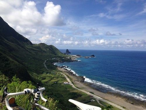
The climb is rapid and rewarding. Each turn offers a higher and more impressive view of the coastline.
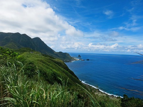
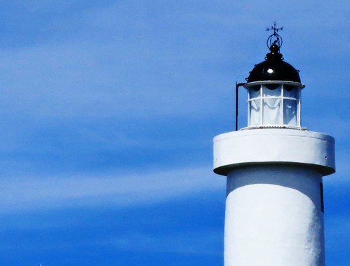
I soon made it to the lighthouse and stopped to soak in the scene.
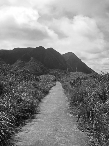
We continued to breeze along with only the occasional passing scooter train of a snorkelling expedition to keep our focus on the road.
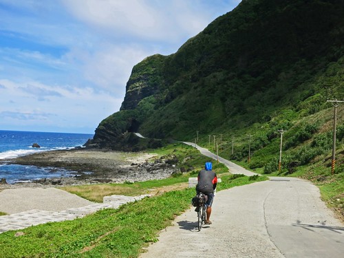
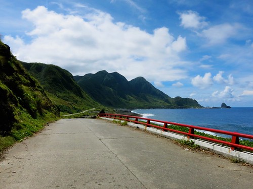
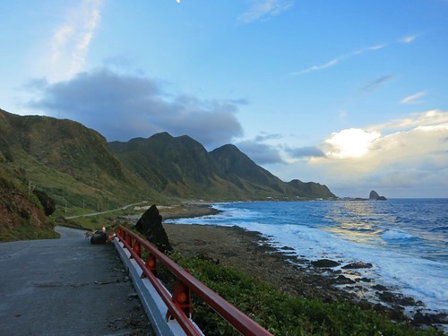
The road slips through an eyelet in the cliffs above and cuts a hard right along a coral crusted embankment and the foam covered waters below.
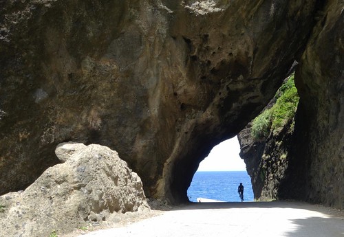
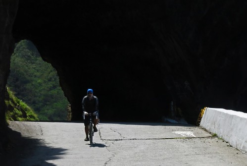
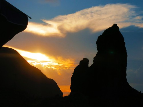
Lanyu is littered with prominent rock formations that had played leading roles in local Tao'o place names and in their identification with the geography of the island.
As the soldiers left the island in 1979, the Taidong government gave the natural rock sculptures new, sinocentric names to appeal to Taiwanese tourists.
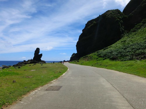
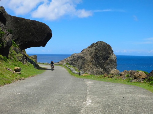
One more corner reveals a massive rocky edifice that sits like a gigantic brick in the middle of the landscape. The road appears to smash directly into its vertical face.
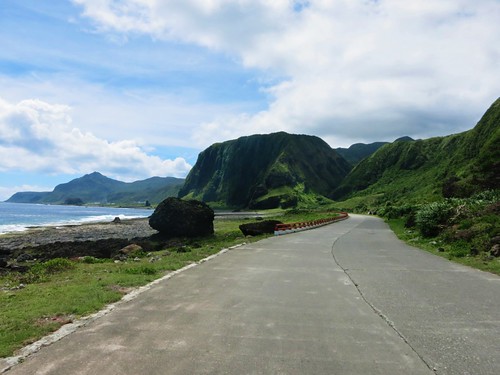
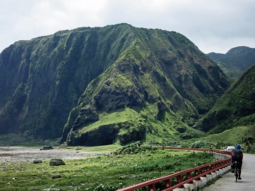
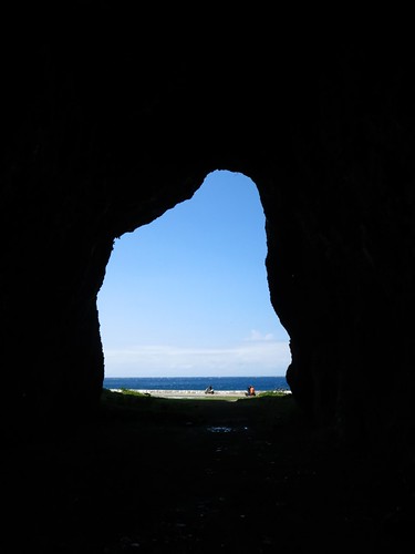
At the last moment the road skirts past the wall and reveals a set of cathedral-like caves etched into the rock.
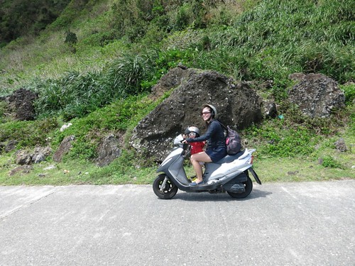
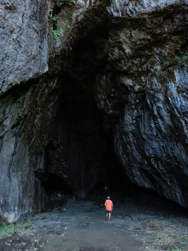
The Tao'o have a legend that the caves were once home to large snakes. They have since been transformed into Christian sites as many Tao'o have converted to Christianity, although one local friend surmises that it is mostly a conversion based on facilitating the western practice of the sewing circle.
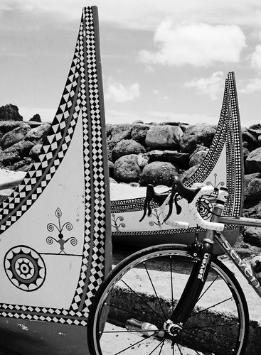
We passed through Iraraley Village, where some traditional wood-plank boats were prepped and ready to sail.
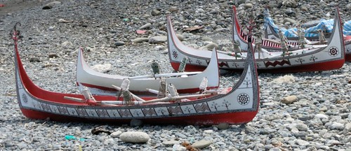
The Tao'o fishing canoe may have its roots in the sailing vessels that took ancient Austronesians across the great expanses of the Pacific.
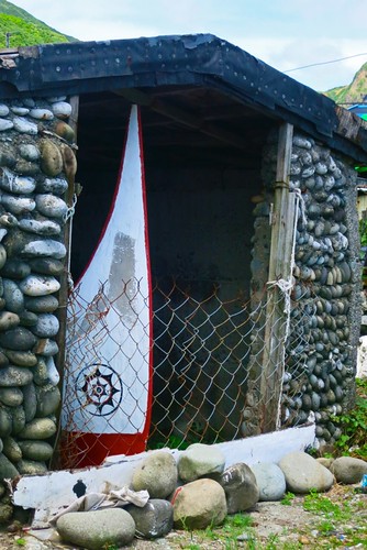
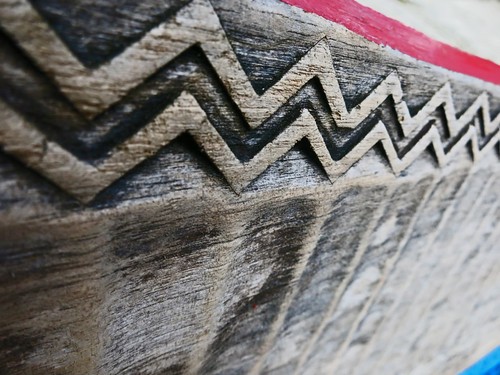
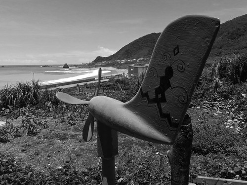
The boats are constructed using specially fitted planks that are fastened with lugs and covered in a lime based paint. The symbols carved into the boats depict the first man and the eye of the boat.
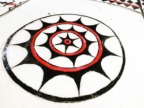
The Tao'o canoe is still a fixture in village life as it is one ingredient in the establishment of the family unit. It has also, more recently, become a symbolic representation of the Tao'o identity in the face of successive and overlapping civilizing projects.
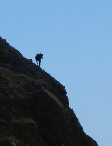
Lanyu is an island where there must be a dozen goats for every resident. They can be found basking in the sun in the middle of the road, perched atop abandoned buildings, or balanced upon a pebble at the top of an impossible rock face.
On the other side of the bay there is an abandoned Kuomintang era garrison. One of the more tragic episodes in Lanyu's experience was the use of the island as a repository for the worst elements in the Kuomintang military.
Lanyu doubled as both a garrison and a prison for the most unsavory servicemen. The soldiers cleared traditional lands, engaged in deforestation of large swaths of jungle, they harassed the locals and introduced alien species of plants and animals to the delicate island ecosystem.
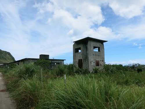
The sad irony is that some of these soldiers who lived and worked on collective farms to fuel their sacred goal of fighting communists... stayed and were given control over the most vital and lucrative positions in the local economy.
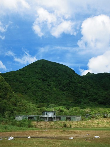
Just past the garrison there is another hill. Be sure to take the road that goes off toward the ocean near the concrete barriers. It leads to a hidden cove.
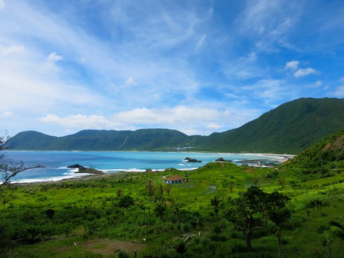
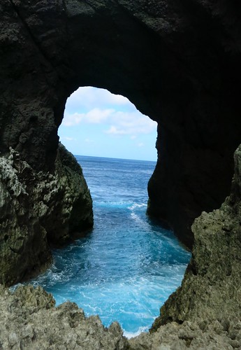
The water surges through a keyhole opening in the rock and makes for an awesome sight. There is also a sliver of an opening in the rock that opens up into a cave. If you follow the cave, you will emerge on the other side in a moonscape of coral and volcanic rock.
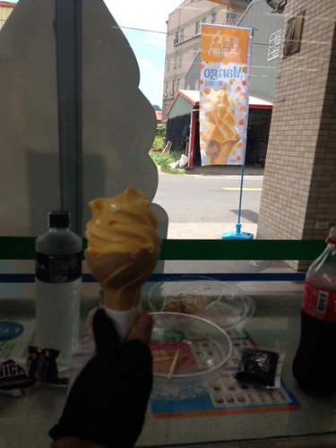
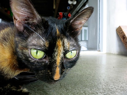
The next village is Iranumelik. Please stop in at this little cafe with the 20 cats inside. They make the best mango slushies on the planet.
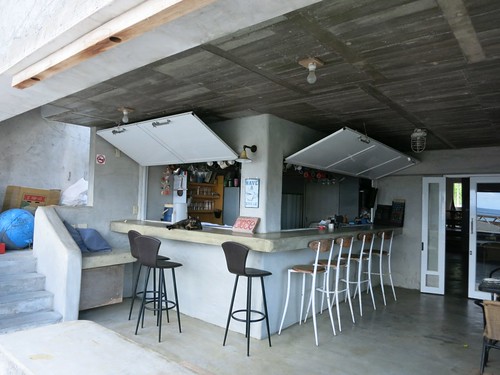
I was "forced" to get a mango slushie when a seam in the road gave me a pinch flat. I can think of a few worse places to get stranded with a flat tire.
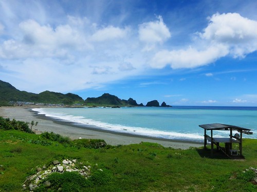
I fixed my tire and found Michael again after we had become separated. We were soon back on the road toward Ivarino Village-- home to the largest community of traditional Tao'o homes.
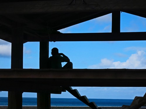
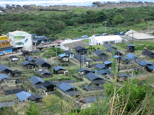
The traditional Tao'o home is semi-subterranean structure that is layered for functionality. The workshop is at the top, with the kitchen below and sleeping quarters in the coolness at the base. The buildings are well ventilated and employ a complex system of drainage. The low-slung homes are typhoon resistant, clean and comfortable on the inside.
During the 1960's and 1970's, Taiwan's government tried to force the Tao'o to move into modern concrete homes with little regard for the traditional function on a Tao'o house. The result was a complete failure as many of the concrete buildings were abandoned and left to decay or turned into goat shelters.
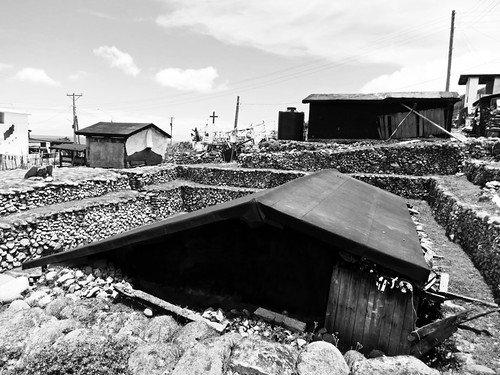
Now, most Tao'o live in concrete houses. The difference is that the houses are of their own design and often reflect the individual tastes of the builder.
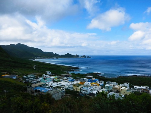
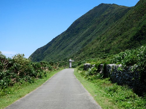
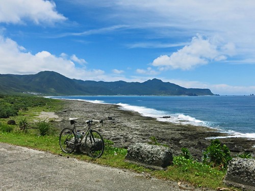
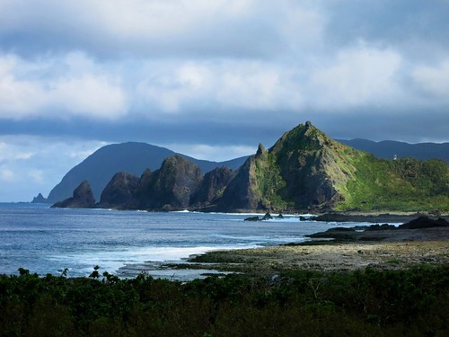
The eastern tip of the island is a little more barren and rocky. It bears little resemblance to the lush jungles of the other parts of the island.
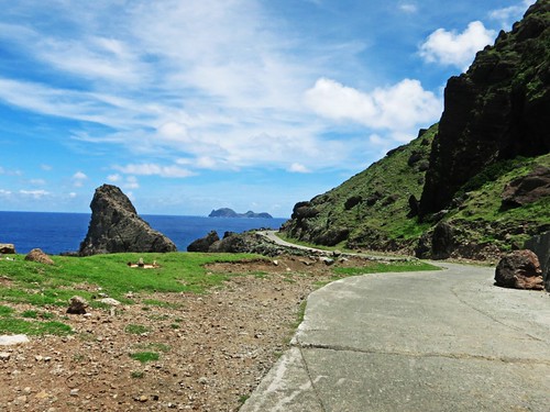
Imposing volcanic pillars jut out of the hillsides as the road swerves around every obstacle in its path.
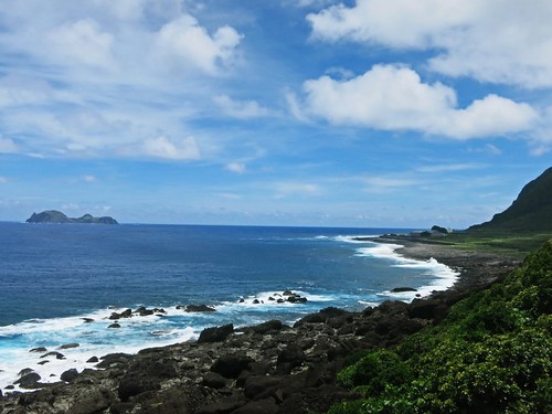
Just as you enter the southern side of Lanyu, Little Lanyu comes into view. The mysterious little island once served for artillery practice and is littered with unexploded shells.
The other feature that stands out is the storage facility for low and medium grade nuclear waste generated from Taiwan's three operational nuclear facilities.
The site stores approximately 100,000 barrels of radioactive material within 50 meters of the Imorod fishing fields.
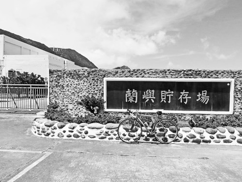
The facility was constructed in the 1980's in the guise of a cannery. The government felt Lanyu would be an ideal location for the waste as it would require minimal initial infrastructure and they felt the locals wouldn't know enough to care.

As one Tao'o friend one put it, "We Tao'o people are very independent. We don't really get into other people's business and we don't agree on anything. The one thing we agree on is that we don't want nuclear waste on our island."
The Tao'o have been fighting the waste for decades and have seen promises come and go. Tai Power, Taiwan's energy utility, has tried to placate the locals with cash, but the issue has not gone away. President Chen Shui-bian famously promised to have the waste removed during his presidency, but the waste remains.
When I first visited the site, Tai Power had the sick idea to pain Disney characters on the front wall to show the locals that the nuclear waste was harmless.
At least they got rid of that mural.
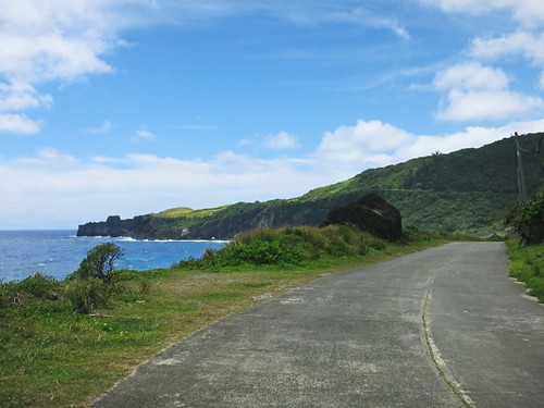
Just beyond the nuclear site is the hardest hill of the day. It climbs up about 25 meters to a large grassy field.
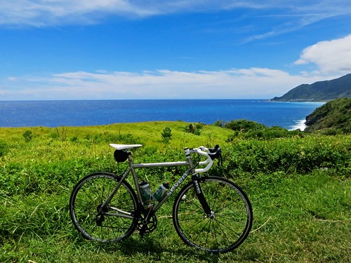
We arrived back in Imorod to relax and take in some liquids.
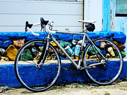
I then set off on the notorious climb to the weather station.
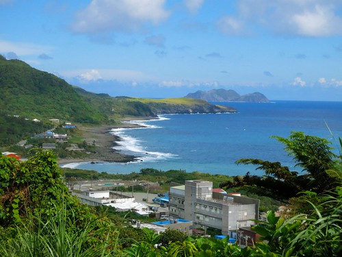
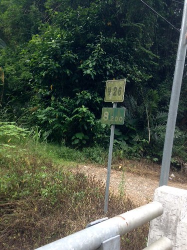
The sign doesn't even begin to say it.
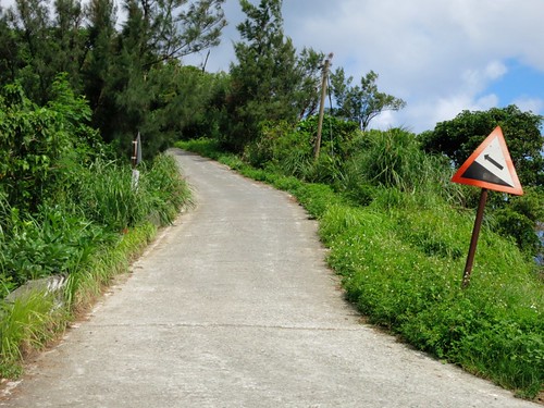
I was surprising myself with some solid seated climbing. I thought about letting the heat get me off the bike, but a bunch of girls came by on scooters and cheered me on, so I couldn't stop and I turned my focus from the heat back to my pedals.
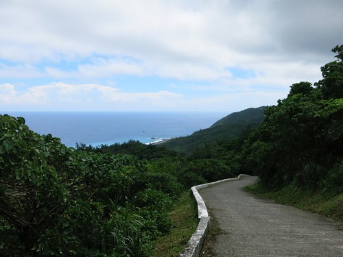
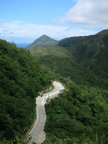
The road to the weather station is between a 25%-35% grade. Even scooter riders often opt to park at the bottom of the hill.
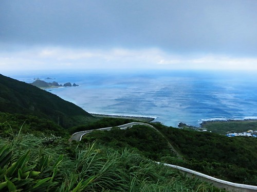
I stood up and torqued the bike under my body as I hung way out over my handlebars. I could feel the bounce in the alloy bars with each pump.
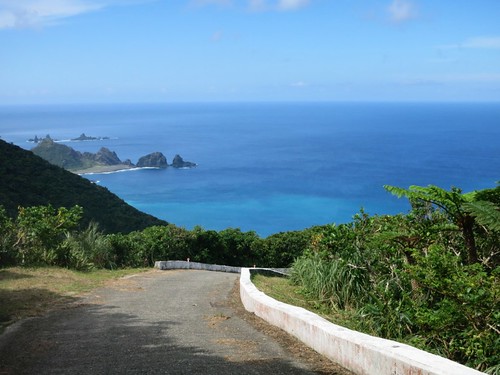
I wasn't burning yet. I tried to focus on the flatter sections and take it in pieces.
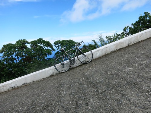
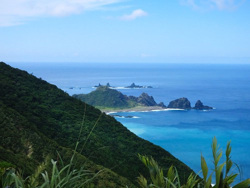
The view was enough to lift my spirits and lift my bike up to the top. I had never biked to the top and I had dreamt about it for a long time.
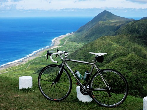
I had done it and deserved a victory pic with my bike floating over the island.
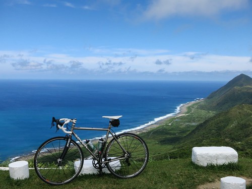
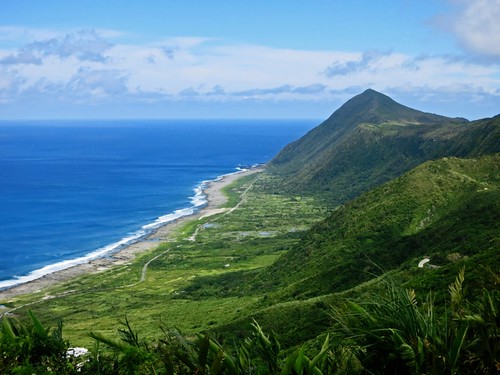
The view was....
The weather station clicked and whirred away as I cooled off in the breeze. I was kind of disappointed that nobody even acknowledged what I had just done. Doesn't anyone know how hard it is to climb regular hills on a bike... let alone a vertical cliff?
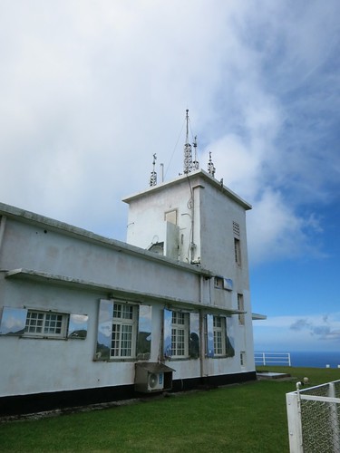
I checked out the old Japanese era weather station that was constructed in 1940.
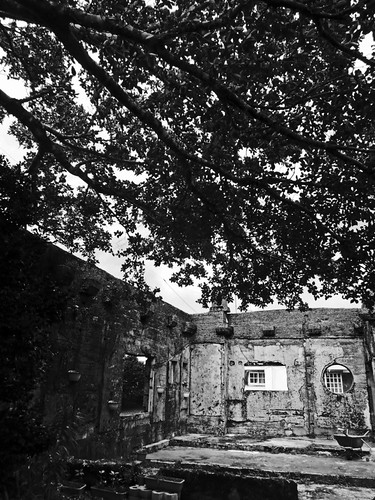
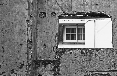
The walls still show pock marks where American planes hit it during a strafing run.
I returned to Imorod in time to join my family and friends for dinner at Do VanWa; a little outdoor kitchen run by Even (as in the opposite of Odd). Even is a very smart, successful entrepreneur, who founded Kasa in Taidong. I met her in 2005 and again in 2006, when my family came to Taiwan and we all went to Kasa. It was good seeing her again. Her food is excellent.
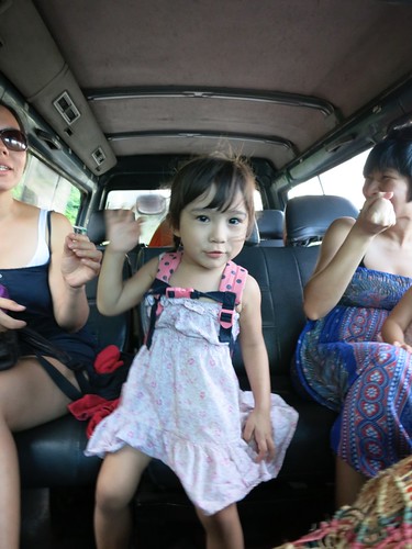
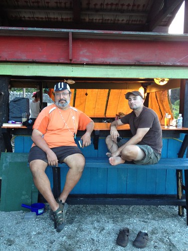
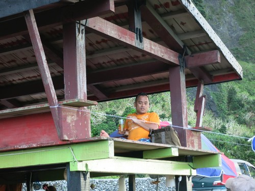
While we ate Mr. Aboriginal T.V. rested above and the kids played in the sand.
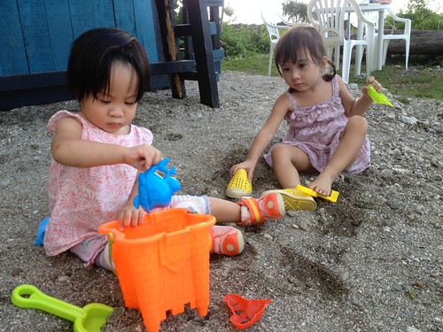
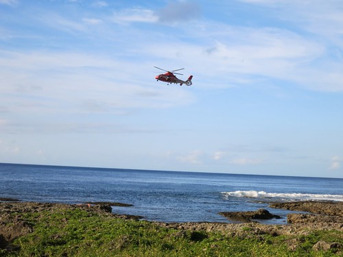
Sadly, a fisherman had been washed off the rocks and the recovery operation was underway just a couple hundred meters away.
It served as a reminder as to the everyday dangers that surround us.
And thus, my biking day had come to an end.
Hiking Lanyu:
The next morning we had breakfast and hopped on our scooters for the grassy field near Imorod.

The grassy field had once been an old village site, and more recently a collective farm.
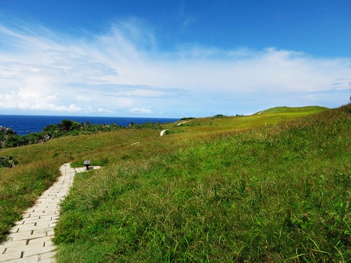
In recent years the locals have put in a brick trail to guide tourists through the field.
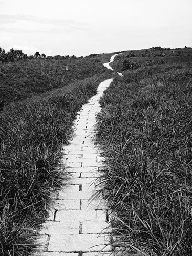
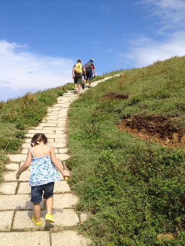
The grassy field is something anyone can do, and makes for a light family activity.
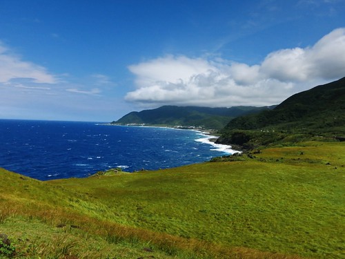
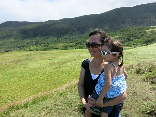
Joyce and Kit headed out to meet the other moms and kids, while Michael and I headed up to the crater at the top of a steep liking path.
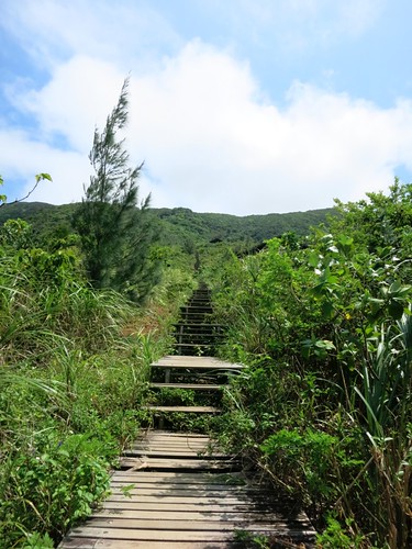
There had been some disagreement over the use of stairs at the opening of the path, but it appears they were eventually competed and then left to fall into disrepair.
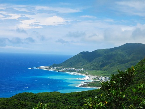
The initial views over the Imorod fishing fields are spectacular before the trail heads into the cover of the jungle canopy.
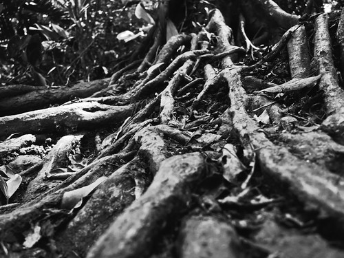
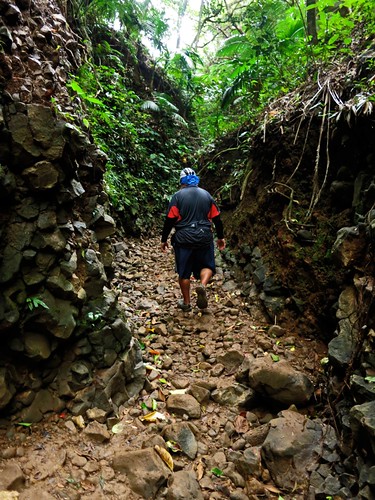
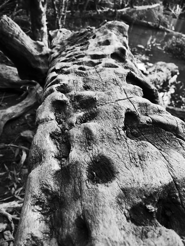
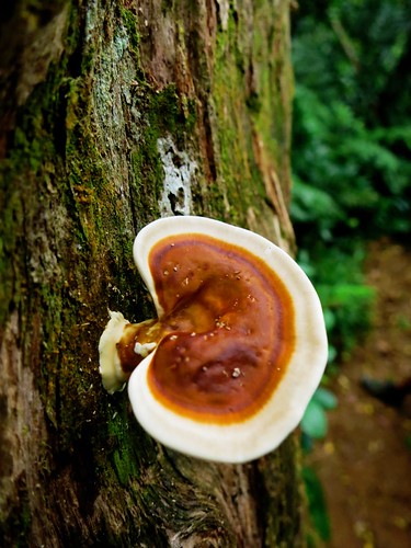
After a laborious hike, we finally emerged into a clearing where a shallow pond fills the crater at the top of the island.
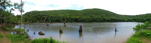
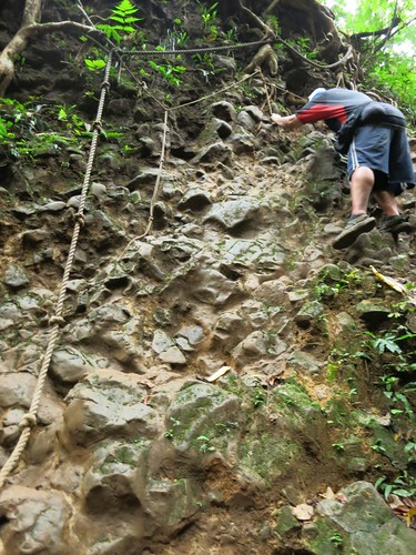
We climbed back down, which was harder than going up.
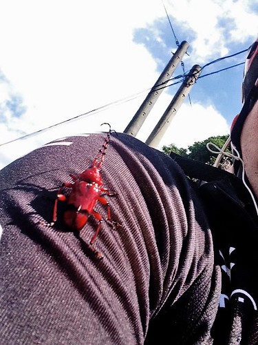
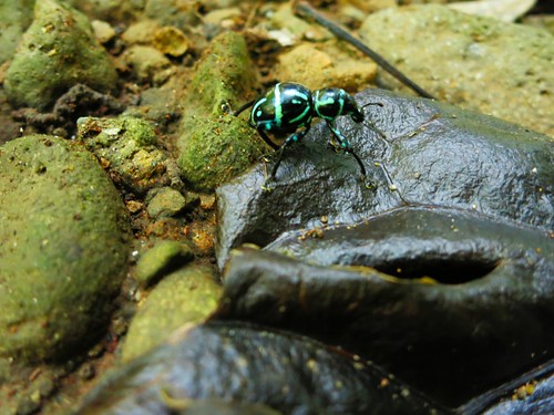
I did try to impress Michael with my insect shots.
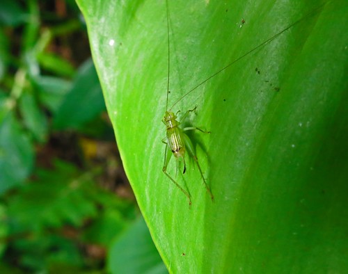
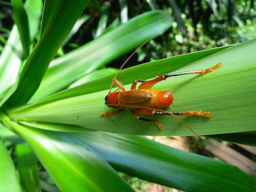
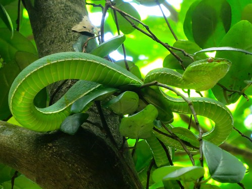
Then, as Michael was looking for bugs, I glanced up into a nearby tree and saw a Green Bamboo Viper resting on a branch.
These are poisonous snakes and you must be careful not to step on one, but they tend to leave people alone... even if they try to poke it with a stick.
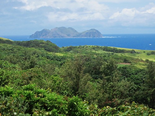
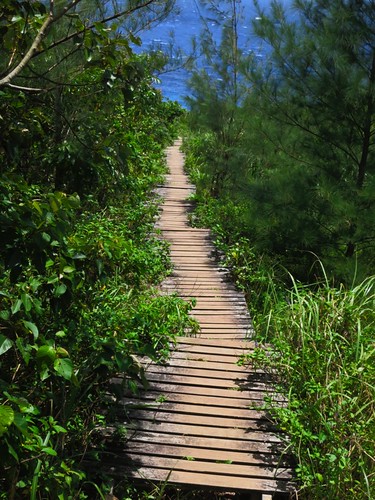
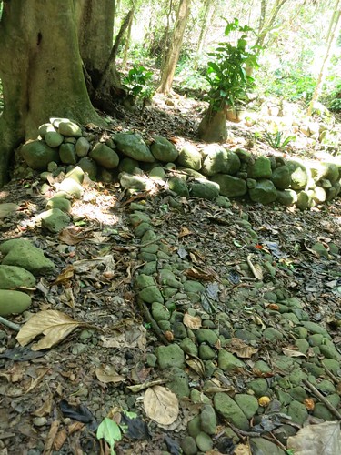
After marching back to the road we went another 50 meters to the bridge and walked down to the site of an abandoned village.
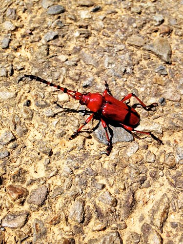
I got another fine insect pic out of that trip.
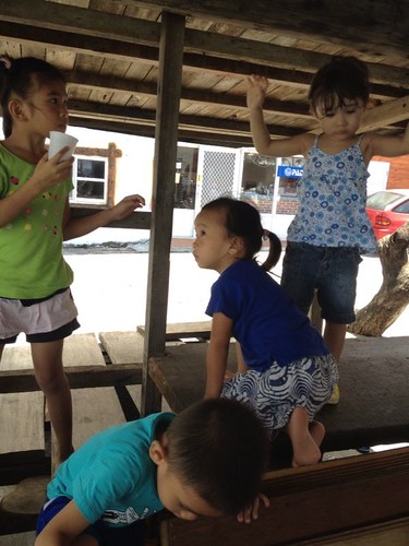
Playtime was soon over. We had another dinner at Do VanWa and some beers with Lefga before ending our final full day on the island.
We did a little shopping.
I always try to buy from the locals. One major problem on Lanyu is that the money is constantly flowing back to Taidong. Supporting local businesses is a great way to ensure the local people have power and control over their local economy.
The recent trouble with the 7-11 shows how developers in Taiwan are constantly trying to undermine and subvert the local economy on Lanyu. The 7-11 is owned by a local family, but they are backed by investors in Taidong. It is those investors who stand to make all the money.
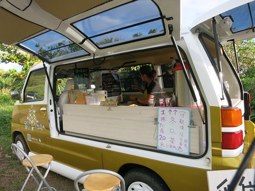
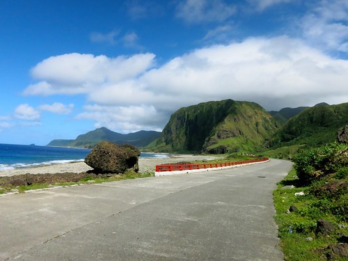
We said our final goodbyes and waited for our boat.
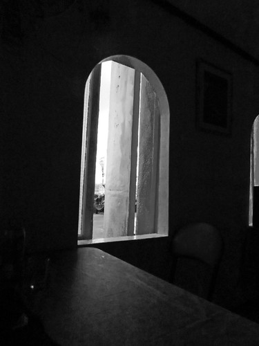
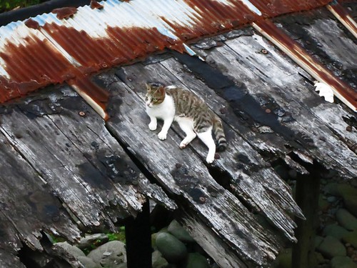
The boat was delayed due to the heavy chop on the water and so we had some more time to soak up the ambiance before departure.
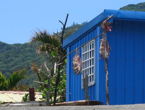
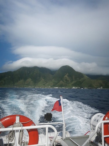
We were all too soon back in Taiwan, but the experience is always transformative. I can't wait to go back.
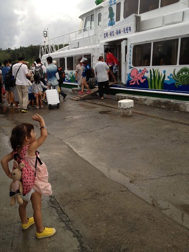
The simple rule of thumb is to stay for one more day that you think you need. You'll always want just one more day.
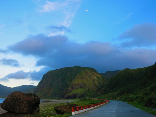

Maybe next time I'll see you biking Lanyu as well.
Do not go to Lanyu if you are picky about food and amenities. Don't go to Lanyu if you like to complain. Do not go to Lanyu if you take yourself seriously. Do not go to Lanyu if you don't like fish. Do not go to Lanyu if you are modest. Lanyu is not for everyone. Lanyu is a great place to go if you can sit back and take things in stride.
Lodging:
Meni's Place