

Taichung From On High
After an uncharacteristic week of cold and rain, the weather looked promising for a long weekend ride. I really felt like I needed get a punishing single day ride under my belt if I was truly going to climb back into form... and climb I did.
The plan was for a solo-ride over five or six good hills between Taichung and Nantou counties. I really preferred to solo this ride as there was a high possibility of failure and I didn't want to drag someone down with me. Only I could answer the age old question: When a cyclist fails in the forest, does he make a sound?
Friendly Riders
I started by climbing out of Taichung City up the notorious 129 from Dakeng. The death-spiral takes you up to a plateau overlooking Taichung and Fengyuan cities. The weather was cold, but relatively clear and sunny. I had a bit of a sore throat and post nasal drip that just made the first hour a pain. I decided to carry the Camelbak on this trip to reduce water stops and to have a little extra space to stuff food and clothing.
My plan had been all about pacing and thinking about the ride in parts rather than as a whole.
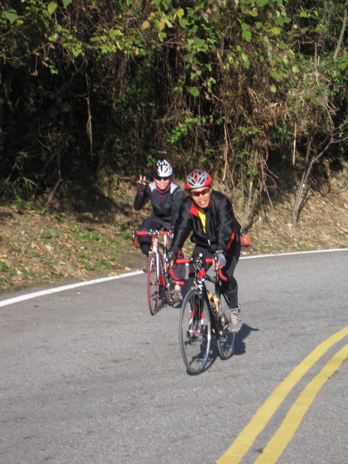
I easily spun up the 129 and practiced carving into deep corners on my way out to the Highway 21 between Taichung and Nantou counties. I have always been a bit of a puss with corners, but a little practice had gone a long way in giving me the confidence to attack them with a little more grit.

View From the Top of Highway 21
By the time I hit the Highway 21, I knew I had been taking things relatively easy and had done it much better in the past. I tried to convince myself it was a controlled speed, but I also feared it was all I had. I felt better as I passed a small group of riders who were climbing the 21 with fury. I hung back and chatted them up and then finished my ascent. I ticked another peak of the day's menu and was still feeling good. The mountains looked like a multi-layered, translucent stage backdrop, with each set of mountains floating behind the rest to give the illusion of depth.

View Toward Mountains
The descent down the Highway 21 is always a thrill. I didn't push too hard and continued my work on corners. I tried to pick a line and stick to it.
As I was coming out of the village of Guoxing, I was just cresting a steep, little hill before the junction with the Highway 14, and I noticed a couple uniformed men with reflective stripes on their jackets and a few people milling around on the side of the road.
I immediately assumed a temple procession would be coming by as there were placards of faux garlands posted up around the adjacent school. I stayed alert for the train of tour busses packed with pilgrims or for the palanquin parade to weave down the street.
It is truly amazing how life can pass so quickly and we can hardly remember most of it. At the same time there are some images that may pass in just a second and we can recall every stirring detail.
As I approached the uniformed men, they looked listless and ill. There was frantic commotion in the betel nut field below the road as a half-dozen people were bent over the flames of a blue-smokey fire as they frantically flipped spirit money into the heap of burning paper..
I passed at 30kph, but I could clearly see the shape of a body lying under a pristine white sheet about 5 meters away, amid a hundred thin trunks of betel nut trees.
The sheet covered most of the body except for the a pair of booted feet and two ashen yellow hands, palms upturned with fingers half-curled. The image reminded me of the old Frankenstine movies with the monster under the sheet waiting for the reanimating jolt of electricity.
He may have been hit by a car or had a heart attack in his field. Maybe he fell into the fields in a drunken stupor and the cold night air got too him. I will probably never know.
Just as that man's life had so quickly passed... as did I.

Valley
Despite the unexpected dead body at the side of the road, I continued along my route on the Highway 21. There is a short climb that offers the most magnificent views of a tight river valley that seems to sit at the bottom of a punchbowl. I always enjoy riding through this valley, but I can do without the climb out to another plateau above Puli. I was feeling a little tight in the legs by this point and the road that bombs into Puli is worth any climb. I made it to tick the third peak off my itinerary.

Sprouts
The plateau overlooking Puli is a bounty of agricultural beauty. The red soil and symmetry of the crops is a sight to behold. After a good climb the flats were just what the legs asked for.

Plateau Above Puli
All too soon I came screaming down the mountain to Puli, where I restocked and had a quick coffee.

Sun Moon Lake
From Puli the Highway 21 starts a long, steady ascent toward Sun Moon Lake. That stretch of road sucks. Cyclists are pushed off to the sides of the road, which are littered with rocks, sand and glass.
Just as I was getting to the point where the great 131 splits off to Shuili, I felt my back end getting soft.
Argh! A flat. A piece of Taiwan Beer bottle was lodged in my tire. Luckily I was right in front of a 7-11 and quickly set out to change tubes. In a matter of seconds I was another tourist attraction. About 6 or 7 people had gathered to watch me change an inner tube, each offering their own commentary. Come one, come all... watch the white man fix a flat. it is Sun Moon Lake after all. It and everything was put on this Earth for YOU!
That 7-11 didn't have a pump, so I had to use my CO2, which I don't trust very much. I had one misfire and the other worked. I think this incident turned the tide a little as it threw off my rhythm and cost me some valuable time.

Posing
Sun Moon Lake is a Tourism Mecca in Taiwan. This is not in doubt as the caravans of tour busses make an endless loop around this Japanese era reservoir, that was once a much smaller lake.

Chiang Tower
In the distance I could see the tower that popular mythology claims was constructed by Chiang kai-sheck in honor of his mother. In reality, it had less to do with the love for a mother than a rabid hatred Chiang harbored for the Japanese. The tower occupies the space that once housed Sun Moon Lake's shinto shrine.

Just What We Need... More Cable Cars
I took the East side of the lake, as it has fewer attractions and trinket shops. There was more climbing around the lake than I had anticipated. It seemed it would be a loop of gentle rollers, which were beginning to feel like mountains on my legs.

Just Pave It

Above The Lake
Finally, after battling traffic and rubberneckers for half the lake, I made my way to the Tsao/Ngan village, which actually resembles the flavor of a Native American casino. Years ago I had lunch with the "head family" of the village which was a position the KMT government invented to gain some greater influence over the area. The "chief" and "princess" talked to me for some time about their influence over the tribe. The "princess" still recalled her glory days of dancing for Chiang Kai-sheck. Not all the Tsao think so fondly of the former dictator or their local patrons.

Nantou 63
From the Tsao village the 投63 climbs up above the lake and the quiet, treelined road is a welcome respite from Disneyland below. Now, between the 131 and the 63, there is absolutely no reason to take the Highway 14 to Sun Moon lake.

Xinyi Township
Coming down the 63 is a simple thrill. There is nobody there. It is just you and some hulking mountain peaks.

An Odd House
I followed the 63 all the way down to the Highway 16 in Xinyi Township. There were a few minor climbs. I made my way out to Shuili and not much further beyond that my energy started to wane. It seemed I was pedaling squares all the way back home.

Choushui River
The cramping hit at Mingjian and it was all I could do to push forward. My original plan had called for me finishing over the 136 if I had had the time, but I was glad I didn't attempt it. It would have been a disaster. I need a few more of these long, punishing rides before I can do all six peaks on a loop through Taichung and Nantou counties. I have ridden better and plan to get back to that point.

Chasing Skirt
Final Score:
Distance: 114mi/183km
Elevation: 7438 ft. 2268m
Time: 8hr 22min.
Calories Burned: 6443