
Nothing begs for a bike ride more than a clear weekend in October. For many places around the globe late October means the best riding weather is long gone. For us in Taiwan, it means the best three months of cycling are upon us. By mid-October the heavy coat of humidity has blown away, the threat from a passing typhoon is greatly reduced, and the skies glimmer with bright warm sunlight. This is the season to ramp up the training and get into some kind of shape before getting sick and starting all over again.
For this weekend I knew I wanted to get out and beat my legs up a bit to better recover from my three-month summer layoff. I have also been itching to spice up my love affair with Taiwan's shapely roadways with a little something new in an area I rarely get the opportunity to explore. The map was telling me Hsinchu was that place and the 竹37 was the route.
The 竹37 starts in Beipu, the little urban outpost along the Highway 3 where the foothills begin their vertical transition into mountains. The attraction of the 竹37 was that it appeared to traverse a longitudinal ridge line from Beipu to the scenic Nanzhuang area. The road appeared long enough and put the wind at our backs. The trick was how to get there.
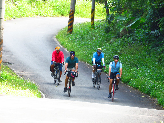
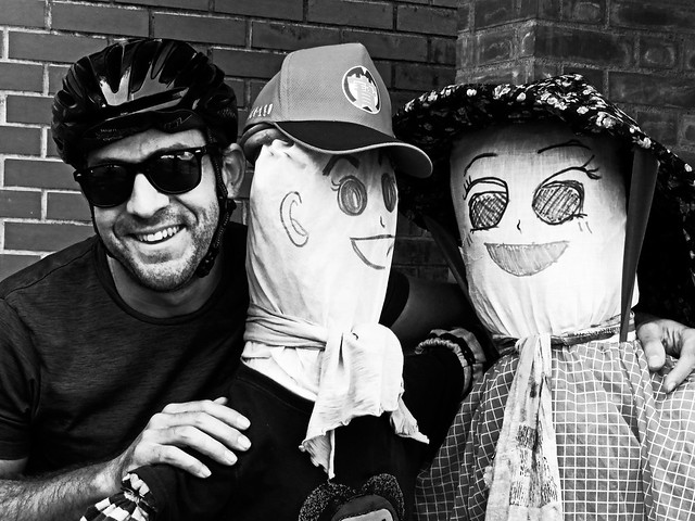
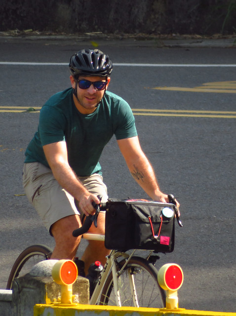
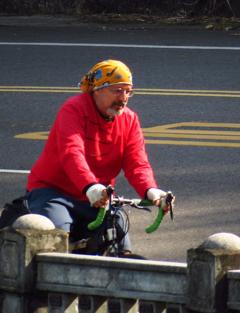
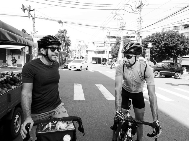
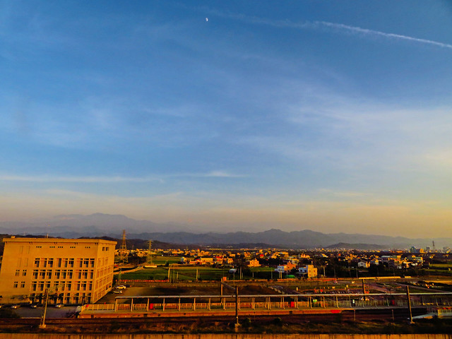
In a flurry of overnight texting, we had assembled a small group of riders with Dom, Matt and I taking the HSR to Hsinchu, while Michael and Mike Surly took the local train to Zhuzhong Station. It was set. Taiwan's train system puts so much within reach of a viable day ride.
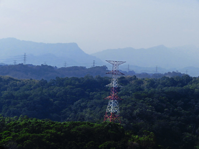
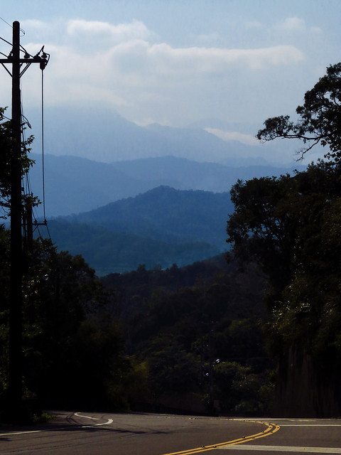
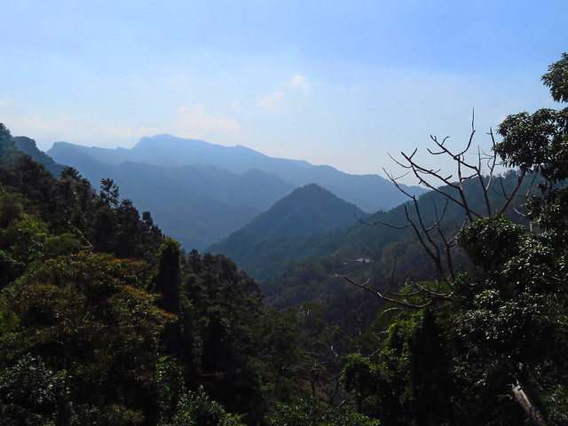
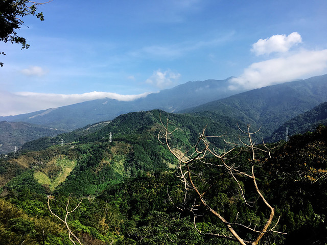
After a quick stop for coffee and fuel in Zhuzhong, we hit Kehu Rd. through the rippling foothills of Hsinchu. The entire area is a labyrinth of criss-crossing rural roads that traverse the deep gullies and estuaries of hill country. While it may be impossible to build a straight road among the ocean of steep inclines, it is possible for local governments to provide proper signage. Don't worry, they didn't. It can be very easy to get lost in the maze with several roads splitting and leading to the same destination...or not. The horizon is just layer upon layer of stacked ridges echoing off into the distance.
We took our time to check our bearings and avoid any unnecessary climbing. On a day when you have already accounted for some vertical pleasure, anything that isn't necessary becomes a worrisome burden.
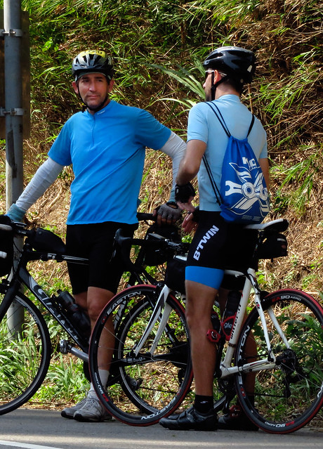
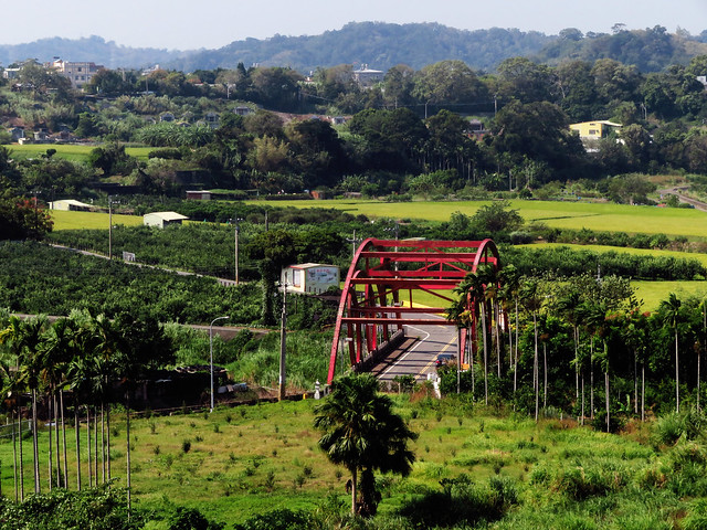
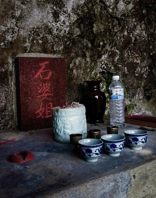
Along the way there are a few roadside treats as this area seems to be a favorite among local cyclists and day tourists.
The climbs to Beipu are short, sweet, but no less taxing. There are a couple of memorable grades among the rollercoaster of farming roads.
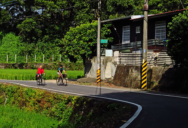
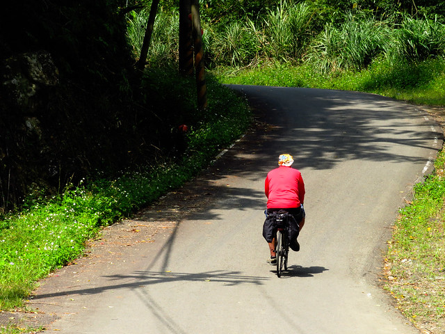
The road coasts into Beipu and a little slow rolling toward the back of town can find the drop into a wide valley to the lower reaches of the 竹37, which is also posted as 大坪路 and 大林路. This is an excellent place to grab snacks and water for the ride as the interior has plenty little in the way of refreshments except for a single roadside store that hawks wieners and dry sundries to weekend cold spring goers.
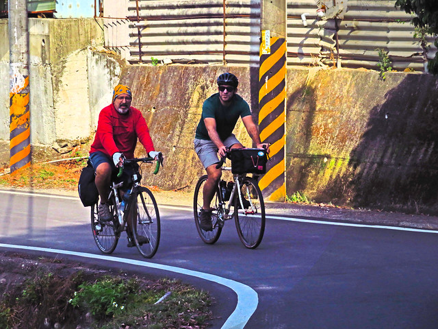
As we advanced a kilometer or two up the road, Michael and I both had the dragging feeing of disappointment wash over us as we realized we had already ridden it before and the sparkle of a new road for the books had been tarnished by the familiar roadside peculiarities. It wasn't that there was anything wrong with the road. It is really quite beautiful with some interesting attractions, but we were lacking the mystery. I was sure we hadn't taken that road to Nanzhuang and we pushed on with hope that we would soon out climb the familiar for a taste of something new.
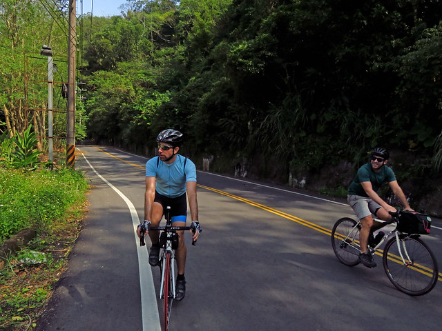
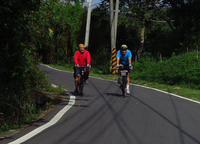
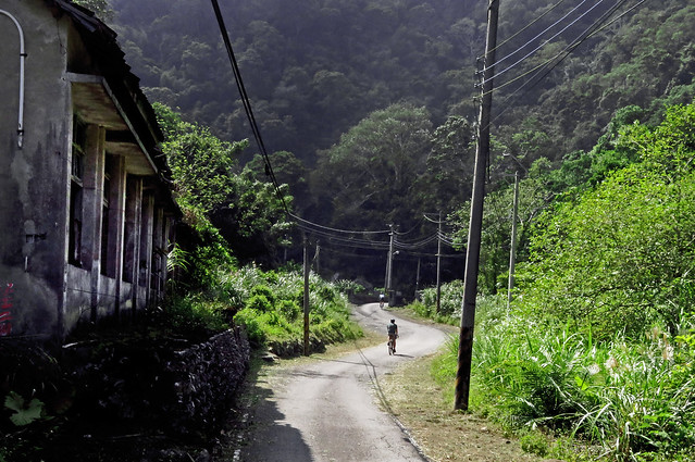
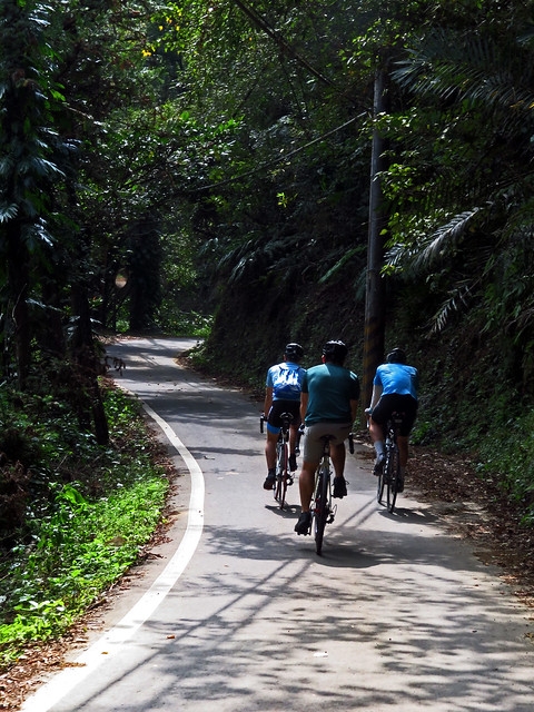
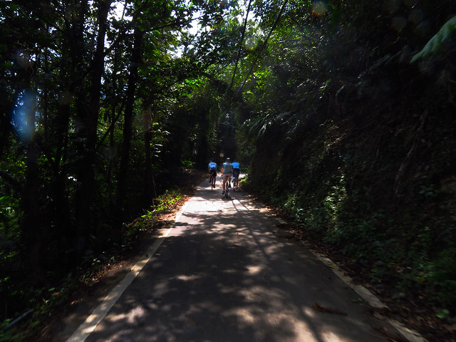
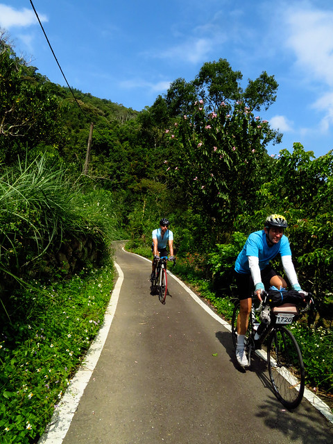
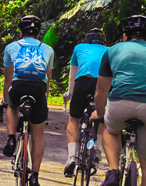
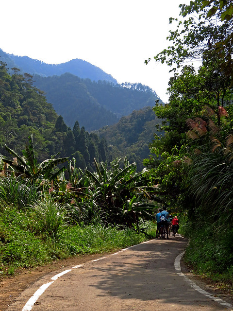
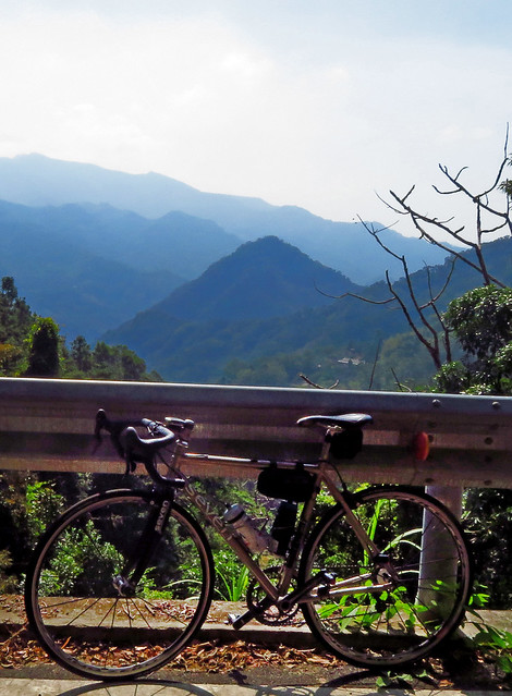
After having strung out over a kilometer of lovely two-lane asphalt bordered by verdant walls on all sides, we reconvened at a "T" intersection where a smaller road slithered into the sunlit greens of the hill above. This was our 竹37.
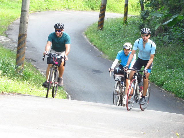
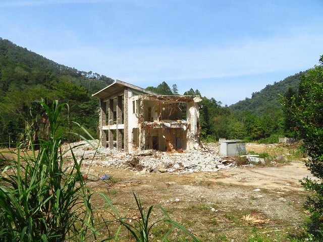
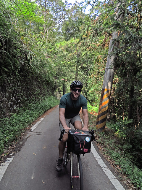
The 竹37 to Nanzhuang starts as a lane and a half footnote to the larger road below. It bucks and zags upward past the crumbles of Japanese era infrastructure that once helped support forestry and mountain agriculture.
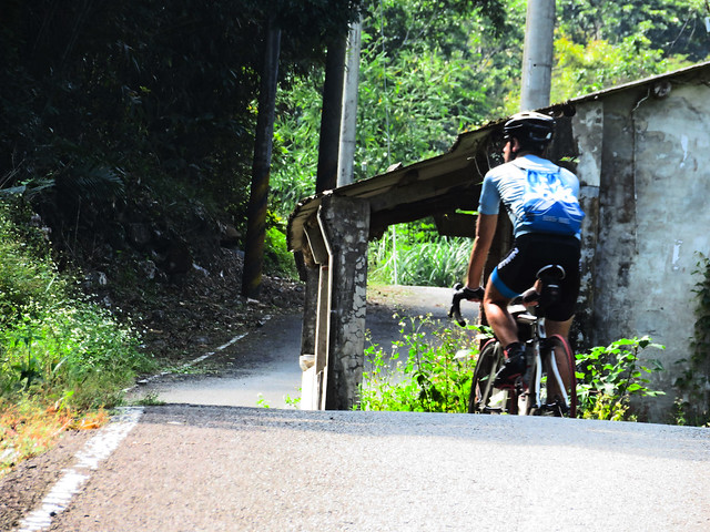
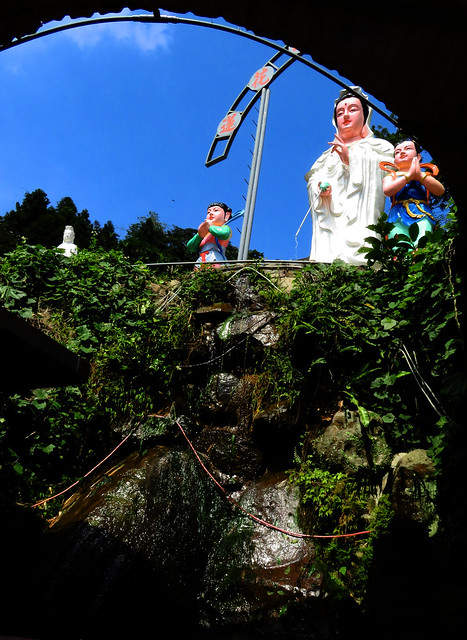
As the road continued upward it narrowed to a single car's width and became more interesting at every bend. There was little traffic and few dwellings save for a B&B and a Tears of Guanyin temple where believers filled plastic bottles of spring water from beneath a towering fiberglass statue of the deity.
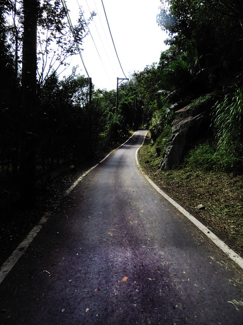
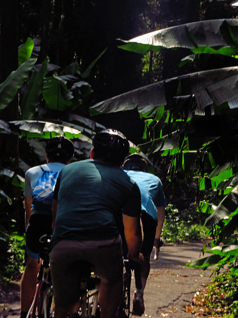
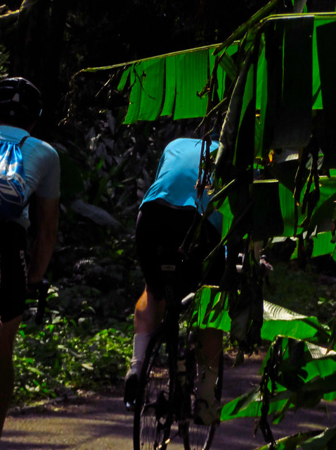
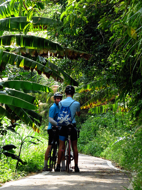
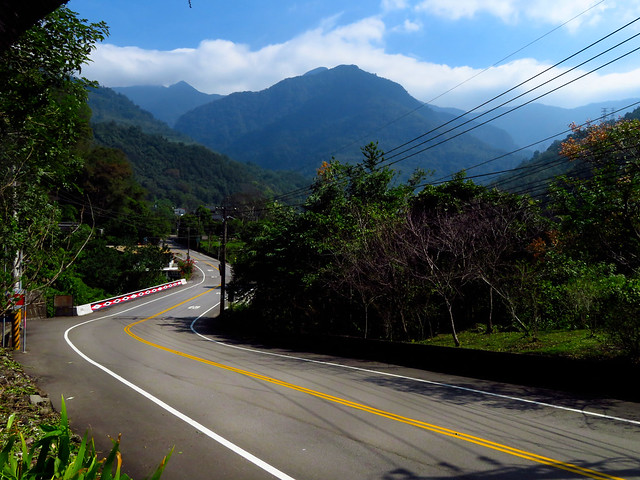
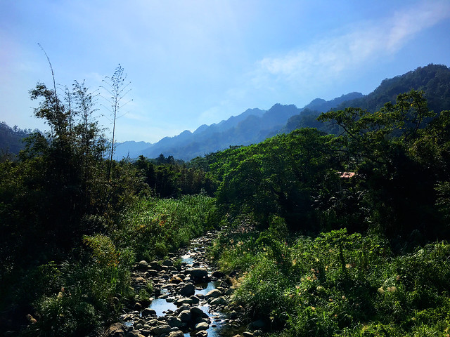
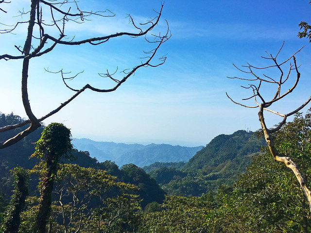
After the Guanyin statue the 竹37 becomes more like a well paved bicycle path that flits through shaded cedar groves and tall trees. There are still some cedar harvesting operations in the area and it gives the area a strange sense of displacement. On one corner banana leaves brush your ears, the next a grassy clearing, and then the bend ahead reveals the tall red trunks of evergreens--like a page from a scrapbook of Taiwan's rural landscape all within a few minutes.
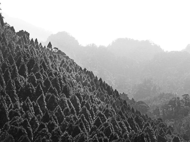
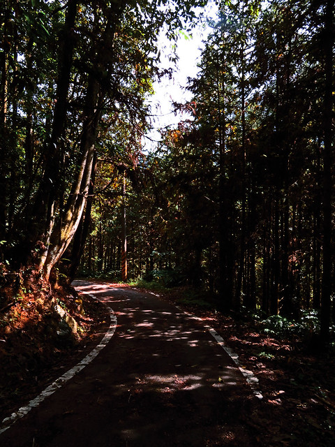
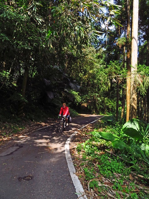
The road began to open up again as we pushed skyward out of a small highland marsh and up to the crest of the hill. The scenery was incredible, but light conditions made for poor photography. From the high point we could look down on Nanzhuang and the mountains high above. That really is a lovely area.
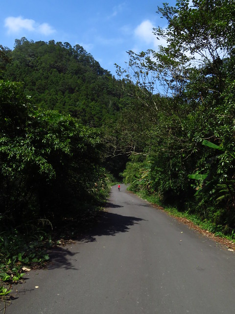
After a short rest we screamed down the hill onto the 苗21, which is also a fantastic cycling road that leads to the Xiangtian Lake area. It is all well worth the price of exploration. After a lunch and siesta at the Family Mart in Nanzhuang, our little band split into two groups with one group seeking a straight decline toward Zhunan Station, and the other still game for more altitude staying on the 苗 24 to the Highway 3 at Shitan. I elected to go with the latter group and abuse my legs some more on the hills.
I had forgotten how much of a climb that 苗24 had been. Actually, I had only ever ridden it in the opposite direction and I distinctly remember thinking on the descent, "Wow, I am glad I am not coming up this thing...."
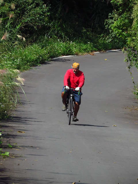
The lower sections are a little more merciful. The worst part is the onslaught of weekend tour busses. After a bit more altitude the busses disappear but the climbing remains. It is a hill where it pays to just find a steady cadence that you can stick with and then let the legs roar.
As I capped the summit I stopped for a few shots of the hills on the western side of the Highway 3 before rolling into the parking lot of the famous Lingdong Temple. It makes a nice place to grab a drink or snack, but you need to allow for tourist prices.
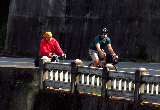
On this day it was the rare case of the ascent being more fun than the descent as we got stuck behind a line of braking cars and severe crosswinds.
We eased onto the Highway 3 and into the jet wash of the winds from the northern monsoon. Had we decided to turn tail and ride back to Taichung it would have been cake to just sit upright in the saddle and let the wind do all the work. Alas, we opted to cut across the Mingde Reservoir on the 126 to Miaoli City and then hop the HSR at the new Miaoli Station.
After a few more climbs and a duel with crosswinds, we had logged around 100k and 2000m of climbing.
Most of all we had ridden a true gem of a road that proved to be satisfying in its beauty, challenge and range. What a buzz!
Read Michael Turton's Ride Post: HERE