body{background-attachment: fixed ! important; }

Monday, January 12, 2015

Taiwan's Fascination with Black Box Cycling Infrastructure Schemes

DSC03693
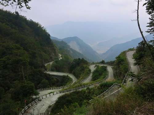
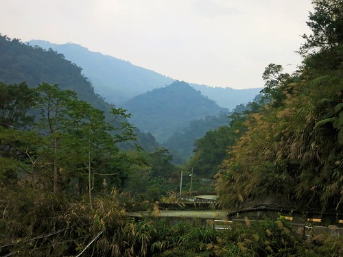
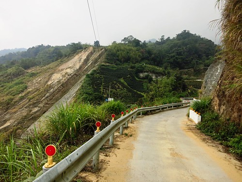
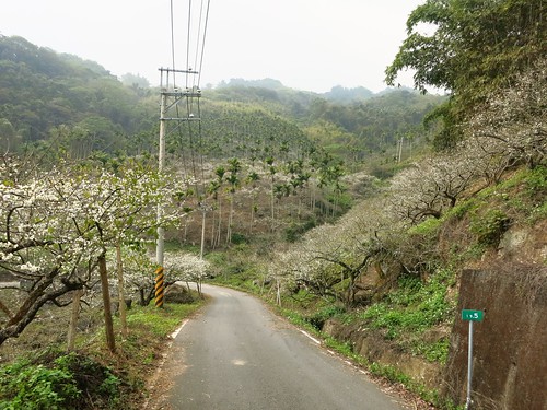
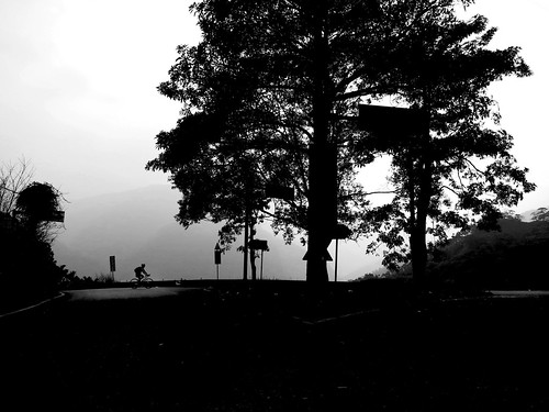
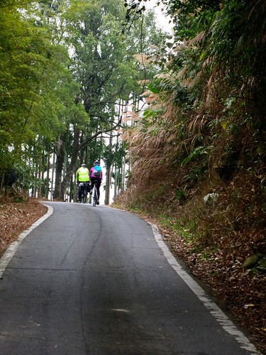
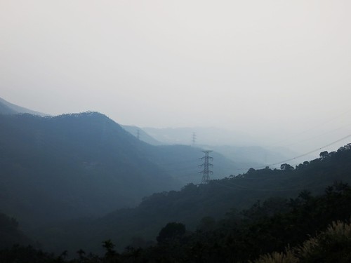
Another bike path to nowhere. This beautiful path has no destination. Photo courtesy of Michael Turton


So, from what they say, 2015 will be the year of the bike path. Taiwan's central government is planning to connect several existing bike systems together into a complete cycling transportation network by the end of the year. 

The executive Yuan explains
As for promoting cycling as a sport, Premier Jiang emphasized that ministries should build up a cycling atmosphere around the more popular routes and attract more foreign tourists for biking in Taiwan. Since this effort involves infrastructure construction, software management, promotion and marketing....
and further 
MOTC said it is planning to integrate bike paths with railways, buses, scenic spots, restaurants, accommodations and tours to provide a quality, safe and green cycling environment. Meanwhile, it will team up with the Sports Administration to assist local authorities to install bike path signs and mileage markers. It will also work with the MOI and MOE to include bike paths into land development and tourism plans, helping to create jobs, serve the physically active population and spur local industries.
An old report from Taiwan Today:


Under the NT$1.2 billion (US$40.2 million) government-funded project, 60 in-place paths are to be linked. Comprising paths, provincial highways and rail connections, the network will enable cyclists to complete a round-island-tour of 1,000 kilometers in nine days.
“Since I took office in May 2008, Taiwan’s bikeways have grown from 720 kilometers to 4,017 kilometers, President Ma Ying-jeou said at a Ministry of Education-hosted meeting with the nation’s youth Aug. 31 in Taipei City. “I have instructed the Ministry of Transportation and Communications to prioritize mapping the network and promoting it abroad.”

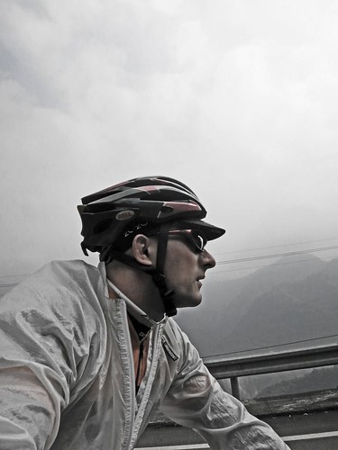
I would and should be ecstatic over this. As a cyclist I should feel like pogoing with pom poms a blazing in support of a bold government initiative to promote and develop a greater cycling infrastructure. I should. I really should. 

But I can't. 


On its surface it looks great. Upon closer examination this looks like another publicly funded black box program that diverts valuable resources away from where they would be most beneficial and locks them up in a mysterious scheme that serves as resume padding for elected officials in the lead up to an election year. No maps or plans are available for public scrutiny. The plans are left to localities to implement and the number of people served is greatly reduced by only focusing on cycling tourism. The government even had the gall to blow a bunch of smoke in regard to "reducing traffic-related pollution while boosting Taiwan’s tourism appeal." The cynicism hurts to the point of laughter. Not only is it unclear which businesses would benefit, nor does the plan specify an exact route, but is typical Taiwan fashion, the plan also does not allocate any funds for regular maintenance or safety. 

Well done!  


The fact of the matter remains that focusing on weekend and leisure cyclists as well as niche tourism, takes NT$1.2 billion dollars and throws it into putting garlands on an ass. 

This is a symptom that is rampant with Taiwan's cycling infrastructure. 

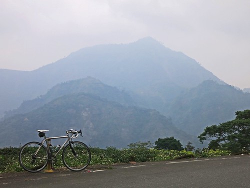
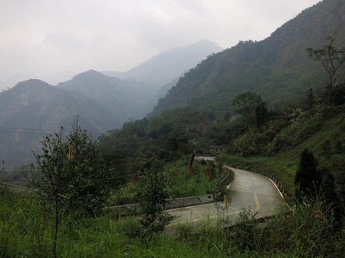
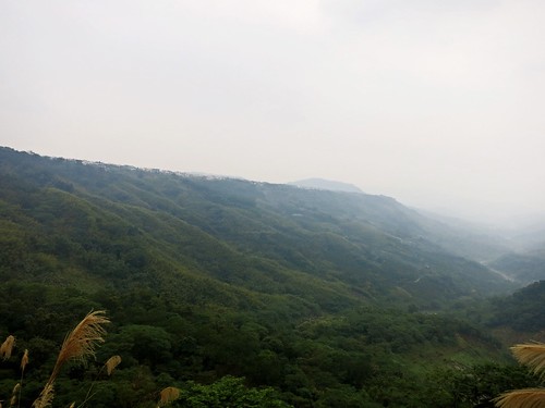
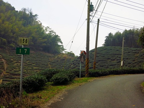
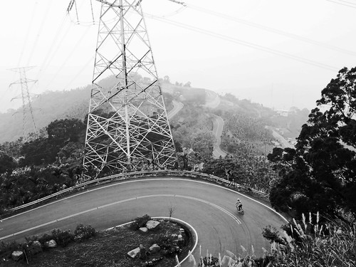
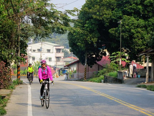
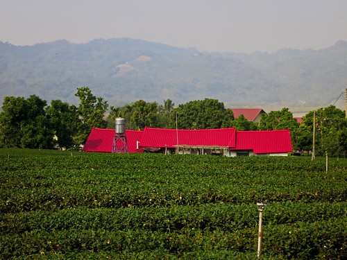
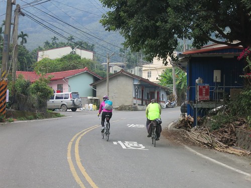
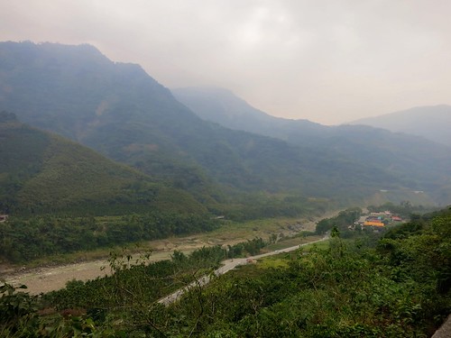
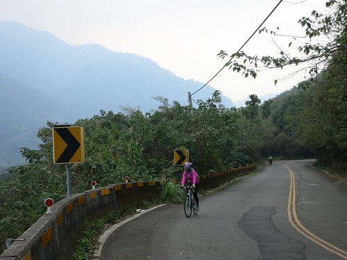
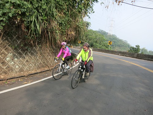
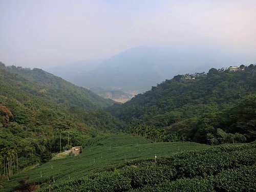
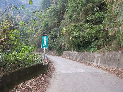
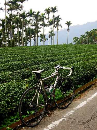
The majority of Taiwan is impeccable for cycling. The gaps between cities host dozens of excellent routes a cyclist can choose from. There are lovely roads that parallel other lovely roads. To narrow them down would be a disservice to the traveller. The problem is not in the gaps between cities where it appears much of this fund will be spent. 


The central government needs to quit throwing money into the black holes of local construction contractors and their political patrons. 

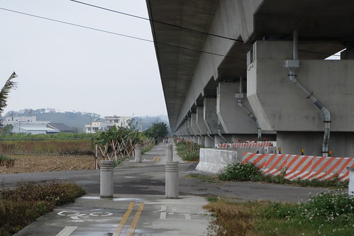
The greatest need for NT$1.2 billion in cycling infrastructure is in the cities once a cyclist has covered the gaps. Once a cyclist navigates through the countryside and arrives in Hsinchu, Chiayi, Taichung or Changhua... what then? There is nothing. The cities are not designed to accommodate the bicycle as a regular part of the transportation system and there have been no serious moves to actually move toward the bicycle's integration. 

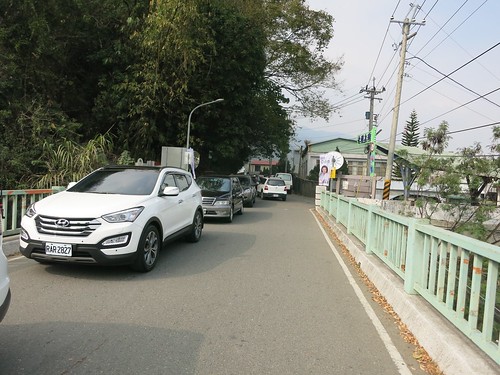
Various cities have gone as far as public bicycle rental schemes, which are actually quite handsome and conspicuous, but the bicycles really have nowhere to safely go. I often see these orange, slow moving bikes weaving in and out of traffic and uneasily along sidewalks. There will be no reduction of emissions when inviting foreign visitors to ride their bikes around Taiwan. 

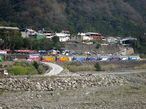
We hear of fancy bike trails like the congested Hou-Feng and Sun Moon Lake trails, but these are completely purposed for occasional entertainment. They benefit a few tourism interests and rental stations, but mean nothing to the majority of Taiwanese. 

Taiwan can do without overdeveloping the rural cycling atmosphere... but Taiwan can not continue to ignore the need for a serious and public approach to integrating the bicycle into the daily lives of its urban majority. 

I hope the new local heads can look beyond the cash rewards of a vague government program, and decide to use the cash in areas that may actually impact the lives of their constituents. 

Nantou Route 56: The Lost Highway of Central Taiwan

Untitled

There are some roads that may not look like much on a map, but they are begging to be ridden.

Several weeks ago I decided to climb the 頭49 to Sanlinxi and it gave me ample time to study some of the smaller roads in the hills around Lugu. There were several loose strings, a few promises... and then there was the 頭56.

As soon as I realized what I was looking at, I knew I needed to make an attempt on it while the dry winter weather was still dry and wintery. This past Saturday I threw myself into the unknown and experienced the most significant new road (to me) in a very long time.

Untitled

I took off a bit later than I had hoped, and I slept on auto-pilot all the way to Mingjian, where I plodded my way along the Highway 16 to Jiji. At the 131 bridge, I started to wake up and take notice of my surroundings. I didn't want to miss my turn into the unknown.

Untitled

The 頭101 is the first deviation I made from my regular route, and I soon realised I had been on the same road several years earlier.

Untitled

For a Saturday on Lugu it was amazingly quiet. I may have encountered only one car on the entire stretch of road.

Untitled

The 頭101 is one of those foothill roads that clings to a sandy riverbank and meanders past bare clay walls where chunks of hillside have fallen away.

Untitled Untitled Untitled Untitled

I was soon on the 頭56 where I took the left along a strange trout pond.

Untitled Untitled

The whole area around Fonghu Shan is littered with tourist resorts and hostels for the weekend getaway. Tackiness stacked on top of tackiness on top of the faux-brow aesthetic. I was worried.

Untitled

A couple kilometres further toward a bird sanctuary, the touristville evaporates and the mood is suddenly silent.

Untitled

After a tricky right hand hook past the ticket gate of Birdland, it is as if the road enters a parallel universe of ultimate tranquility. It is like plunging a thousand feet below to the Land of the Lost.

Untitled

I was wide awake. The 頭56 whips and wends through the narrowest cliffs this side of Taroko.

Untitled

There is little room for anything else but the relatively broad width of a two lane highway. And that was the thing about it. It looked like an actual highway... except it was almost completely abandoned, save for a few red pepper farms and an earth god shrine. It is otherworldly.

Untitled

I missed the right hook and arrived at a dead end. The highway had quite literally died. It appears the road had formerly been a much busier highway, until an earthquake or some other calamity cleaved a chunk of rock the size of a small town from the side of the mountain.

Untitled

From this point on the broad two lane highway became a rough trod trail of chunky concrete that cut through jungle and bamboos.

Untitled

The climb was demanding, but doable and the jolt of adrenaline from the view helped make it all the easier.

Untitled Untitled

The climb was over as soon as it started and I was quickly cruising toward Xinyi Township.

Untitled Untitled Untitled Untitled

I kept getting peeks at the river valley below from gaps in the trees.

Untitled Untitled

The final descent rips right through the middle of a plum field with the white blossoms looking like fresh snowfall.

Untitled

I made an initial attempt at the 頭59, but the steady line of VW Transporter vans encouraged my hasty retreat.

Untitled Untitled

The 頭56 is an extremely significant road as it provides a corridor from the Highway 21 behind Alishan to Lugu. This is huge as it can connect Lugu and Sanlinxi to larger trips around Alishan without being an unnecessary diversion. Imagine planning a trip through the mountains of Taiwan and coming up the 頭49, 頭51-1 to Sanlinxi, then simply taking the 頭56 out to the Highway 21 before assailing Tatajia. The 頭56 is not a very long stretch and it isn't a monument of physical endurance, but it provides the vital link between some other excellent routes.


Route 2,882,485 - powered by www.bikemap.net

Monday, January 5, 2015

Michael's Meishan Madness: The Hidden Hills of Central Taiwan

Untitled

With an extended New Year holiday, my options for weekend riding were completely open. I had several ideas rolling around in my head. I could have chosen anything. My first and best choice was not a chest thumping, piss contest, body wrecking joyride to boost my testosterone (though being over 40, it may not have been a bad idea).

Instead, I wanted to spend my first ride of the year with an old friend and a new one as well.

A great ride isn't necessarily... or even remotely about achievements on the Strava leaderboard. Often, the greatest and most memorable rides are stitched together by the ambling conversations that twist, roll and pitch with the contours of the natural landscape.

 Michael Turton had a ride on offer and I was ready to buy. The idea was to thread together a series of lightly trod mountain roads between Taichung and Chiayi counties. I had been on a few of the roads before, but I had never put the pieces of the puzzle together in exactly the same shape... and I was excited to see what kind of trip this might make.

Oh, the reward!

Untitled

I rode the 30km from Taichung to Zhushan where I met up with Michael and Iris, another local rider from Taichung. Michael and Iris hopped a train to Ershui Station to save time and energy for the day's climbing.

Iris has not been riding for very long, but she is a dedicated cyclist who has put in the time with a regular riding schedule that has helped her become fit enough to eat up the hills in short order. Apparently, we both raced in the Tataka Hill Climb last October.

Untitled

Our route started off on familiar territory with the incredible Nantou Route 149 from Zhushan.
The 149 makes easy work of the Qingshui River valley. The air quality was not perfect, so it was hard to really capture the beauty of the river valley.

Untitled Untitled

The Route 149 cuts through the Lugu and Alishan tea growing districts and thus we were never too far from a tea field.

Untitled

The area is sparsely populated, with only pockets of farms or houses rising out of the forest.

Untitled Untitled Untitled

We remained on the Route 149 as it breaks right, high above the infamously daunting 149乙.
I couldn't help feel drawn deeper into the mountains by that mesmerizing call of the Alishan Route.
Untitled Untitled

The climbing was not terribly high, nor steep... but it had the feeling of drifting out into nowhere.

Untitled

There is not a lot to eat in the mountains, so we brought a little food and snacked as we rode.

Untitled Untitled Untitled Untitled Untitled Untitled Untitled

As soon as I thought I had the route figured out, Michael added a new wrinkle to it with a left turn up what looked like a small farm road. This was the 212-1.

Untitled Untitled Untitled Untitled Untitled Untitled Untitled

The 212-1 is a tight little farm track that sneaks between remote tea farms and the abyss.

Untitled Untitled Untitled

Needless to say, I was surprised to be crossing into Chiayi County. The road system throughout the Qingshui River Valley crosses through the convergence of Taiwan's Nantou, Changhua, Chiayi and Yunlin Counties.

Untitled Untitled Untitled Untitled

At one junction we turned onto the 151-1 and I could see no way out of the mountains without a serous climb. At every corner it seemed we would be veering back into the valley below.

Untitled Untitled

Finally, the 162甲 was at hand. The glorious 162甲-- A road that was undoubtedly designed by a cyclist.

Untitled

The 162甲ties itself in knots on a comically drunken scribble of road that cascades through tea gardens, farms and forest. The road is impossible to descend without stopping to take pictures of such a comically incredible feat of engineering whimsy.
Untitled Untitled

We all plunged into the plain below. I was stuck in a convoy of cars as I waved them off from even thinking about riding up on my left. I was ferocious in sticking to my line and pace with the cars in front.

Man, what a ride!

It was then a slow roll into Dalin Station for a train back to Taichung. I had over 100k of distance for the day and I can imagine the entire ride being done in a single day. There are just so many options in that valley... yet it is fortunately neglected by most regional cyclists.

The company was the best. I was so happy to be out riding with Michael and Iris on that day.

I will definitely be doing this again.

Untitled

Route 2,878,952 - powered by www.bikemap.net