

It had been too long since I felt I could seek out a little adventure on a mystery road I had only vaguely imagined from a Google map and hazy recollections of regional topography. Sunday provided just the opportunity I was looking for.
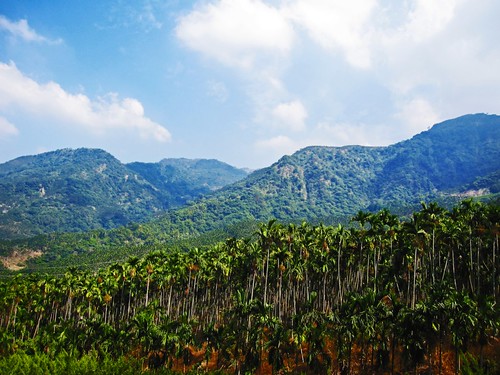
With no desire to spend a gorgeous day fighting wind, I had my eye on exploring a section of Nantou foothills that was far too vacant on my riding map. I etched out a vague ride plan and memorized a few of the details and the names of a few of the communities scattered around the Nantou side of Jiufen Er Shan. I aimed to take a route out of Caotun and into the hills near the Longfeng waterfall. This is the same route that goes up to the 921 Earthquake epicenter, but I hoped to continue into some new areas.

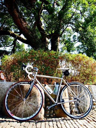
As I ambled along at a lazy pace to Wufeng, I met up with Michael Turton on the road and we made small talk all the way to Nantou. I changed my original plan and decided to start my climb on the Nantou Route 22 (Dongshan Rd.). This was a fortuitous decision as I had forgotten to grab my food and emergency cash as I hurried out the door. Three weeks off the bike is enough to forget the usual routines and precautions. I am surprised I brought my own ass with me.

The initial climbing was quite tame. 2-4% grades. I passed through a few towns that showed signs of being rebuilt after the massive 7.6 magnitude quake that rocked the area in 1999.

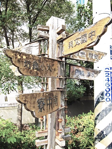
Before long I started to recognize the Route 22 as the road Todd A. had taken us up on the way to the earthquake epicenter. The road is a designated bike road with plenty of signage to drive the point home.
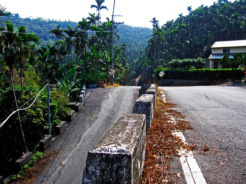
The stretch of road that leads to the Longfeng waterfall has some light traffic and tour busses. I passed the commotion at the falls and continued ahead on a deserted ribbon of asphalt.
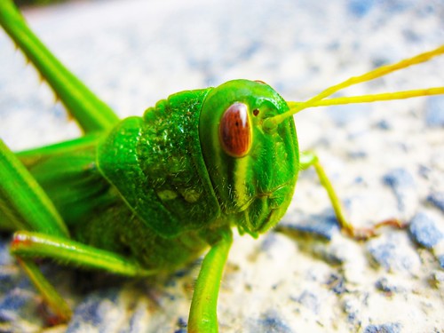
The only real company on the road were a few butterflies and a large locust that was content enough to sit out on the median sunning itself.
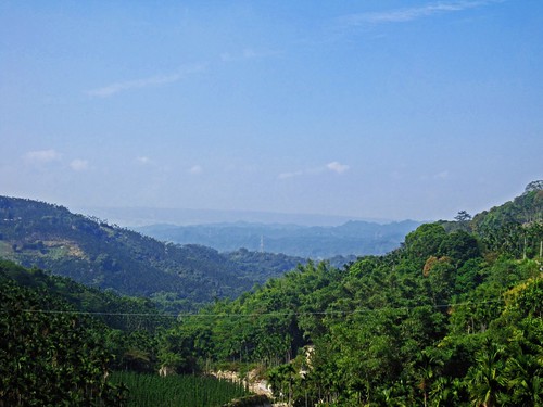
A few kilometers past the waterfall the road split into the 58, 56, and 54. These all looked like farm trails and I debated which would be best for this ride. I didn't recall seeing any of them on the map, so I went with my intuition and headed down the 58. I could look out at a sea of hills eddying out into the distance. I knew it was the way to Jiji or somewhere, but I couldn't see any sign of human existence save for the occasional red and white power pylon.
My stomach wasn't feeling real great and I was looking at a long, uncomfortable day on the bike. So I turned tail and chose another road that looked like it would head back home.
The thought of adding another two hours between myself and a 7-11 restroom was too much to bear.
I dropped through one of those narrow chutes that exits off the mountain and I found myself back at the village where the Hakka singing competition was taking place.
I decided to take the Nantou Route 17 to Caotun rather than retrace my steps any more than I already had.
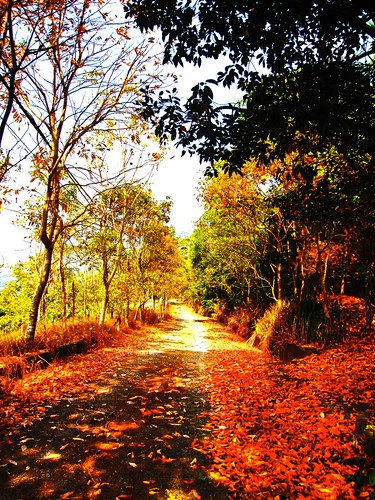
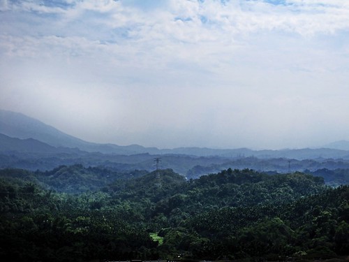
The Route 17 was a quiet little road that snakes an invisible line through the forest before climbing up to a cemetery over Caotun.
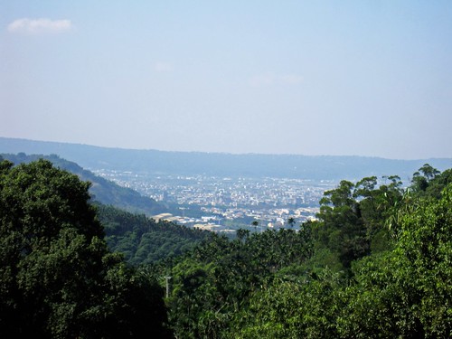
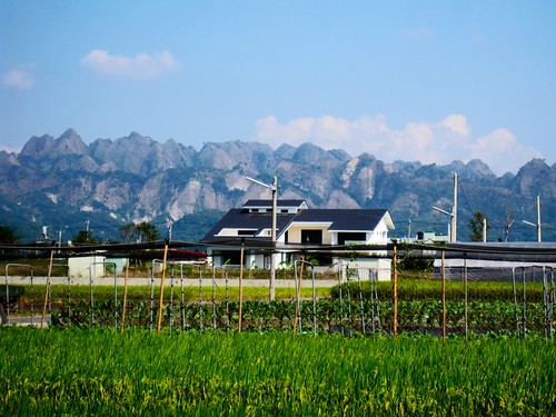
The view was incredible.
I realized I had been there several years before as I was looking into some local history.
I eventually cruised off the mountain at top speed and landed on the Highway 14 back through a nasty crosswind home.
A nice way to spend 100k.
This map is as close as I could draw. Not all the roads are listed.