With a long weekend for Mid-Autumn Festival on the menu, I felt like I was in the mood for all the danger and excitement of a little exploration. After a car trip on the Number 6 Freeway to Puli, I have become interested in the roads that blanket the foothills to the Central Mountain Range. By the size of some of the cliff faces, the roads all carry the alluring air of mystery. I decided to try my luck on the Nantou Lane 17, also known as 山茶巷.
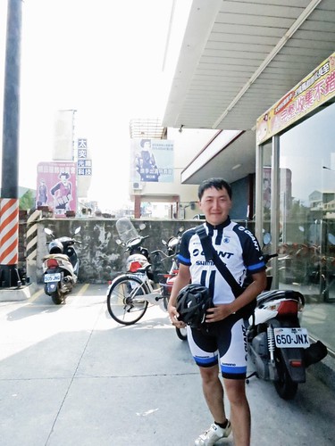
The day started out on a happy note as I chatted up Mr. Yang another Taichung based cyclist who was out introducing a lady friend to cycling with a trip to Sun Moon Lake. I have since heard they are still together.
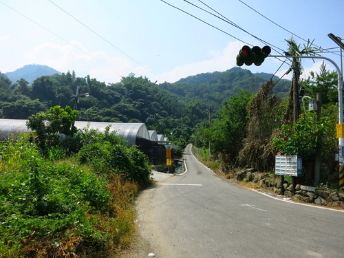
After a refill on water and nutrition, I beat it to the beginning of the Nantou Lane 17, which looks like it is simply devoured by the jungle right off the Highway 14. With the encouraging signs of "civilisation" up ahead, I began my climb.
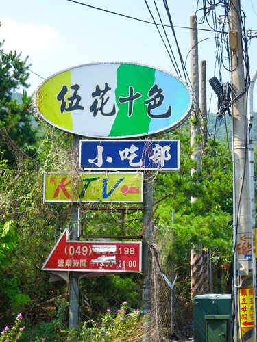
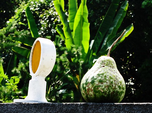
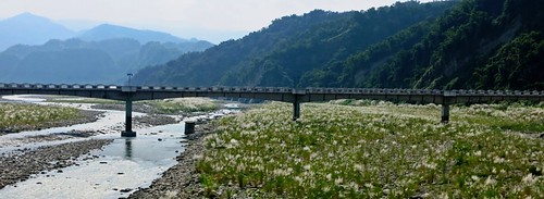
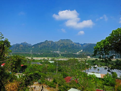
The first ramp exposes the riverbed below. It is only a prelude to the full onslaught of angry switchbacks on a road that should be wiped from the map.
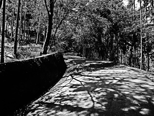
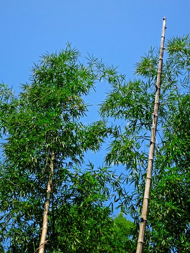
At first, the climb doesn't seem too bad with shady strips of evenly laid concrete hidden beneath shady bamboos....
The ruse holds until the 1.5km marker, when the road reveals its true nature. A beautiful waterfall gurgles below like the Siren's song--calling on riders to lay the bike down, give up on the day and take a dip in its cool, pesticide coated waters.
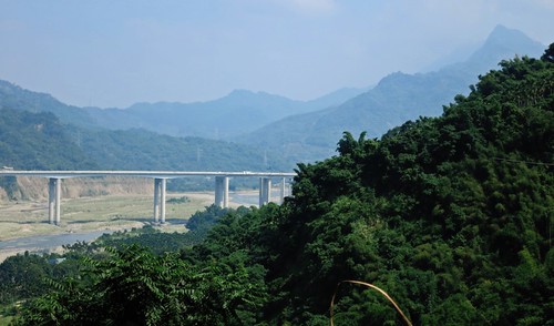
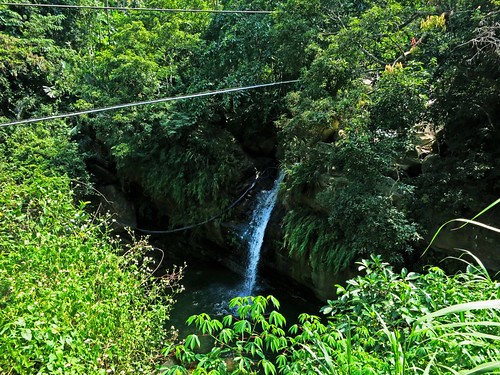
Just after the waterfall the rap action starts. This is the main show. The road has a climbing profile of Disney's Matterhorn ride.
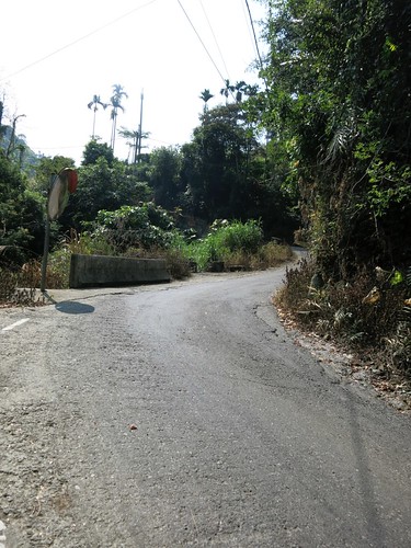
The switchbacks are long 12%-15% grades that could have easily been chopped into shallower switchbacks, but the lazy engineering crew couldn't have been bothered.
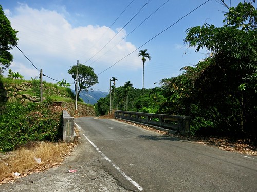
The far too occasional Mitsubishi service truck or Suzuki Prince makes the climbing that much harder as any rhythm or momentum that is gained, is immediately lost while dismounting to get off the roadway as local farmers must meet their quota for betel nut trees sprayed.
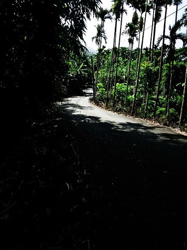
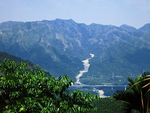

By kilometer 4, the legs were becoming jelly. I knew it was going to be a long day. By kilometer 7, the jungle was transformed into a surreal landscape of betel nut trees amid boulders and earthquake debris.
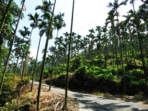
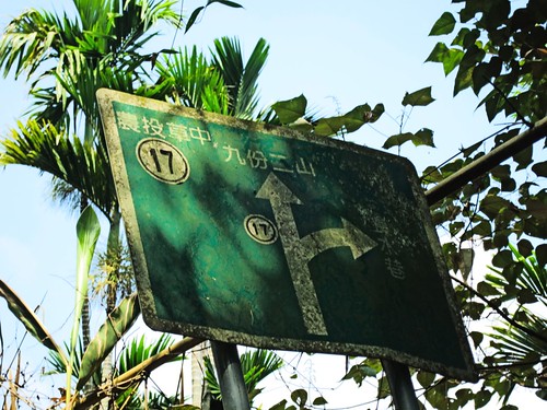
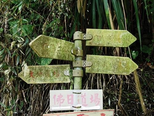
Although I stopped to check and double check the GPS, the road is more clearly marked than on Google Maps.
I opted for the shorter road down as it seemed to suggest a lake. Sorry, nothing!
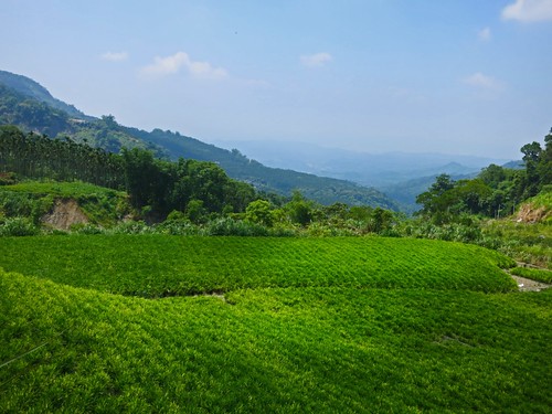
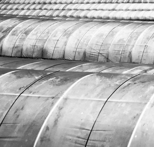
I did manage to pass a giant rose growing operation that I had seen the night before on TV. That was cool.
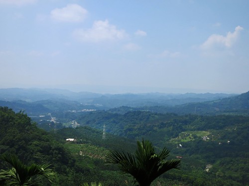
I was soon plunging toward Nantou full throttle chasing a mirage in the heat that seemed to look just like an ice cream bar.

The scenery on the road was sort of a Greatest Hits version of the agricultural areas in the foothills between Gukeng and Miaoli. The real draw for this road might be if you are looking for a harder alternative route to Jiufen Er Shan and the earthquake epicenter. It is also a great little road if you are looking to explore the hundreds of farming tracks that branch out all over Nantou.
It is certainly a great route if you want to practice climbing.
Route 2,790,109 - powered by www.bikemap.net

Looks like tough climbing on bike! Yes, I totally agree when one knows that when a country does have money and engineering expertise, there's no excuse not to make the roads less steep and less dangerous. Canada should know since we too have areas of mountains and lots of rugged wilderness areas. British Columbia would probably be more pleasant, still challenging cycling for you compared to some stuff there in Taiwan.
ReplyDelete