body{background-attachment: fixed ! important; }

Wednesday, September 10, 2014

Tackling Tranquil and Terrible Tainan: The View from Taiwan's Southern Expedition

NathanRide_208

Michael Turton of The View from Taiwan has posted a magnificent spread detailing his tour of the foothills of Tainan. The full article can be found HERE.

Here is an excerpt:

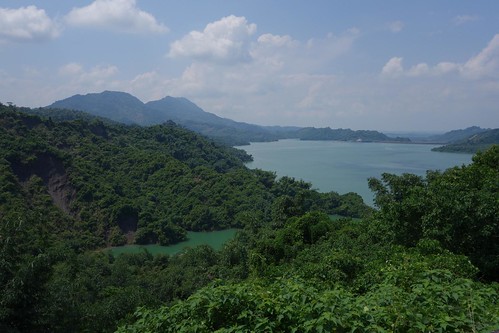
The 179 turned out to be absolutely brutal, 16 kms or so of up and down hills, none big, but almost all 10-12% grades, a couple every kilometer. Because the area around the reservoir is a conservation district, there was no development -- no houses, no water, no people, nothing. The road surface was broken up with great gashes that ran parallel to the direction of travel, dangerous invitations for your wheels to slide into. And of course, no views, the whole thing was vegetated over. It was basically 16 kms of brutal ascent and descent, with nothing flat.

Monday, September 8, 2014

Nantou Lane 17: A Tour of Agricultural Nantou on 山茶巷.

IMG_8800

With a long weekend for Mid-Autumn Festival on the menu, I felt like I was in the mood for all the danger and excitement of a little exploration. After a car trip on the Number 6 Freeway to Puli, I have become interested in the roads that blanket the foothills to the Central Mountain Range. By the size of some of the cliff faces, the roads all carry the alluring air of mystery. I decided to try my luck on the Nantou Lane 17, also known as 山茶巷.

 IMG_8688

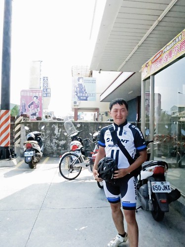
The day started out on a happy note as I chatted up Mr. Yang another Taichung based cyclist who was out introducing a lady friend to cycling with a trip to Sun Moon Lake. I have since heard they are still together.

IMG_8694

After a refill on water and nutrition, I beat it to the beginning of the Nantou Lane 17, which looks like it is simply devoured by the jungle right off the Highway 14. With the encouraging signs of "civilisation" up ahead, I began my climb.

IMG_8699 IMG_8711 IMG_8716

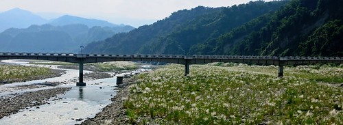
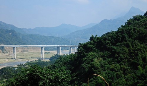
The first ramp exposes the riverbed below. It is only a prelude to the full onslaught of angry switchbacks on a road that should be wiped from the map.

IMG_8726

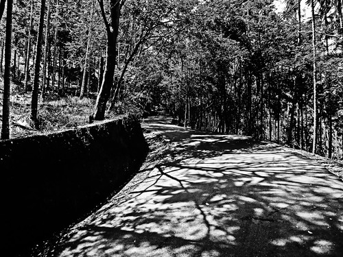
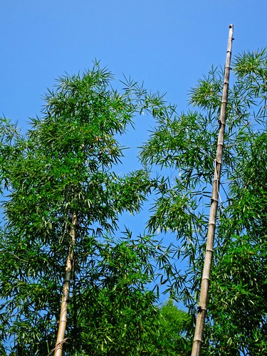
At first, the climb doesn't seem too bad with shady strips of evenly laid concrete hidden beneath shady bamboos....

IMG_8731

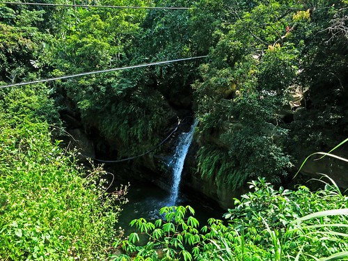
The ruse holds until the 1.5km marker, when the road reveals its true nature. A beautiful waterfall gurgles below like the Siren's song--calling on riders to lay the bike down, give up on the day and take a dip in its cool, pesticide coated waters.

IMG_8732 IMG_8736

Just after the waterfall the rap action starts. This is the main show. The road has a climbing profile of Disney's Matterhorn ride.
IMG_8743

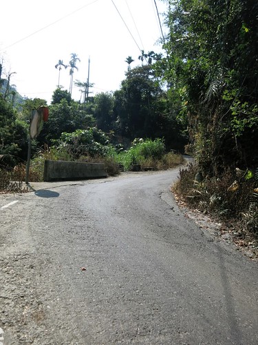
The switchbacks are long 12%-15% grades that could have easily been chopped into shallower switchbacks, but the lazy engineering crew couldn't have been bothered.


IMG_8750

The far too occasional Mitsubishi service truck or Suzuki Prince makes the climbing that much harder as any rhythm or momentum that is gained, is immediately lost while dismounting to get off the roadway as local farmers must meet their quota for betel nut trees sprayed.

IMG_8755 IMG_8764 IMG_8777

By kilometer 4, the legs were becoming jelly. I knew it was going to be a long day. By kilometer 7, the jungle was transformed into a surreal landscape of betel nut trees amid boulders and earthquake debris.

IMG_8789 IMG_8817 IMG_8818

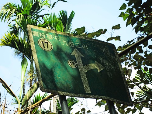
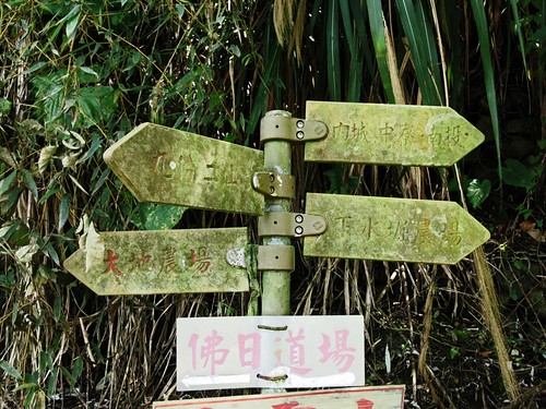
Although I stopped to check and double check the GPS, the road is more clearly marked than on Google Maps.

I opted for the shorter road down as it seemed to suggest a lake. Sorry, nothing!

IMG_8827 IMG_8834

I did manage to pass a giant rose growing operation that I had seen the night before on TV. That was cool.

IMG_8839

I was soon plunging toward Nantou full throttle chasing a mirage in the heat that seemed to look just like an ice cream bar.

IMG_8855

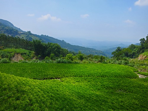
The scenery on the road was sort of a Greatest Hits version of the agricultural areas in the foothills between Gukeng and Miaoli. The real draw for this road might be if you are looking for a harder alternative route to Jiufen Er Shan and the earthquake epicenter. It is also a great little road if you are looking to explore the hundreds of farming tracks that branch out all over Nantou.

It is certainly a great route if you want to practice climbing.

IMG_8853

Route 2,790,109 - powered by www.bikemap.net

Monday, August 25, 2014

A Wrinkle in Climbs: Nantou Route 68 and Route 64

 IMG_1603

After a week to recover from last week's physical implosion on Hohuan Mountain, I decided to limp back onto the pubic roadways and have a little adventure on some roads I had never ridden. Sometimes you just need to add a few wrinkles into a more direct route to make the ride worthwhile. That is what I set out to do.

IMG_1570

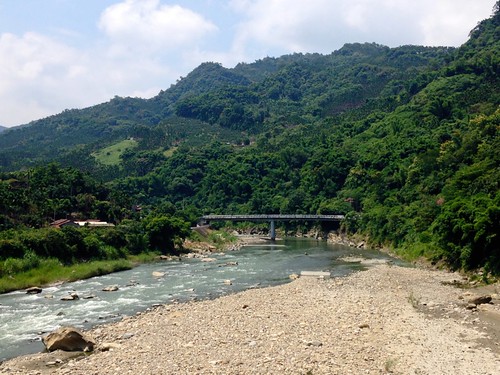
Both of these routes offer new and more interesting pathways in and out of the Sun Moon Lake area, and may be a welcome change from the traffic clogged arteries of the Highways 21 and 14.
IMG_1572

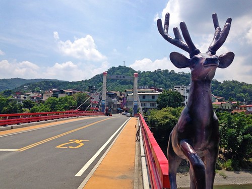
I lazily biked into Caotun and then lowered my shoulder as I pushed into a choppy crosswind along the Highway 14. I wasn't feeling too great and had no idea what my day would look like. As I eased my way onto the Route 147 that cuts a deep channel between Jiufen Er Shan and the foothills of the Sun Moon Lake area I decided that I would commit to a little adventure.
IMG_1575

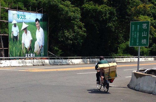
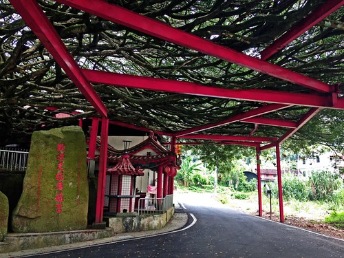
I stopped to double check my GPS and dribble sweat on a stainless steel table propped under the awning of an earth god temple. This was the beginning of the Nantou Route 68.
IMG_1582

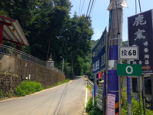
A couple of signs near the start of the road were advertising some sort of 玉門關谷. I had no idea what this Jade Gate Valley was, but the locals seemed to think it was something worth advertising. I was under the assumption that it was another "spectacular" tunnel of trees or some type of tourist temple site.
IMG_1583

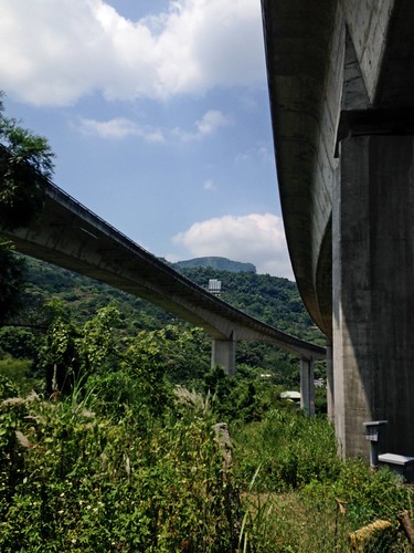
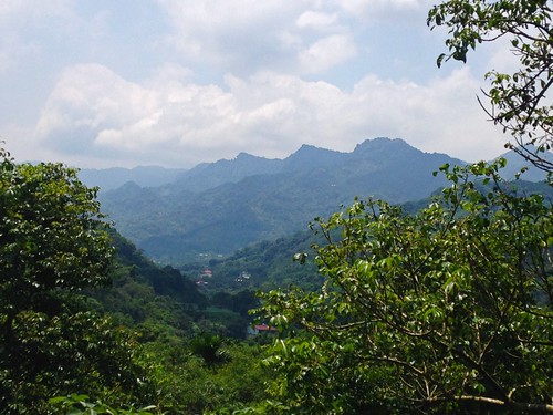
I lurched up into the mountains having left my climbing legs back on Wuling Pass. Within a few minutes I was high above the Route 147.
IMG_1584 IMG_1592

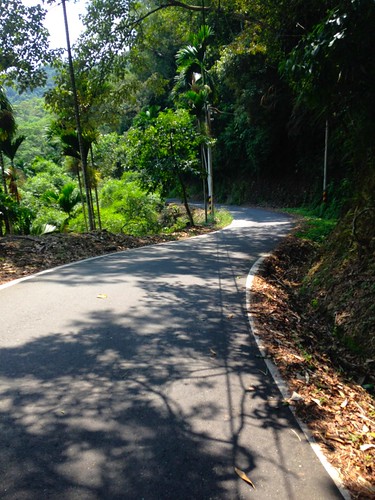
The road was a slithering slab of seamless asphalt. Being an election year, no road is too smooth for a repaving job, and this area had not been overlooked.
IMG_1595

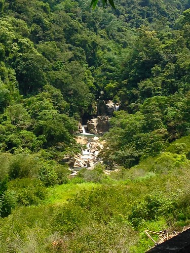
After a couple of bends along a jungled cliffside, I finally discovered what the Jade Gate was all about. It was an enticing set of cliffs and waterfalls that rivalled the Fairy Falls in Taichung's Taiping area. I was close to calling off the ride for a leap into the bubbling water under the falls, but I carried on.
IMG_1598

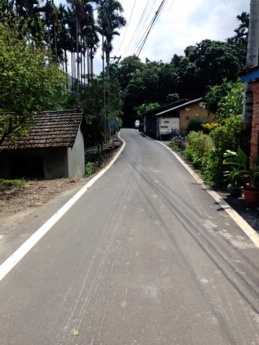
The Nantou Route 68 was not even close to as difficult as I had imagined as it mostly slung around the swampy tributaries of the former series of ponds that once made up the Sun Moon lake area before the Japanese hydroelectric project transformed the basin into the lake we see today,
IMG_1601

After a few more dips and humps I was closing in on the Highway 21. This would be a great route for someone looking to add a little panache to a Sun Moon Lake trip without incurring too much of a climbing penalty. The lack of traffic was well worth the few climbs I did have to contend with.
IMG_1614 IMG_1615

I almost hopped on the Highway 21 and went back home...almost.
IMG_1616

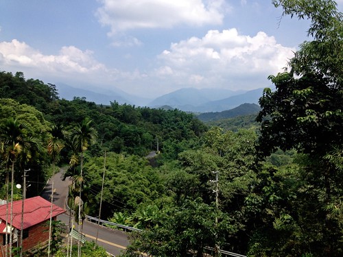
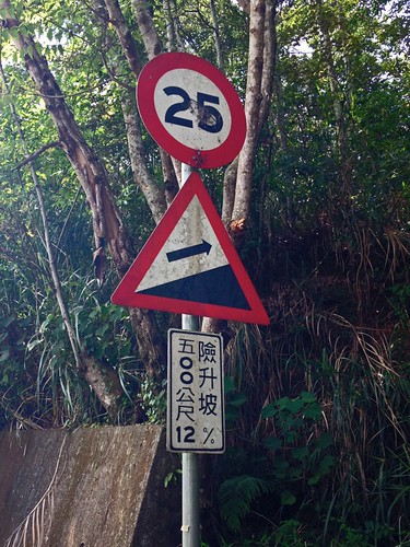
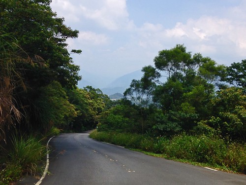
Curiosity and improving legs got the better of me and I hooked an immediate right onto the Nantou Route 64. The Route 64 is a different animal all together. Within a kilometre the road rises high above the Puli Basin.
IMG_1617 IMG_1618

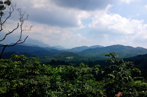
I could look down across layers of hills and the betel covered mounds below. I had looked across this area many times before on the ascent into Sun Moon Lake and I always wondered what could possibly be out in the seeming vastness of the wilderness unfolded before me. I was about to find out.
IMG_1621 IMG_1623

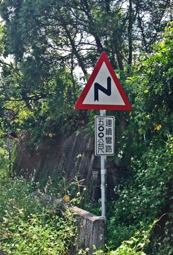
After a couple of 12% grades, the signs get more encouraging.
IMG_1630

I followed along as the road became nothing but a strip-- a well paved strip, mind you-- but a strip nonetheless.

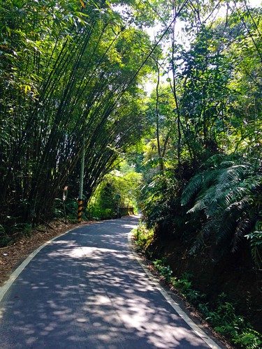
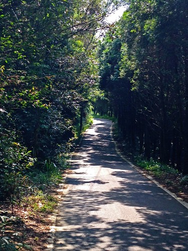
The coolness of the shady track was a dream in the summer heat as I zipped under the boughs of tall cedars. A troop of monkeys burst out of the bushed just in front of me and I was startled off my bike.
IMG_1632

At one point the road was so lovely, I hiked for a hundred meters or so, just to take in the serenity of the mountain. Not a single car in sight.
IMG_1634 IMG_1646

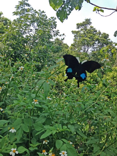
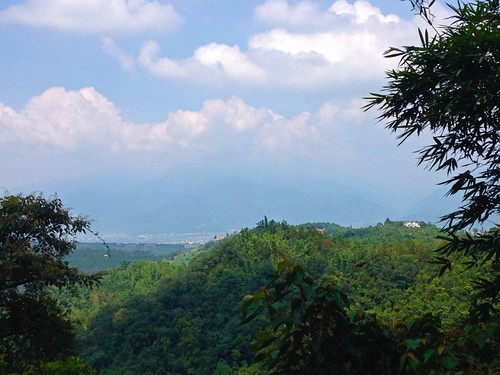
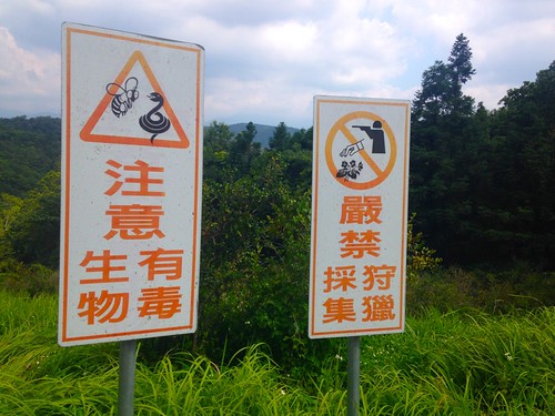
I passed the Taiwan Forestry Research Station amid the trees and tried to take it all in. This road was such a pleasant surprise. I couldn't live in the moment long enough.
IMG_1647 IMG_1658

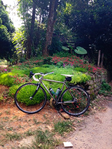
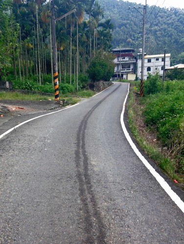
Finally, it was time to descend along the Route 64 to the Route 131, with is a long, wide downhill and enough speed over the distance to convince yourself that you are a much faster rider than you really are.
IMG_1661

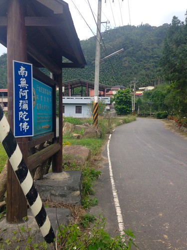
I passed through Shui-li and then beat a heavy rhythm back to Taichung, where I was stung by the smoke of a thousand prayer fires along the Highway 3 to close out Ghost Month.

It was a great day on the bike. I have missed these days.
IMG_1662

Route 2,770,023 - powered by www.bikemap.net