body{background-attachment: fixed ! important; }
Showing posts with label Sanlinxi. Show all posts

Sunday, November 23, 2014

Climbing A Mountain Of Tea: Sanlinxi on Nantou Route 49 and 49-1

Untitled

For my last weekend in my thirties I thought I should do something bold. I had a couple ideas in mind, but I needed to check the weather and see when I could get out of the house.

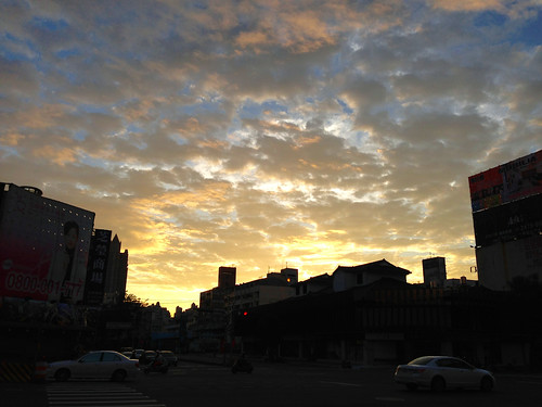
As soon as I saw the yellow glow of the rising sun reflect off the neighbouring high-rise, I took a gulp and knew where I was going-- I would be heading to Sanlinxi--the hard way.

There is the main road to the tea farming district of Sanlinxi, the 151, which snakes its way way past the outdoor tourism megaplex of Sitou and into the thinning mountain air. I have climbed this road a few times and I was looking for something different.

I had only ever descended the Nantou Route 49 and we were constantly being assured that somewhere beyond the towering wall of white mist lay the most amazing panoramic views. This time I was ready for some vistas.
Untitled

I chugged along to Zhushan (Jhushan) in about 90min. and then refuelled at the 7-11 that sits about four blocks inside the Route 149. I took three mini-packs of Gummi Bears to act as my energy gels as hey are cheaper, contain a third more calories than a gel, they taste better and are more fun to eat as they look like little tiny bears.
Untitled

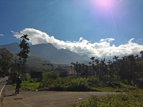
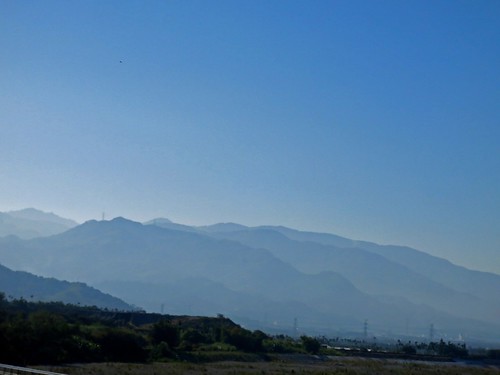
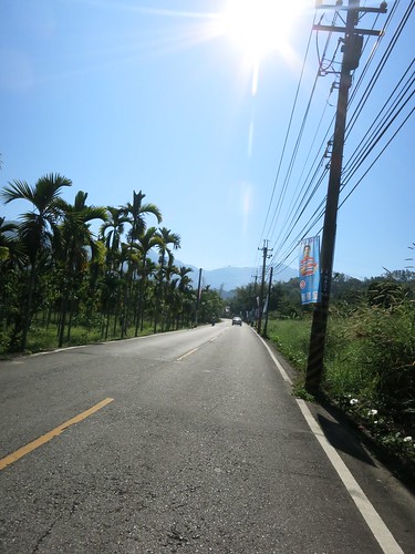
The mountains loomed ahead with the immediacy Taiwan's mountains all seem to possess. The Route  149 makes a quick right and the Route 49 keeps heading straight until it smashed head-on into a cliff that it makes no attempt to circumnavigate.
IMG_2763_2

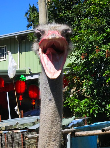
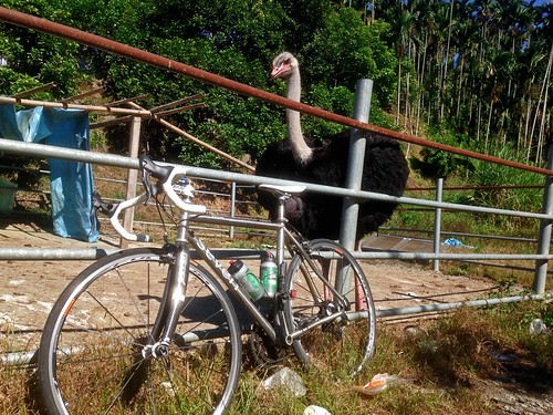
Before any serious climbing could commence, I had to stop at the absurd sight of a large African bird looming over the roadway. It must be the new prestige pet to replace the husky; another inappropriate animal for this environment. The ostrich was not taking visitors andI left before I could see any Moa (Ouch! Sorry about that).
Untitled

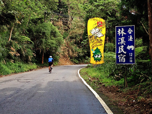
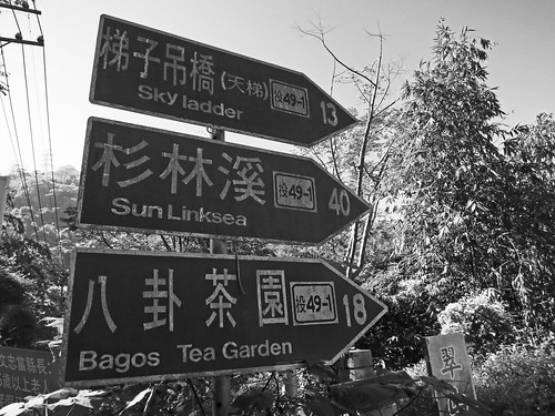
Although I had originally planned to take the 49 all the way up, I was lured into taking the 41-1. With names such as "Sky Ladder", how could I go wrong? It was going to Sanlinxi anyway. Fortunately that distance marker is about twice as far as the true destination.
Untitled

My legs were feeling a bit tired from my Thursday night ride (1650 calories in 90min) and I started to regret not resting another day.

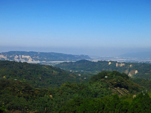
The landscape and my familiar landmarks started to warp into unfamiliar shapes as I edged higher above the plain.
Untitled

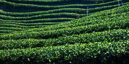
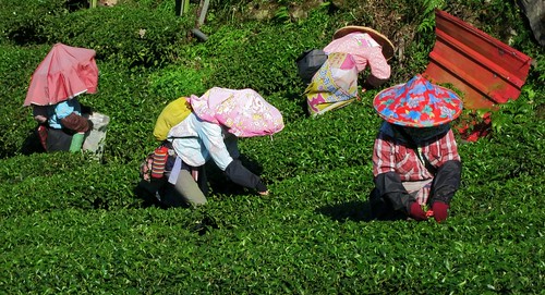
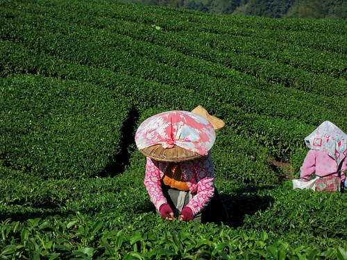
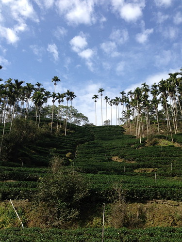
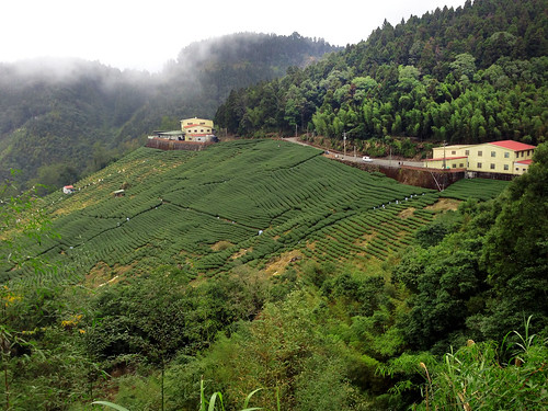
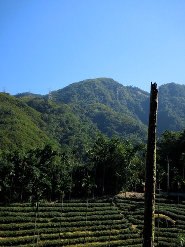
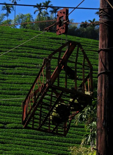
I was smack in the middle of tea country. It is amazing how much tea is being grown, but totally hidden from view.
Untitled

The altitude profile on the Route 49/49-1 is far, far steeper than on the 151. I was forced to battle lengthy stretches at 10 percent or more without the luxury of a switchback or gear spinning shelf. It was just a continual grind that churned my legs into hamburger.
Untitled

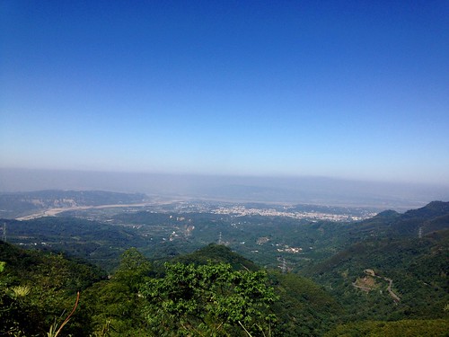
Despite being an alternate route by a good margin, the road conditions on the lower sections were simply praiseworthy.

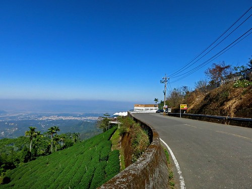
I found a ridge near the end of the 49-1 to spin the amino acids out on and felt a bit better about my prospects.
Untitled

The 49-1 descended and smacked into the 49. I was sorely disappointed that the "Sky Ladder" has been less spectacular than what I remembered from the Route 49.

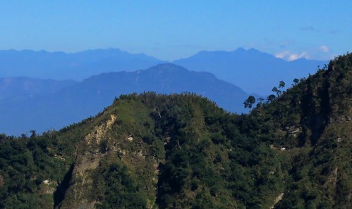
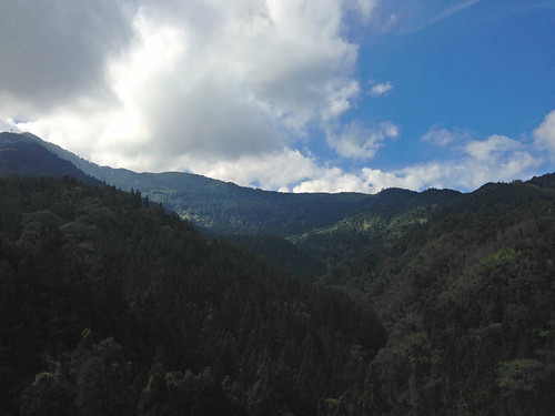
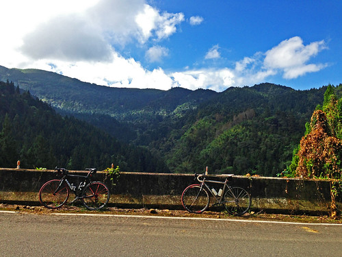
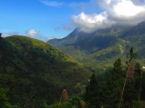
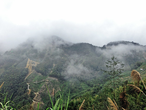
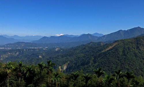
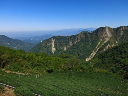
As soon as I turned the corner off the 49-1, the mountains came into view. It is really easy to forget how many of the damned things we have here in Taiwan. Just ripples upon ripples of vertical real estate.
Untitled Untitled Untitled Untitled Untitled

I kept at it and simply enjoyed being almost completely alone out on the roads. I imagine all the KOM contenders took a weekend off from the hills and with the marathon as the sport dejour in Taiwan as marathon chic is cheaper and easier to fudge than cycling chic, there are simply fewer cyclists to be seen in general. The mountains were mine!
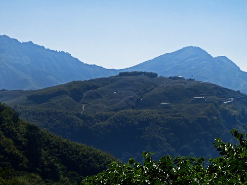
Untitled

After a rough dip about three quarters of the way up, the road becomes a narrow minefield of uneven slag. It becomes especially tedious travelling at a slow, climbing pace and takes a lot of attention away from soaking up the views.
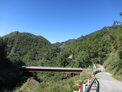
Untitled Untitled Untitled

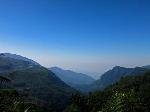
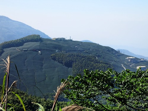
One of the greatest things about the Route 49 is that for large sections it faces outward toward the direction you started the climb. You can look back at your progress and really get a feel for the scope of what you are doing.
Untitled IMG_2781_2

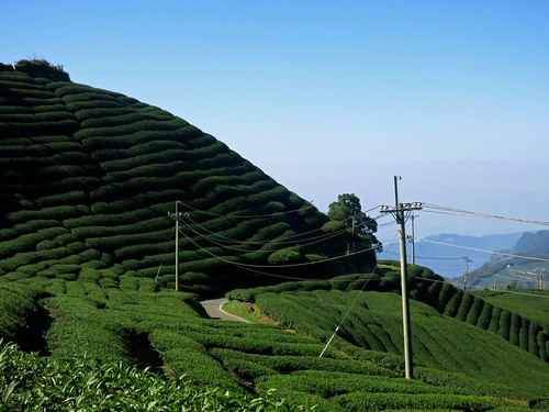
I was well past the point of no-return and found myself a little behind schedule. I was forced to continue upward along a slice of paved track through the tea fields.
Untitled

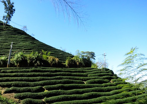
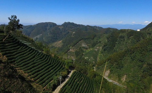
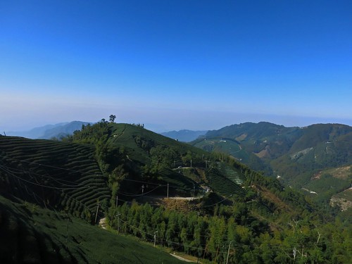
That little ribbon of roadway wrapped itself around every fold and contour on that hillside in a confusing boy scout knot amid layers upon layers of tea.
Untitled Untitled Untitled Untitled Untitled

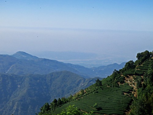
I could look back and still see that I could almost reach out and touch Zhushan, but I was merely elevated above the town by some 2000 meters.
Untitled Untitled

The road finally flattened out and I was able to build up a little bit of speed. I thought I could see the 151 to Sanlinxi just on the opposite hillside.
Untitled

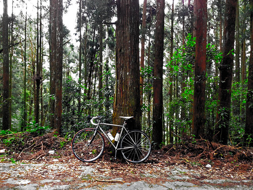
I took one last look over the mountains before disappearing into a cool cedar grove at the end of the Nantou Route 49.
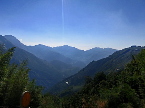
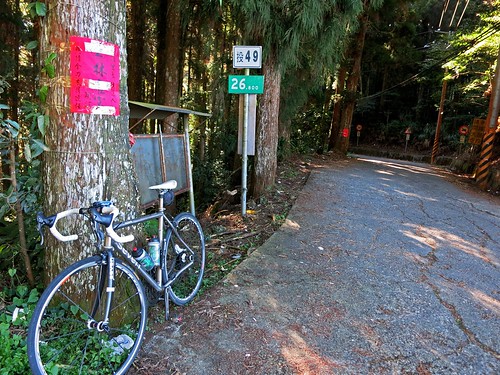
Untitled Untitled

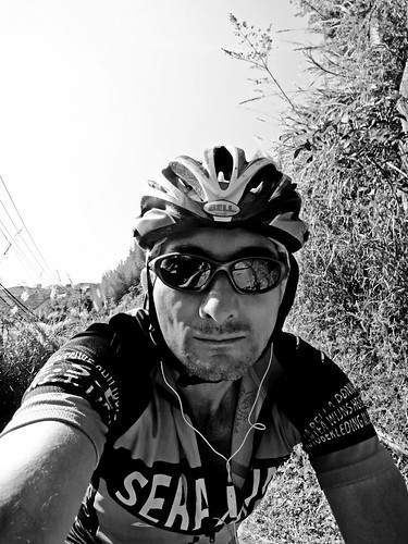
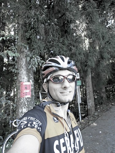
After a celebratory photo, I soaked up the biting chill as I dropped back down into the warmth of the flats.

As I beat it home, I was surprised how fast I was going with a crosswind and a little boost from a slight descent.

I stopped to assist a poor rider who was walking with a flat tire. He had no spare, no pump and didn't know how to change a flat. We have all been there at some point or another in life, and the best you can do is to lend a hand. He was so grateful for the cycling courtesy that we all (hopefully) share.


Untitled

THAT!!! That was a good day on the bike. Rewarding to the last. This is what 5581 calories of hard work looks like.

Route 2,854,053 - powered by www.bikemap.net

Tuesday, January 8, 2013

Sanlinxi: A Punishing Ride Up One Of Central Taiwan's Less Storied Climbs

Untitled

As far as the reductionism of bicycle writing on Taiwan goes, there are about three mentionable rides in the country: The Sun Moon Lake Tourism Ride, The East Coast Bike Trails and the thigh popping ride to Wuling Pass.

At least these are the rides that regularly make it into the self-agrandizingTaiwan Tourism ad copy or other more prolific publications than this one.

Aside from the Sun Moon Lake tourist trap, the other two are nice and even challenging rides. A ride over Wuling from either side of Taiwan is a downright spectacular and humbling experience for even the most seasoned rider.

Still, regular readers of this blog may already know that there are some other rides in the area that stand out for their challenging terrain and stunning natural beauty.

The ride up to the 1710m (5610ft) summit of the Sanlinxi tea farming area surely counts as one of the area's most spectacular and rewarding climbs. It requires some climbing fitness and a bit of preparation, but it can, on a good day, offer some outstanding views from the cedar-lined roads of the Nantou Rte. 151.


After a successful weekend of back to back standard century rides along the flat plains of Taiwan, I wanted to keep the ball rolling on my slow climb back into shape with another challenge to push my limits.

I figured the best way to figure out exactly how far I have fallen, was to climb upward toward the clouds.

I sent a message to Dom that I was interested in a ride from Taichung to Sanlinxi and back, covering over 160km (100mi) round trip. Dom was up on the idea to tackle a climb he had planned to attack on some drizzly weekend when the rest of us balked at the weather. He had still not made it up to the summit and it was a good opportunity for both of us to get something done.

I have made the trip a couple of times and aborted an attempt a few months back. The weather looked promising and so the die was cast.

At 7:00am on a sunny January morning we pointed our handlebars toward the mountains of Nantou. 
Untitled
I would also like to apologize for not charging my camera battery and thus having to resort to the limited optics courtesy of my phone. Sorry.  

The ride was a perfect example of dressing appropriately for Taiwan's winters. We must have stopped to strip something off or put something on no fewer than four time along the way.

A bright winter sun lit the way to Lugu and made the possibility of a successful ride to the top of Sanlinxi even better.


One thing to always remember is that the climate in the hills and in the mountains may be completely different. Taiwan's weather is notoriously unpredictable, as several friends were reminded on Sunday as they found rain on their ride, while we found sunny skies just a few kilometers away. The mountains above Lugu are even more unpredictable as they are high enough to hold onto some of the moisture blowing in from eastern Taiwan to create a rain shadow effect. Often, while the lowlands and foothills are shimmering in sunlight, the tops of the mountains are blanketed in a chilling fog. It is precisely the reason the areas around Sanlinxi and Lugu are revered for their production of high quality teas.


Each time I have made it to the top of Sanlinxi I have found myself meandering through the icy mists within the belly of a cloud bank.  

The initial climb to Lugu seemed to pass by pretty quickly. For some inexplicable reason, the usual lines of tourist coaches, luxury sedans, and college students romancing their way up to Sitou on scooters were absent. It made for a comfortable ride up to the beginning of the Sanlinxi Rd.


The road starts out with an easy series of lazy ramps that roll along making for a fine place to tune the legs for some good climbing.


The mountain loomed overhead in the gaps between cedars. It was soon time to layer back up as a cloud had wrapped itself around the top of the mountain again. Out came the windbreakers, leg warmers and fingered gloves.


As the grade continued skyward our pace slowed due to the fatigue of simply fighting gravity, and also due to the increasing distance we were logging as we fought for every inch of ground gained our pursuit of altitude.


A look down the valley simply affirmed our hunch that we were making some progress up the mountain.


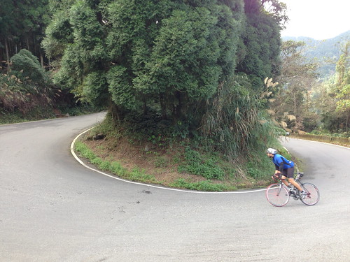
On the climb, there are twelve major switchbacks along the road. Each corner is named after a zodiac animal. Some fool also thought it would be fun to include kilometer markers on the signs to tell you exactly how far you have remaining before Sanlinxi.

The kilometers drop from the sign painfully slow, merely adding to the creaks of futility and despair screaming from the legs.


While I stopped to take some pictures Dom pulled out of sight as another wall of vapor slid across the road. 


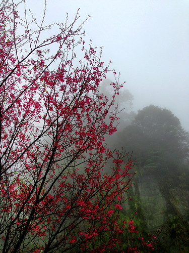
The scenery is simply amazing. There are reds of cedar, greens and yellows of bamboo, whites and grays of the clouds and the blues of the sky. 


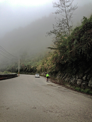
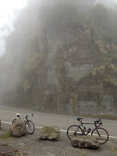
After a few punishing ramps, the road evens out as it jumps around to the other side of the ridge and into the clouds pushing up against the back of the mountain. As shadows take form out of the fog, the area is filled with a type of quiet best enjoyed from the saddle of a bicycle. Even the occasional car seemed to pull from the fog in complete silence. 


The road peaks at the 1710m summit where the Route 49 launches like a garbage chute back down to Zhushan. 


Around the corner a moderate descent takes hold and guides the bike down toward the tea fields and tourist shacks of Sanlinxi. The terraced tea fields are quite literally carved into the forested slope. 


As I looked back over the ridge we had just pulled ourselves across, I could see a huge yellow scar on the slope where a tea field hand given way and fallen into the valley below. It was obviously a huge financial loss for the farmers who rely on those fields.... but a stellar victory for nature. 


We passed through the tunnel to Sanlinxi and stopped for a break. 


Without much to see besides mist, we lingered long enough to feel as though we had made it to Sanlinxi and then we turned around as our legs cooled off in the chill. We still had another 55km to ride on the return trip and letting the legs rest too long can be a disaster as they may not start back up again.  


We took a few final looks at the area before letting gravity do the work of taking us off the mountain. A few spots on the road rattled my eyes in their sockets to the point of effective blindness, but you can't beat the feeling in the gut of a speedy descent. 


We refueled in Lugu and plugged for home. 

We hit a good string of green lights that helped with the momentum, but the speed and cross-headwind was really taking its toll on me. My 150km I was getting tired. By 165km I was missing the top range of my cruising speed. By 172km I was cooked. Dom did a phenomenal job pulling me home along the Highway 3. 


I felt like this was a huge improvement over the prior week with my fitness coming back up for longer periods of time. Last week I was worn out after 150km of flats. This week was the same, but I had endured 2182m of altitude gain for the day. 

I feel like I am making gains to get back to somewhere near where I once was. 

Oh, and there is a Sanlinxi race coming up this March, so I was happy to use this trip to conduct a little scouting of the course. I feel much better about getting there come race day.