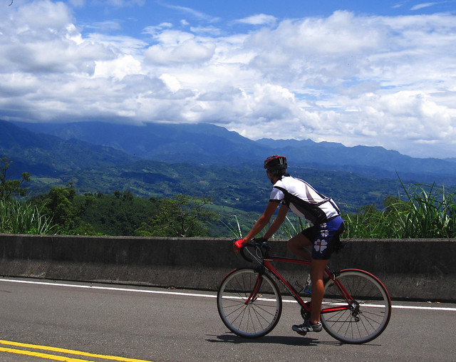
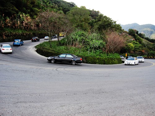
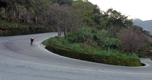
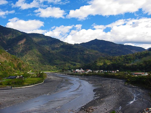
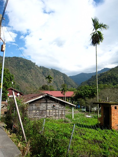
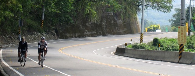
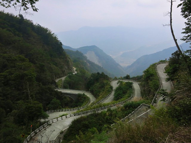
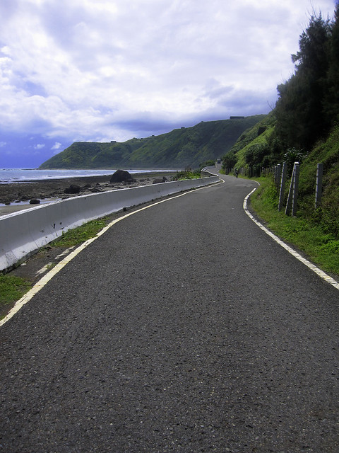
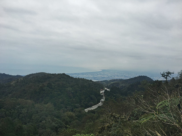
body{background-attachment: fixed ! important; }
Showing posts with label Taiwan bike routes. Show all posts

Wednesday, March 23, 2016

Taiwan Cycling Maps and Routes: Relaunch

Untitled

I would like to use this opportunity to relaunch my catalogue of Taiwan Cycling Routes and Maps. After a series of very unfortunate and untimely technical glitches, I have painstakingly recreated the maps I had on display.

They are now ready for your perusal.

I would like to apologise for any problems or inconveniences the missing maps may have caused.

These are not the only routes in Taiwan, but they may serve as a conversation starter.

Enjoy!

A.

Sunday, March 13, 2016

Taiwan's Round Island Trip: The Cultural Zeitgeist of Circling Taiwan's Center

IMG_3808.JPG
Jhuolan: Highway 3   


Many cyclists who live in Taiwan or come to Taiwan to visit, at some point or another, get the idea to bike around Taiwan. Locals call it the 環島 (huan dao) trip, and it has become an indelible part of local Taiwanese culture, often as a rite of passage or personal challenge. Although the idea of biking around Taiwan is nothing new, the huan-dao experience really gained traction following the release of the 2006 sleeper hit, Island Etude. Inspired by a true story, the plot is driven by a young man who, along with his acoustic guitar which he incredibly straps to his back, attempt to circumnavigate Taiwan by bicycle and in the process encounter a variety of people, their lives and ideas. The movie found salience in Taiwan at a time when the culmination of pro localization policies that had begun under president Lee Teng-hui, and continued under his successor, Chen Shui-bian, had reached their nadir before 2008 ushered in the reactionary policies of Ma Ying-jiu-- policies that hoped to both reign in Taiwan's 本土化, or localization movement, and reframe Taiwanese culture into a greater Chinese context. Island Etude did not serve to instil in Taiwanesea sense of a unique and separate Taiwanese culture, but rather, it found salience-- especially with younger Taiwanese-- in its ability to provide a visual representation of an identity that has been regularly challenged and denied by Chinese nationalists on both sides of the strait who have chalked up the Taiwanese identity to the fortunes of political actors and their ethnic politics rather than an expression of popular sentiments. Island Etude served as a very powerful symbol as circling Taiwan sketched a defined border as both a loving embrace and as a defensive shield that is understood by those within as belonging to a collective "we/us" vs. an undefined them. Within the closed loop of Island Etude's huan-dao trip, the film deals with overlapping ideas of identity, culture, environmentalism, cosmopolitanism, localism and ethnicity within the meaningful symbolism of Taiwanese cultural life.

Over the next eight years, the Ma administration would attempt to both promote Taiwan's huan-dao trip with the creation of Taiwan's first official round-island bicycle route, while attempting to obscure and reframe Taiwanese culture as a mere subgroup of a glorious Chineseness.

The power of Island Etude can be indirectly felt in the firm rebuke of Ma Ying-jiu'diminutizing cultural policies, and in the rise of several social movements, many of which were led and organized by Taiwan's younger generation-- movements which are loosely united through a shared sense of a Taiwan-centered identity and the feeling that the policies enacted by the Ma administration were antithetical to the goals of protecting Taiwan's security, environment, economy, culture and, most important,Taiwan's precious democracy. It was the generation of the Sunflower Movement that really made the huan-dao into the cultural phenomenon it is today, as it is the generation that has has filled the act with meaningful symbolism that weaves together identity, social action and the imagination of what Taiwan is and what it can be. 

---------------------------------------------------------------------------------------------------
In the spirit of Island Etude's 10th anniversary, I would like to present my own huan-dao 環島 route for those looking to also embrace Taiwan and learn the contours of land through the physicality of cycling.

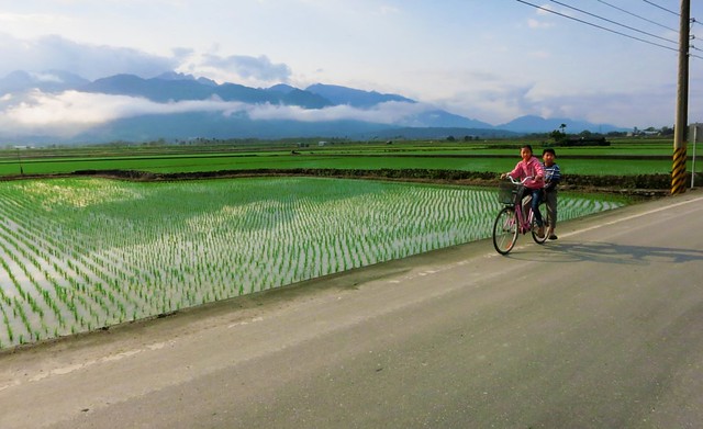
There are so many options and so many roads. There are so many things to see and do. 

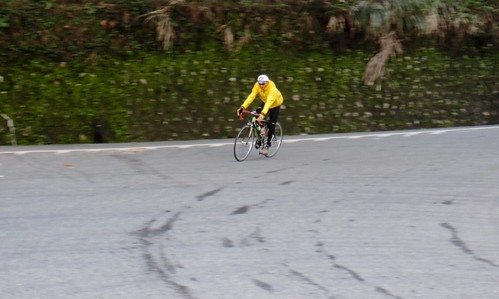
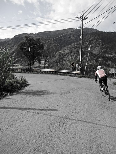
This route is a winter route running counter-clockwise assuming the rider will be arriving at the Taoyuan, Taiwan International Airport for a couple weeks of cycling without camping equipment.

I would advise the rider to be in good physical shape and have gearing for climbs. 

I'll start this route in Sanhsia 三峽 as it is near the end of the Blue-Line of the MRT and close to the airport.

Untitled
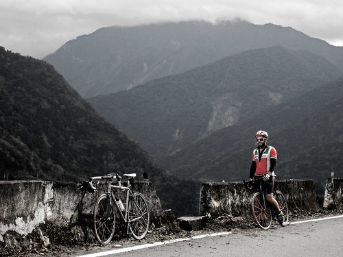
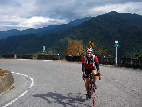
Highway 7 (Northern Cross Island Highway)

Untitled
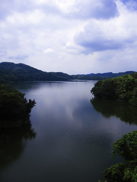
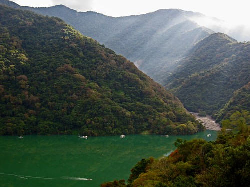
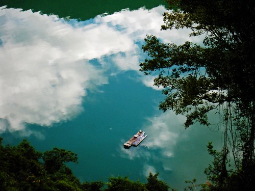
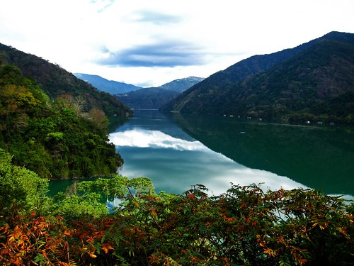
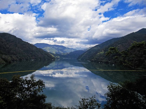
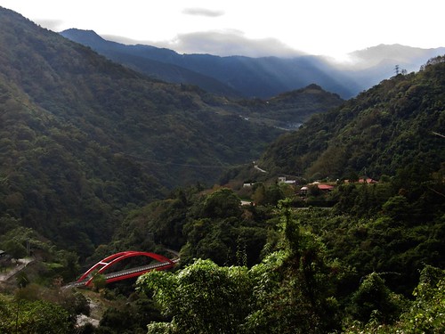
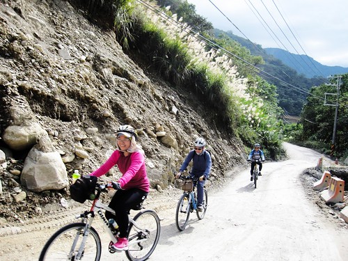
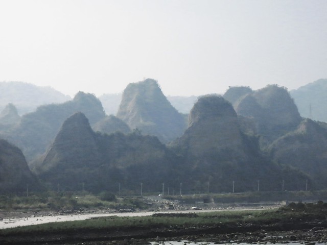
Mingde Reservoir: Miaoli Route 126

Untitled
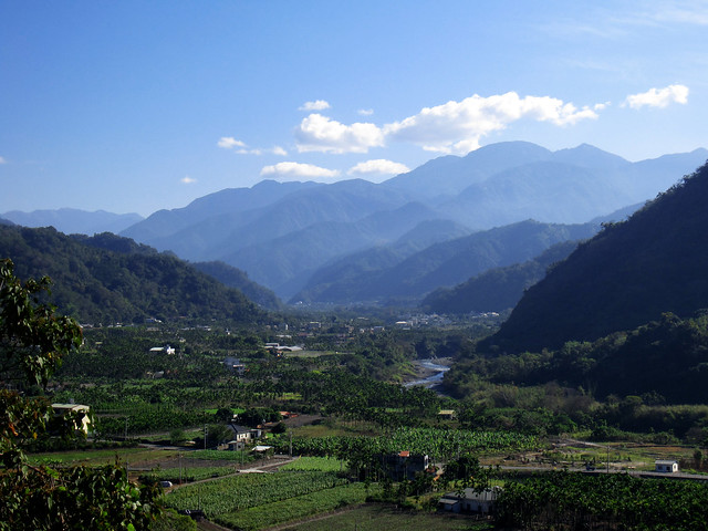
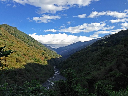
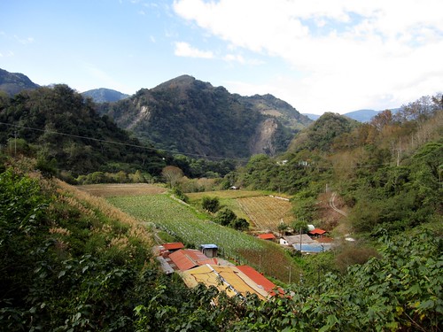
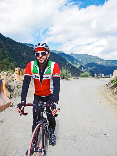
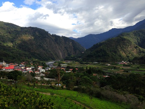
Guoxing Township: Highway 21

Wujie
Wujie, Nantou: Route 83

Untitled
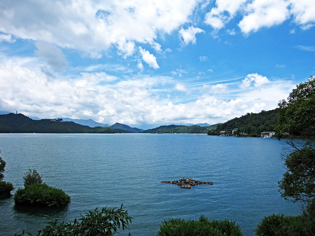
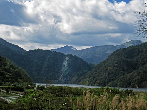
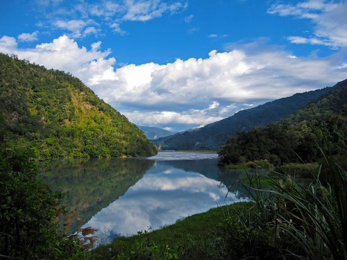
Sun Moon Lake: Route 21

  Untitled
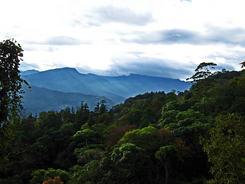
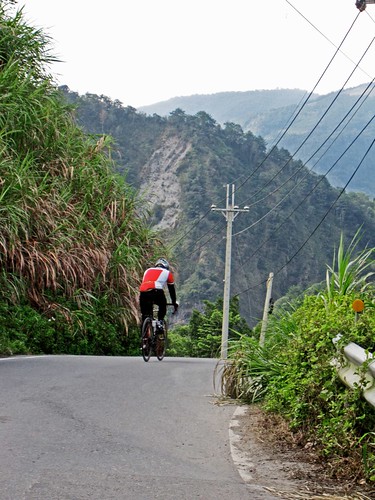
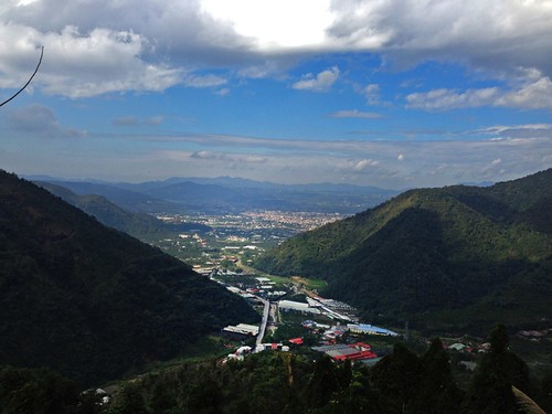
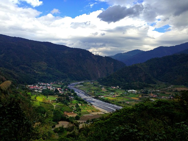
Renai Township: Nantou, Route 56

Untitled
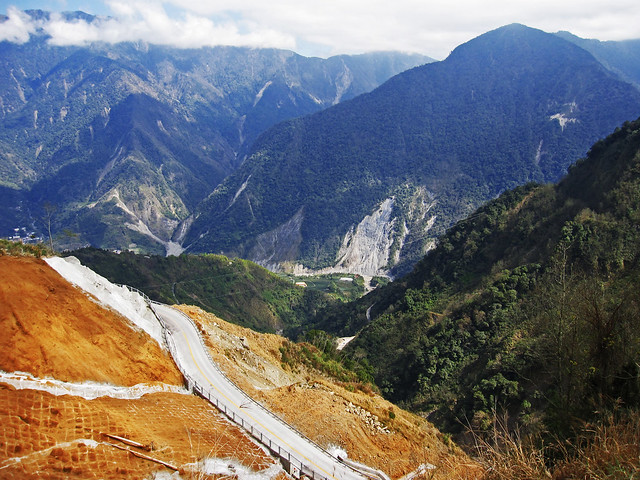
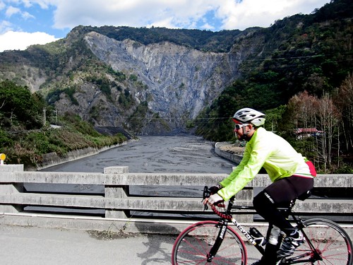
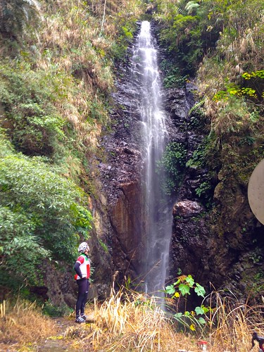
Tataka (Tatajia), Alishan: Highway 21

IMG_4774
Highway 27, Kaohsiung
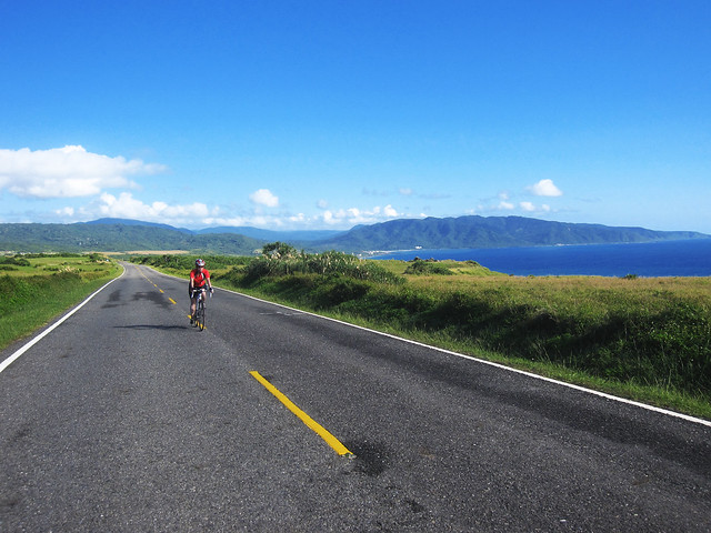
Untitled
Kenting: Route 26

Untitled
Manzhou Township: Highway 26

IMG_3566
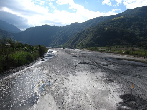
Zhuofu Industrial Rd., Fuli, Taidong County.
Seven Cycles Axiom SL: Biking Lanyu
Lanyu

IMG_0597   
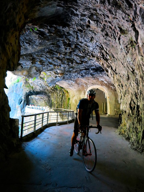
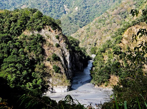
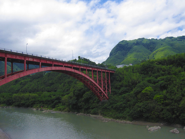
Taroko Gorge: Highway 8, Hualien


Untitled      
Iilan: Highway 9


Route 3,435,248 - powered by www.bikemap.net

Tuesday, May 5, 2015

BREAKING! Taiwan Tourism Bureau Infotisement Doesn't Suck.

IMG_3530


The Taiwan Tourism Bureau has a paid cycling tourism infotisement in the latest volume of the Smithsonian Magazine.


Over the last two decades, Taiwan has transformed into a cyclist's paradise, opening thousands of kilometers of interwoven bikeways through some of the island's most beautiful landscapes. The extensive new network of routes has earned the country many accolades, including a spot on Lonely Planet's 2012 Best Countries to Visit list and CNN Travel's top "Cycling Routes That'll Take Your Breath Away," and for good reason. By bike, visitors can cruise past hillsides painted with colorful flower farms, marvel at the geology of Taroko Gorge's marble walls, follow old rail lines through retired mining tunnels, cross thrill-inducing suspension bridges and sample sweet pineapple cakes from local farm stands. 
The countless routes provide plenty of opportunities for individual exploration, but here are six of the most spectacular bikeways to fuel the imagination.
My biggest quibbles would be that Sun Moon Lake is not a route for cyclists, but for non-cyclists who want to hop on a bike for the first time in decades and follow the shore. It is an environment that, at least on weekends, is not suitable for regular cyclists. 

The other issues I might have would be inviting cyclists to jump into the streets of the Xinyi District with no knowledge of how Taiwan traffic functions, and the loop through a bunch of prefab buddhas and a brand new temple of concrete and rebar. For me, personally, it does nothing. Someone might be into those things. Bagua Shan can be great, but the Buddha they affixed to the site of the former Japanese Shinto Shrine is a bit of a contrivance. 

The Yuli Bikeway and the interior of the Rift Valley is exquisite. Taroko Gorge is also something a visiting cyclist should hope to see. Though Taroko is best visited early before the hordes of tourists and motor coach trains start up the gorge after 9:00am.

Monday, December 17, 2012

Wushe to Wujie: Biking Taiwan's Most Amazing Places

IMG_1991

First, I would like to welcome myself back to blogging after a few weeks off. I had some other contracted writing to get done and most of the other recent cycling news is deeper than a few minutes of fluff. 

I can think of no better way to roll back onto the blog, than with this post from a gorgeous Sunday of cycling through one of the most secretly awe inspiring landscapes in Taiwan.

With rotten weather and other obligations, I was looking to get back on the bike, but I was in a bit of a dilemma. I wanted to ride something outside the regular loops to Sun Moon Lake or Miaoli, but my lack of conditioning meant that a little more adventure would remain out of reach until my legs and fitness return.

Somewhere in the discussion, Dom, who is getting used to his role as the action model for this blog, mentioned riding out to Wujie. The village of Wujie is nestled deep in a valley behind Puli Township, and boasts some of the most spectacular images of verdant farms tucked against looming shadows of ancient cliffs. 

Soon the discussion turned to the Nantou Route 83, a route which traverses the Wanda Reservoir below Wushe. 

The idea was too interesting to pass on and we quickly made arrangements to drive out to Puli and make the most of a sunny December morning with a short 60km ride through the mountains. 


IMG_1657
Highway 14 to Wushe

We parked in a hospital parking lot and fueled up on some coffee and snacks before launching into the flow of traffic heading toward Wuling Pass. 

The roads are nice enough, but there were ten too many Nissan Cefiros on the road to make the climb up to Wushe a very relaxing one. If we weren't getting barnstormed by a battle damaged Cefiro, it seemed we we being bulldozed out of the way by a fleet of VW Transporter vans sent by one hotel or another to haul guests around the window framed scene-scape in the cushioned comfort of a foam seat.  

IMG_1682
Wagon Train

The climbing starts after about 15km from Puli, and it is never really as bad as it looks. There are about four hairpin turns to grunt through, but the worst is over so quickly it is actually a very accessible climb for a variety of riders. 

IMG_1686
Fellow Rider

We met a few other people on the road and chatted to a couple of guys who were eager to get up to Wuling and... I dunno... experience cold. 


IMG_0096
Dom Attacks

Dom charged the hill and we were soon sitting in Wushe ready to embark on a little adventure. 

IMG_0108
Lucky Sevens

IMG_0091
View from Wushe

IMG_1695

As we turned onto the Nantou Route 83, I knew it was going to be a great day of riding. The sun was beaming through the branches. There were blue skies above and the sparkle of light glittering off the waters below. 

IMG_1701
Nantou Route 83

I often forget how pretty Taiwan's forests become in the winter. I hope my readers will forgive me for the numerous images in this post, but when it came time to edit, I just couldn't bring myself to cut. 

IMG_1703

The scenery made it as if we were biking through a living Bob Ross painting. The hills were dobs of Van Dyke Browns, Yellow Ochres, Burnt Siennas, with wisps of Titanium White laying blanket-like over the hump of a mountain. 

The layers of color punching through the green added a sense of depth and texture that is often missing from the hillsides in other months. 

IMG_1739

The water below was a glassy reflecting pool that gave the mountains the illusion of staring into a hole through which you could peer through the earth. There were skies above and below us. 

IMG_1744 IMG_1780

On the opposite end of the reservoir, we could look out at Chingjing Farm and the tourist villas above. 

IMG_1788

Past the reservoir the road cuts along shallow, swift moving rivers that supply small villages with work on the reservoir, as well as a some heartbreak during the floods of a typhoon. We passed more than one memorial along the route to people who had died in flooding. 

IMG_1812

There was still plenty of traffic as the roads were in excellent shape. Most of the cars were pointed toward the Awanda Leisure Forest; a lovers escape to look at maple leaves and for girls to be impressed by the massive camera lenses swinging amid falling leaves. Be sure to avoid the Awanda route as it is a dead end. Stay right. 

IMG_1827

My little point and shoot Canon was obviously not enough to impress Dom, so we made slow progress toward Wujie while we tripped over our own amazement in looking at the scenery.

IMG_1853

Be sure to fill up on water. The entire road along the river is so stunning, it will leave your mouth agape for lone periods at a time and hastening dehydration. 

The riverside cliffs are so overwhelming and the lack of much in the way of tourist infrastructure is even more rewarding. You simply feel like you are an invisible observer as an entirely different world unfolds around you.   

IMG_1855


IMG_1860


IMG_1894
Song Lin Village

We stopped in the village of Song Lin for a water and to take a look around. The entire village was arranged in a manner very similar to how it may have looked seventy years ago. It was a grid of narrow streets and houses that were about three times as long as they were wide. In many ways they were timber and concrete versions of the traditional houses once used by the area's Bunun and Atayal speakers. 

IMG_1899

As we regrouped, a little boy rode up on his bike and demanded that I speak with him in English. I scowled by best Han Solo half-faced scowl, and told him that I wasn't going to ask him to dance or sing for me. He then changed the subject to my relationship with Kobe Bryant. 

IMG_1902
Local Bar

IMG_1915

The remaining 10k of road is a series of short, punchy climbs and easy glides through narrow corners amid tall grass and terraced farms. 

There is also a prehistoric site along the road where there is evidence of a settlement dating back over 2000 years. This would place this river valley as a key location in the dispersal of Austronesian languages and cultures. 

IMG_1921 IMG_1932


Wow!

IMG_1939


IMG_1950

With such a great road it was easy to enjoy picking up a little bit of speed between camera stops. One corner had me coming in too hot and I just about slid into the gutter. 

IMG_1961

At one point we encountered a group of mountain bikers coming in from Wujie. From the looks of them we were not too far off. The area boasts some excellent mountain bike trails. 

IMG_1967 IMG_1971 IMG_1974

As we burst through a tunnel that looked like something out of a Disney theme park, we were suddenly met with one of the most beautiful images this rider has ever encountered in Taiwan. 

IMG_1985

We also stopped to take a look at one of the many waterfalls dotting the area. 

IMG_0125


IMG_2034

A quick lunch of fried pork in Wujie provided enough fuel to push us over the Nantou Route 71 toward home. 

IMG_2036 IMG_2048 IMG_2055 IMG_2076 IMG_2081

The climb out of Wujie is far more preferable to the ride leading into Wujie from Puli. 

IMG_0131
Wujie

I turned back a couple more times to catch a glimpse of the entire valley and reflect on the images I will try to hold in my mind for as long as possible. It was truly on of the best rides I have had the chance to complete. 

For all those riders in central Taiwan.... The next time you think about going out to Sun MoonLake again.... give this route a try. The rewards far outweigh the investment. I will surely be doing this ride again. Hopefully as a part of a longer campaign. 

Now get out there and ride this before the Tourism Bureau finds out and ruins it with tour busses and sausage stalls.

IMG_0139
Puli Basin

Bike route 1929377 - powered by Bikemap